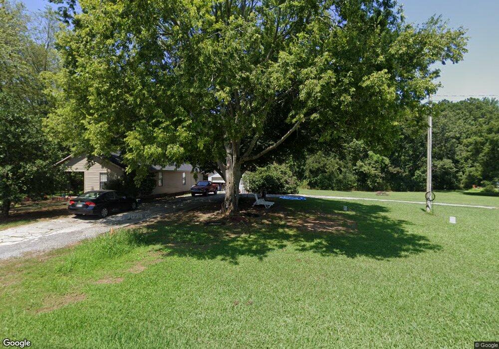
4719 Tibbs Bridge Rd SE Dalton, GA 30721
Estimated Value: $161,000 - $198,000
3
Beds
2
Baths
1,283
Sq Ft
$142/Sq Ft
Est. Value
About This Home
This home is located at 4719 Tibbs Bridge Rd SE, Dalton, GA 30721 and is currently estimated at $182,200, approximately $142 per square foot. 4719 Tibbs Bridge Rd SE is a home located in Whitfield County with nearby schools including Cedar Ridge Elementary School, Eastbrook Middle School, and Southeast Whitfield County High School.
Ownership History
Date
Name
Owned For
Owner Type
Purchase Details
Closed on
Dec 28, 2024
Sold by
Rios Jesus Octavio
Bought by
Martinez Torres Graciela and Lorenzo Hernandez Hector
Current Estimated Value
Purchase Details
Closed on
Jan 14, 2005
Sold by
Not Provided
Bought by
Rios Jesus O
Purchase Details
Closed on
Sep 3, 2004
Sold by
Federal Home Loan Mortgage Cor
Bought by
Paniagua Construction Llc
Purchase Details
Closed on
Jun 1, 2004
Sold by
Branch Banking & Trust Company
Bought by
Federal Home Loan Mortgage Corporation
Create a Home Valuation Report for This Property
The Home Valuation Report is an in-depth analysis detailing your home's value as well as a comparison with similar homes in the area
Home Values in the Area
Average Home Value in this Area
Purchase History
| Date | Buyer | Sale Price | Title Company |
|---|---|---|---|
| Martinez Torres Graciela | -- | None Listed On Document | |
| Rios Jesus O | $110,000 | -- | |
| Paniagua Construction Llc | $73,300 | -- | |
| Federal Home Loan Mortgage Corporation | -- | -- | |
| Branch Banking & Trust Company | -- | -- |
Source: Public Records
Tax History Compared to Growth
Tax History
| Year | Tax Paid | Tax Assessment Tax Assessment Total Assessment is a certain percentage of the fair market value that is determined by local assessors to be the total taxable value of land and additions on the property. | Land | Improvement |
|---|---|---|---|---|
| 2024 | $995 | $62,098 | $10,330 | $51,768 |
| 2023 | $995 | $39,655 | $7,728 | $31,927 |
| 2022 | $640 | $30,265 | $6,786 | $23,479 |
| 2021 | $640 | $30,265 | $6,786 | $23,479 |
| 2020 | $651 | $30,265 | $6,786 | $23,479 |
| 2019 | $656 | $30,265 | $6,786 | $23,479 |
| 2018 | $620 | $28,955 | $5,476 | $23,479 |
| 2017 | $620 | $28,955 | $5,476 | $23,479 |
| 2016 | $610 | $28,992 | $7,602 | $21,390 |
| 2014 | $581 | $28,992 | $7,602 | $21,390 |
| 2013 | -- | $28,992 | $7,602 | $21,390 |
Source: Public Records
Map
Nearby Homes
- 185 Cedar Ridge Rd
- 4322 Banks Dr SE
- 760 Keith Rd SE
- 0 Leon Cir
- 210 Gordon Dr
- 404 Lakeview Dr SE
- 0 Tibbs Bridge Rd SE
- 01 Headrick Cir SE
- 00 Headrick Cir SE
- 3214 Headrick Cir SE
- 3657 Airport Rd
- 0 Cheree Way Unit 129259
- 00 Gaines Rd SE
- 871 Robinson Rd
- 3807 Georgia 52
- Lt 30-33 Indian Dr NE
- 0 Old Free Hope Rd
- 230 Indian Dr NE
- Lot 30-33 Indian Trail NE
- 1121 Bell Loop
- 4731 Tibbs Bridge Rd SE
- 4712 Riverside Dr SE
- 709 Timberlake Dr SE
- 4722 Riverside Dr SE
- 4710 Riverside Dr SE
- 4737 Tibbs Bridge Rd SE
- 4696 Tibbs Bridge Rd SE
- 4742 Tibbs Bridge Rd SE
- 4743 Tibbs Bridge Rd SE
- 4707 Riverside Dr SE
- 4750 Tibbs Bridge Rd SE
- 4721 Riverside Dr SE
- 716 Timberlake Dr SE
- 4695 Riverside Dr SE
- 4725 Riverside Dr SE
- 4738 Riverside Dr SE
- 4756 Tibbs Bridge Rd SE
- 719 Timberlake Dr SE
- 4746 Riverside Dr SE
- 740 North Dr SE