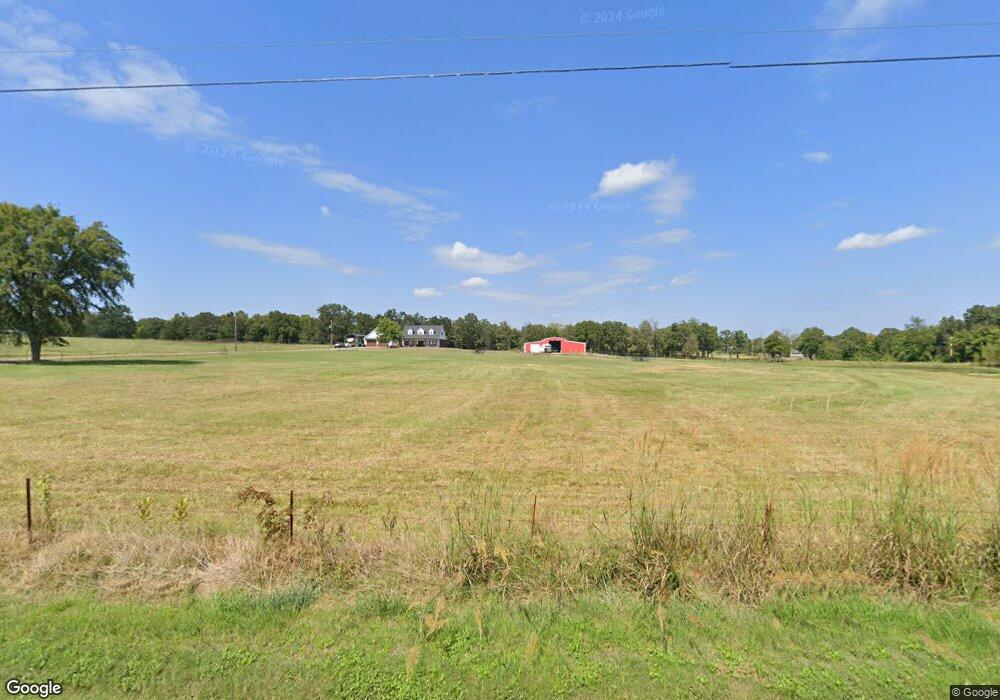
471923 E 1083 Rd Muldrow, OK 74948
Estimated Value: $303,000 - $435,000
5
Beds
3
Baths
3,035
Sq Ft
$121/Sq Ft
Est. Value
About This Home
This home is located at 471923 E 1083 Rd, Muldrow, OK 74948 and is currently estimated at $367,735, approximately $121 per square foot. 471923 E 1083 Rd is a home located in Sequoyah County with nearby schools including Muldrow Elementary School, Muldrow Middle School, and Muldrow High School.
Ownership History
Date
Name
Owned For
Owner Type
Purchase Details
Closed on
Feb 8, 2013
Sold by
Scott Amanda Dawn and Calvert Amanda Dawn
Bought by
Calvert Dale W and Calvert Amanda D
Current Estimated Value
Home Financials for this Owner
Home Financials are based on the most recent Mortgage that was taken out on this home.
Original Mortgage
$102,500
Outstanding Balance
$18,869
Interest Rate
3.38%
Mortgage Type
New Conventional
Estimated Equity
$348,866
Purchase Details
Closed on
Apr 21, 2011
Sold by
Scott Jason and Scott Thomas Jason
Bought by
Scott Amanda and Scott Amanda Dawn
Create a Home Valuation Report for This Property
The Home Valuation Report is an in-depth analysis detailing your home's value as well as a comparison with similar homes in the area
Purchase History
| Date | Buyer | Sale Price | Title Company |
|---|---|---|---|
| Calvert Dale W | -- | None Available | |
| Scott Amanda | -- | None Available |
Source: Public Records
Mortgage History
| Date | Status | Borrower | Loan Amount |
|---|---|---|---|
| Open | Calvert Dale W | $102,500 |
Source: Public Records
Tax History
| Year | Tax Paid | Tax Assessment Tax Assessment Total Assessment is a certain percentage of the fair market value that is determined by local assessors to be the total taxable value of land and additions on the property. | Land | Improvement |
|---|---|---|---|---|
| 2025 | $1,846 | $26,980 | $680 | $26,300 |
| 2024 | $1,846 | $26,194 | $660 | $25,534 |
| 2023 | $1,790 | $25,431 | $660 | $24,771 |
| 2022 | $1,683 | $24,690 | $660 | $24,030 |
| 2021 | $1,632 | $24,690 | $660 | $24,030 |
| 2020 | $1,361 | $20,152 | $660 | $19,492 |
| 2019 | $1,391 | $20,581 | $660 | $19,921 |
| 2018 | $1,408 | $20,812 | $660 | $20,152 |
| 2017 | $1,423 | $21,027 | $660 | $20,367 |
| 2016 | $1,440 | $21,258 | $660 | $20,598 |
| 2015 | $1,454 | $21,456 | $660 | $20,796 |
| 2014 | $1,011 | $15,230 | $460 | $14,770 |
Source: Public Records
Map
Nearby Homes
- 108412 S 4720 Rd
- 107774 S 4720
- 471804 E 1070 Rd
- 109635 S 4720 Rd
- TBD S 4720 Rd
- Tbd Water Tower Rd
- 106078 S 4715 Rd
- 110 Water Tower Rd
- 203 Pendergrass St
- 701 N Oak St
- 469958 E 1099 Rd
- 103 NE 1st St
- 102 NW 2nd St
- 1505 Cherokee Rd
- 103756 Oklahoma 64b
- TBD Hugo St
- 110134 S 4696 Rd
- 466821 E 1090 Rd
- 111024 S 4710 Rd
- 705 Wesley Ln
- 471870 E 1080 Rd
- 471886 E 1083 Rd
- 471978 E 1080 Rd
- 108270 S 4720 Rd
- 471795 E 1083 Rd
- 471846 E 1083 Rd
- 107886 S 4720 Rd
- 471752 E 1080 Rd
- 471694 E 1080 Rd
- 472105 E 1080 Rd
- 108287 S 4720 Rd
- 108287 S 4720 Rd
- 472210 E 1080 Rd
- 108434 S 4720 Rd
- 471757 E 1083 Rd
- 471636 E 1080 Rd
- 471636 E 1080 Rd
- 471861 E 1085 Rd
- 471965 E 1085 Rd
- 471703 E 1083 Rd
Your Personal Tour Guide
Ask me questions while you tour the home.