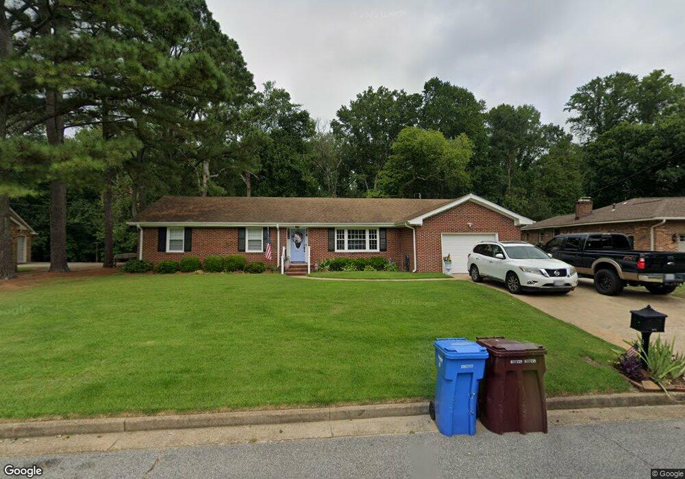
472 Beauregard Dr Chesapeake, VA 23322
Pleasant Grove West NeighborhoodEstimated Value: $424,000 - $441,000
3
Beds
2
Baths
1,713
Sq Ft
$252/Sq Ft
Est. Value
About This Home
This home is located at 472 Beauregard Dr, Chesapeake, VA 23322 and is currently estimated at $431,530, approximately $251 per square foot. 472 Beauregard Dr is a home located in Chesapeake City with nearby schools including Butts Road Primary School, Butts Road Intermediate School, and Great Bridge Middle School.
Ownership History
Date
Name
Owned For
Owner Type
Purchase Details
Closed on
Apr 22, 2011
Sold by
Needham Yvonne H
Bought by
Riggs Chad
Current Estimated Value
Home Financials for this Owner
Home Financials are based on the most recent Mortgage that was taken out on this home.
Original Mortgage
$212,473
Outstanding Balance
$146,244
Interest Rate
4.75%
Mortgage Type
FHA
Estimated Equity
$285,286
Create a Home Valuation Report for This Property
The Home Valuation Report is an in-depth analysis detailing your home's value as well as a comparison with similar homes in the area
Home Values in the Area
Average Home Value in this Area
Purchase History
| Date | Buyer | Sale Price | Title Company |
|---|---|---|---|
| Riggs Chad | $218,000 | -- |
Source: Public Records
Mortgage History
| Date | Status | Borrower | Loan Amount |
|---|---|---|---|
| Open | Riggs Chad | $212,473 |
Source: Public Records
Tax History
| Year | Tax Paid | Tax Assessment Tax Assessment Total Assessment is a certain percentage of the fair market value that is determined by local assessors to be the total taxable value of land and additions on the property. | Land | Improvement |
|---|---|---|---|---|
| 2025 | $3,760 | $390,500 | $185,000 | $205,500 |
| 2024 | $3,760 | $372,300 | $185,000 | $187,300 |
| 2023 | $3,236 | $351,900 | $175,000 | $176,900 |
| 2022 | $3,230 | $319,800 | $156,000 | $163,800 |
| 2021 | $2,931 | $279,100 | $131,000 | $148,100 |
| 2020 | $2,811 | $267,700 | $126,000 | $141,700 |
| 2019 | $2,811 | $267,700 | $126,000 | $141,700 |
| 2018 | $2,841 | $270,600 | $126,000 | $144,600 |
| 2017 | $2,779 | $264,700 | $126,000 | $138,700 |
| 2016 | $2,664 | $253,700 | $115,000 | $138,700 |
| 2015 | $2,633 | $250,800 | $105,000 | $145,800 |
| 2014 | $2,633 | $250,800 | $105,000 | $145,800 |
Source: Public Records
Map
Nearby Homes
- 524 Summit Ridge Dr
- 400 Beauregard Dr
- 412 Warhawks Rd
- 541 Long Ave
- 270 Carawan Ln
- 909 Douglas Eley Ln
- 924 Intracoastal Way
- 1000 Joan Ct
- 205 Tree Fern Dr
- 907 Intracoastal Way
- 805 Poplar Ridge Dr
- MM Intracoastal (The Summit ) Way
- MM (The Denton Floorplan) Intracoastal Way
- 660 Etheridge Rd
- 201 Arch Rd
- 911 Mount Pleasant Rd
- 960 Intracoastal Way
- 964 Intracoastal Way
- 804 Sugar Maple Ln
- 712 Jubilee Ct
- 476 Beauregard Dr
- 468 Beauregard Dr
- 473 Beauregard Dr
- 480 Beauregard Dr
- 464 Beauregard Dr
- 475 Beauregard Dr
- 465 Beauregard Dr
- 460 Beauregard Dr
- 484 Beauregard Dr
- 448 Brockenbraugh Rd
- 485 Beauregard Dr
- 461 Beauregard Dr
- 444 Brockenbraugh Rd
- 452 Brockenbraugh Rd
- 456 Beauregard Dr
- 488 Beauregard Dr
- 440 Brockenbraugh Rd
- 489 Beauregard Dr
- 457 Beauregard Dr
- 456 Brockenbraugh Rd
Your Personal Tour Guide
Ask me questions while you tour the home.