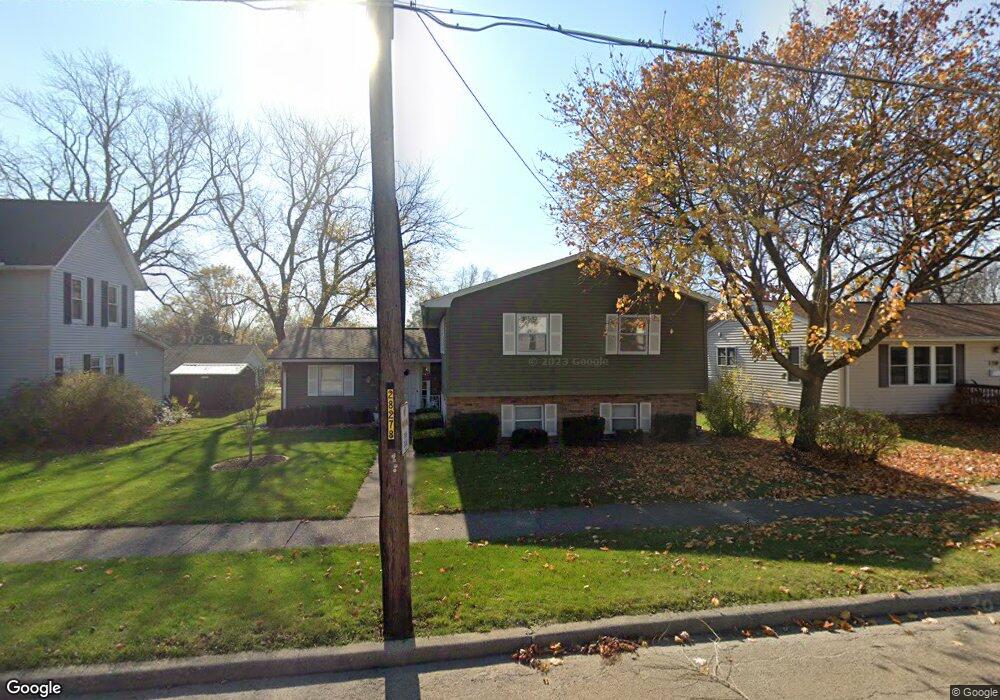
472 Clark St Marseilles, IL 61341
Estimated Value: $191,318 - $198,000
4
Beds
2
Baths
1,800
Sq Ft
$108/Sq Ft
Est. Value
About This Home
This home is located at 472 Clark St, Marseilles, IL 61341 and is currently estimated at $194,830, approximately $108 per square foot. 472 Clark St is a home located in LaSalle County with nearby schools including Marseilles Elementary School and Ottawa Township High School.
Ownership History
Date
Name
Owned For
Owner Type
Purchase Details
Closed on
Dec 14, 2011
Sold by
Robert J Truty Trust
Bought by
Haley Peter A and Haley Joy L
Current Estimated Value
Home Financials for this Owner
Home Financials are based on the most recent Mortgage that was taken out on this home.
Original Mortgage
$93,877
Outstanding Balance
$64,218
Interest Rate
4.01%
Mortgage Type
New Conventional
Estimated Equity
$130,612
Create a Home Valuation Report for This Property
The Home Valuation Report is an in-depth analysis detailing your home's value as well as a comparison with similar homes in the area
Home Values in the Area
Average Home Value in this Area
Purchase History
| Date | Buyer | Sale Price | Title Company |
|---|---|---|---|
| Haley Peter A | $92,000 | None Available |
Source: Public Records
Mortgage History
| Date | Status | Borrower | Loan Amount |
|---|---|---|---|
| Open | Haley Peter A | $93,877 |
Source: Public Records
Tax History Compared to Growth
Tax History
| Year | Tax Paid | Tax Assessment Tax Assessment Total Assessment is a certain percentage of the fair market value that is determined by local assessors to be the total taxable value of land and additions on the property. | Land | Improvement |
|---|---|---|---|---|
| 2024 | $3,448 | $46,470 | $4,735 | $41,735 |
| 2023 | $3,430 | $41,827 | $4,262 | $37,565 |
| 2022 | $3,649 | $40,230 | $4,818 | $35,412 |
| 2021 | $3,642 | $37,889 | $4,538 | $33,351 |
| 2020 | $3,448 | $36,492 | $4,371 | $32,121 |
| 2019 | $3,344 | $35,794 | $4,287 | $31,507 |
| 2018 | $3,412 | $34,945 | $4,185 | $30,760 |
| 2017 | $3,301 | $34,116 | $4,086 | $30,030 |
| 2016 | $3,205 | $33,563 | $4,020 | $29,543 |
| 2015 | $3,201 | $33,214 | $3,978 | $29,236 |
| 2012 | -- | $30,666 | $3,673 | $26,993 |
Source: Public Records
Map
Nearby Homes
- 414 W Bluff St
- 532 1st St
- 622 Clark St
- 827 Canal St
- 640 Rutland St
- 927 Clark St
- 330 E Bluff St
- 1019-1021 Bluff Place
- 1129 Rutland St
- 401 Scott St
- 1026 Catalpa St
- 1028 Catalpa St
- 454 Washington St
- 521 Broadway St
- 598 Illinois St
- 660 1st Ave
- 901-903 Colorado St
- 893-895 Colorado St
- 897-899 Colorado St
- 674 Oak Ct