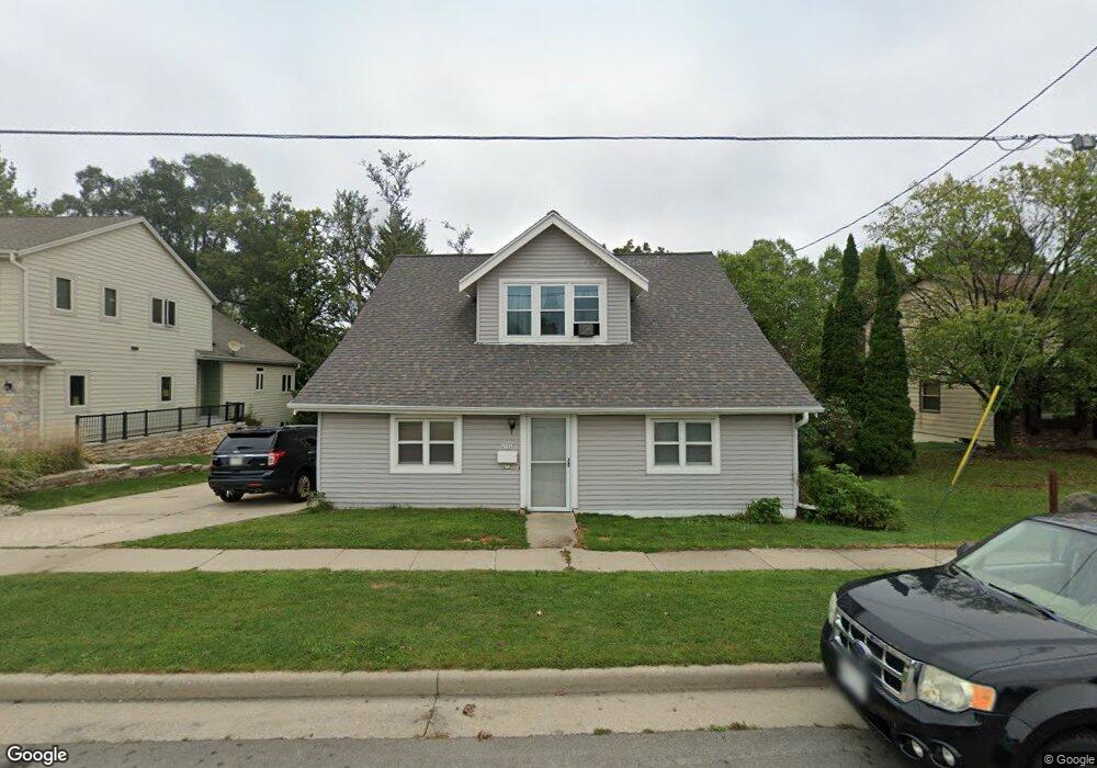
472 Cottonwood Ave Unit 472A Hartland, WI 53029
Estimated Value: $396,000 - $426,000
4
Beds
2
Baths
1,728
Sq Ft
$239/Sq Ft
Est. Value
About This Home
This home is located at 472 Cottonwood Ave Unit 472A, Hartland, WI 53029 and is currently estimated at $412,577, approximately $238 per square foot. 472 Cottonwood Ave Unit 472A is a home located in Waukesha County with nearby schools including Arrowhead High School, St Charles Parish School, and Zion Lutheran School.
Ownership History
Date
Name
Owned For
Owner Type
Purchase Details
Closed on
Nov 8, 2002
Sold by
Feisthammel Daniel A and Feisthammel Mary E
Bought by
Brandt Michael J and Brandt Tonia M
Current Estimated Value
Home Financials for this Owner
Home Financials are based on the most recent Mortgage that was taken out on this home.
Original Mortgage
$140,000
Interest Rate
6.01%
Mortgage Type
Purchase Money Mortgage
Create a Home Valuation Report for This Property
The Home Valuation Report is an in-depth analysis detailing your home's value as well as a comparison with similar homes in the area
Home Values in the Area
Average Home Value in this Area
Purchase History
| Date | Buyer | Sale Price | Title Company |
|---|---|---|---|
| Brandt Michael J | $175,000 | -- |
Source: Public Records
Mortgage History
| Date | Status | Borrower | Loan Amount |
|---|---|---|---|
| Previous Owner | Brandt Michael J | $140,000 |
Source: Public Records
Tax History Compared to Growth
Tax History
| Year | Tax Paid | Tax Assessment Tax Assessment Total Assessment is a certain percentage of the fair market value that is determined by local assessors to be the total taxable value of land and additions on the property. | Land | Improvement |
|---|---|---|---|---|
| 2024 | $3,481 | $318,600 | $74,800 | $243,800 |
| 2023 | $3,255 | $318,600 | $74,800 | $243,800 |
| 2022 | $2,894 | $223,100 | $62,900 | $160,200 |
| 2021 | $2,908 | $223,100 | $62,900 | $160,200 |
| 2020 | $2,912 | $223,100 | $62,900 | $160,200 |
| 2019 | $2,930 | $223,100 | $62,900 | $160,200 |
| 2018 | $2,955 | $195,900 | $61,700 | $134,200 |
| 2017 | $3,093 | $195,900 | $61,700 | $134,200 |
| 2016 | $3,202 | $195,900 | $61,700 | $134,200 |
| 2015 | $3,345 | $195,900 | $61,700 | $134,200 |
| 2014 | $3,289 | $195,900 | $61,700 | $134,200 |
| 2013 | $3,289 | $205,300 | $63,700 | $141,600 |
Source: Public Records
Map
Nearby Homes
- 222 Granary Cir
- 345 Cottonwood Ave
- 459 Sunset Trail Unit 2
- 732 River Reserve Dr
- 617 Coventry Ln
- Pcl2 Hill St
- 286 Hazel Ln
- 733 Cardiff Ct
- 3911 Campbell Trace
- 4821 Easy St Unit 8
- 1019 Wellington Way
- 310 Paradise Ct
- 809 Crescent Ln
- 120 Kestrel Way
- W305N5260 Gail Ln
- 447 Merton Ave
- W312N4890 Chapel Ridge Rd
- 508 Merton Ave
- N53W30509 Arrowhead Dr
- W289N4159 Farm Valley Ct
- 480 Cottonwood Ave Unit 482
- 460 Cottonwood Ave
- 454 Cottonwood Ave
- 490 Cottonwood Ave
- 446 Cottonwood Ave
- 440 Cottonwood Ave
- 510 Cottonwood Ave
- 434 Cottonwood Ave
- 520 Cottonwood Ave Unit 522
- 428 Cottonwood Ave
- 176 Granary Cir
- 530 Cottonwood Ave
- 182 Granary Cir
- 180 Granary Cir
- 184 Granary Cir
- 178 Granary Cir
- 420 Cottonwood Ave
- 415 Cottonwood Ave
- 412 Cottonwood Ave
- 197 Harvest Way