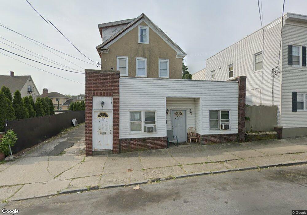
472 Ellendale Ave Port Chester, NY 10573
Estimated Value: $770,000 - $952,000
4
Beds
3
Baths
2,764
Sq Ft
$324/Sq Ft
Est. Value
About This Home
This home is located at 472 Ellendale Ave, Port Chester, NY 10573 and is currently estimated at $895,513, approximately $323 per square foot. 472 Ellendale Ave is a home located in Westchester County with nearby schools including Port Chester Middle School, Port Chester Senior High School, and Corpus Christi Holy Rosary School.
Ownership History
Date
Name
Owned For
Owner Type
Purchase Details
Closed on
Feb 22, 2000
Sold by
Labate Catherine
Bought by
Lanni John P
Current Estimated Value
Purchase Details
Closed on
Mar 16, 1998
Sold by
Lanni Carl
Bought by
Lanni John P
Create a Home Valuation Report for This Property
The Home Valuation Report is an in-depth analysis detailing your home's value as well as a comparison with similar homes in the area
Home Values in the Area
Average Home Value in this Area
Purchase History
| Date | Buyer | Sale Price | Title Company |
|---|---|---|---|
| Lanni John P | -- | -- | |
| Lanni John P | -- | Commonwealth Land Title Ins |
Source: Public Records
Tax History Compared to Growth
Tax History
| Year | Tax Paid | Tax Assessment Tax Assessment Total Assessment is a certain percentage of the fair market value that is determined by local assessors to be the total taxable value of land and additions on the property. | Land | Improvement |
|---|---|---|---|---|
| 2024 | $17,375 | $769,700 | $252,800 | $516,900 |
| 2023 | $16,802 | $726,100 | $240,800 | $485,300 |
| 2022 | $9,540 | $698,200 | $240,800 | $457,400 |
| 2021 | $10,338 | $388,900 | $240,800 | $148,100 |
| 2020 | $16,678 | $388,900 | $240,800 | $148,100 |
| 2019 | $19,023 | $489,100 | $240,500 | $248,600 |
| 2018 | $9,433 | $464,000 | $242,500 | $221,500 |
| 2017 | $1,940 | $456,100 | $211,200 | $244,900 |
| 2016 | $17,125 | $440,500 | $215,900 | $224,600 |
| 2015 | -- | $435,800 | $211,700 | $224,100 |
| 2014 | -- | $401,200 | $199,700 | $201,500 |
| 2013 | -- | $412,700 | $211,200 | $201,500 |
Source: Public Records
Map
Nearby Homes
- 420 W William St
- 24 Park Place
- 413 Franklin St
- 485 Westchester Ave
- 244 S Ridge St
- 35 Summit Ave Unit 3H
- 410 Westchester Ave Unit 202
- 370 Westchester Ave Unit 7P
- 360 Westchester Ave Unit 302
- 360 Westchester Ave Unit 223
- 395 Westchester Ave Unit 3A
- 395 Westchester Ave Unit LC
- 431 Irving Ave
- 96 Inwood Ave
- 377 Westchester Ave Unit 6C
- 377 Westchester Ave Unit 5N
- 130 Spring St
- 111 Spring St
- 22 Spring St
- 114 Washington St
- 474 Ellendale Ave
- 64 Merritt St
- 476 Ellendale Ave
- 76 Merritt St
- 469 Ellendale Ave
- 465 Ellendale Ave
- 483 Ellendale Ave
- 478 Ellendale Ave
- 471 Ellendale Ave
- 78 Merritt St
- 473 W William St
- 479 Ellendale Ave Unit 2
- 479 Ellendale Ave
- 86 Merritt St
- 475 W William St
- 471 W William St
- 71 Merritt St
- 11 Lyon St
- 9 Lyon St Unit 2
- 9 Lyon St Unit 3