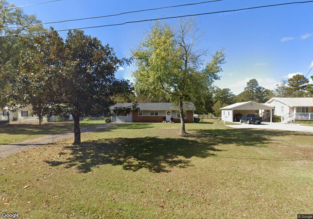
472 Fling Rd Lagrange, GA 30240
Estimated Value: $149,000 - $206,000
3
Beds
1
Bath
1,530
Sq Ft
$121/Sq Ft
Est. Value
About This Home
This home is located at 472 Fling Rd, Lagrange, GA 30240 and is currently estimated at $184,406, approximately $120 per square foot. 472 Fling Rd is a home located in Troup County with nearby schools including Berta Weathersbee Elementary School, Long Cane Elementary School, and Whitesville Road Elementary School.
Ownership History
Date
Name
Owned For
Owner Type
Purchase Details
Closed on
May 3, 2018
Sold by
Morman Jeffrey Clayton Tru
Bought by
472 Fling Road Llc
Current Estimated Value
Purchase Details
Closed on
Dec 21, 2012
Sold by
Gasaway Phillip W
Bought by
Morman Jeffrey Clayton and Gasaway Philip W
Purchase Details
Closed on
Sep 16, 1980
Sold by
Erma L Knight
Bought by
Gasaway Phillip W
Purchase Details
Closed on
Jan 1, 1974
Sold by
Loyd
Bought by
Erma L Knight
Purchase Details
Closed on
Jan 1, 1969
Sold by
Hester Hester and Hester Burdette
Bought by
Loyd
Purchase Details
Closed on
Jan 1, 1968
Sold by
Roy L Crane
Bought by
Hester Hester and Hester Burdette
Create a Home Valuation Report for This Property
The Home Valuation Report is an in-depth analysis detailing your home's value as well as a comparison with similar homes in the area
Home Values in the Area
Average Home Value in this Area
Purchase History
| Date | Buyer | Sale Price | Title Company |
|---|---|---|---|
| 472 Fling Road Llc | -- | -- | |
| Morman Jeffrey Clayton | -- | -- | |
| Gasaway Phillip W | -- | -- | |
| Erma L Knight | $22,800 | -- | |
| Loyd | -- | -- | |
| Hester Hester | $4,700 | -- |
Source: Public Records
Tax History Compared to Growth
Tax History
| Year | Tax Paid | Tax Assessment Tax Assessment Total Assessment is a certain percentage of the fair market value that is determined by local assessors to be the total taxable value of land and additions on the property. | Land | Improvement |
|---|---|---|---|---|
| 2024 | $1,313 | $48,132 | $10,000 | $38,132 |
| 2023 | $1,238 | $45,388 | $8,000 | $37,388 |
| 2022 | $1,218 | $43,628 | $8,000 | $35,628 |
| 2021 | $991 | $32,848 | $8,000 | $24,848 |
| 2020 | $951 | $32,848 | $8,000 | $24,848 |
| 2019 | $773 | $25,632 | $2,200 | $23,432 |
| 2018 | $709 | $23,504 | $2,200 | $21,304 |
| 2017 | $709 | $23,504 | $2,200 | $21,304 |
| 2016 | $688 | $22,806 | $2,224 | $20,582 |
| 2015 | $689 | $22,806 | $2,224 | $20,582 |
| 2014 | $657 | $21,723 | $2,224 | $19,499 |
| 2013 | -- | $23,445 | $2,224 | $21,221 |
Source: Public Records
Map
Nearby Homes
- 37 Overbrook Dr
- 509 Connie Dr
- 808 S Fling Rd
- 0 Bradfield Dr Unit 10568803
- 190 Hill Rd
- 124 Foxdale Dr
- 110 Hawthorne Cir
- 103 Hawthorne Cir
- 146 Whitaker Rd
- 141 Avery Dr
- 105 Hawthorne Cir
- 61 Freeman Rd
- 100 Huntcliff Ct
- 22 Freeman Rd
- 0 Unit 10514554
- 223 Pinehaven Dr
- 117 Brookwood Dr
- 135 Planters Ridge Dr
- LOT 4 Angela Dr
- E Angela Dr