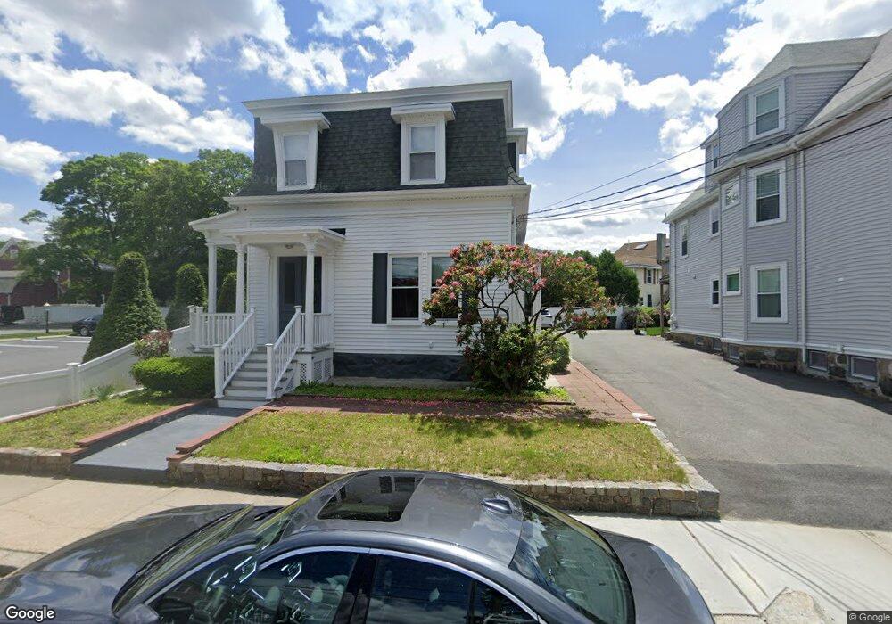
472 High St Unit 2 Dedham, MA 02026
Oakdale NeighborhoodEstimated Value: $842,000 - $912,000
3
Beds
1
Bath
1,000
Sq Ft
$886/Sq Ft
Est. Value
About This Home
This home is located at 472 High St Unit 2, Dedham, MA 02026 and is currently estimated at $885,941, approximately $885 per square foot. 472 High St Unit 2 is a home located in Norfolk County with nearby schools including Avery, Dedham Middle School, and Dedham High School.
Ownership History
Date
Name
Owned For
Owner Type
Purchase Details
Closed on
Jan 31, 2017
Sold by
Montissol Mickler and Montissol Marie
Bought by
Montissol Mickler and Montissol Marie
Current Estimated Value
Purchase Details
Closed on
Jun 26, 2015
Sold by
Kelly William F and Kelly Mary E
Bought by
Montissol Mickler and Montissol Marie
Home Financials for this Owner
Home Financials are based on the most recent Mortgage that was taken out on this home.
Original Mortgage
$371,387
Interest Rate
3.5%
Mortgage Type
FHA
Purchase Details
Closed on
Jul 6, 1998
Sold by
Kelly Exr William F
Bought by
Kelly William F and Kelly Mary E
Home Financials for this Owner
Home Financials are based on the most recent Mortgage that was taken out on this home.
Original Mortgage
$82,000
Interest Rate
7.04%
Mortgage Type
Purchase Money Mortgage
Create a Home Valuation Report for This Property
The Home Valuation Report is an in-depth analysis detailing your home's value as well as a comparison with similar homes in the area
Home Values in the Area
Average Home Value in this Area
Purchase History
| Date | Buyer | Sale Price | Title Company |
|---|---|---|---|
| Montissol Mickler | -- | -- | |
| Montissol Mickler | $405,000 | -- | |
| Kelly William F | $157,826 | -- |
Source: Public Records
Mortgage History
| Date | Status | Borrower | Loan Amount |
|---|---|---|---|
| Previous Owner | Montissol Mickler | $371,387 | |
| Previous Owner | Kelly William F | $82,000 |
Source: Public Records
Tax History
| Year | Tax Paid | Tax Assessment Tax Assessment Total Assessment is a certain percentage of the fair market value that is determined by local assessors to be the total taxable value of land and additions on the property. | Land | Improvement |
|---|---|---|---|---|
| 2025 | $10,366 | $821,400 | $310,500 | $510,900 |
| 2024 | $9,661 | $772,900 | $281,700 | $491,200 |
| 2023 | $9,138 | $711,700 | $255,100 | $456,600 |
| 2022 | $8,447 | $632,700 | $239,600 | $393,100 |
| 2021 | $8,157 | $596,700 | $221,800 | $374,900 |
| 2020 | $7,781 | $567,100 | $221,800 | $345,300 |
| 2019 | $7,308 | $516,500 | $192,900 | $323,600 |
| 2018 | $7,032 | $483,300 | $171,900 | $311,400 |
| 2017 | $5,836 | $395,400 | $160,900 | $234,500 |
| 2016 | $5,939 | $383,400 | $148,900 | $234,500 |
| 2015 | $5,940 | $374,300 | $138,700 | $235,600 |
| 2014 | -- | $379,300 | $136,200 | $243,100 |
Source: Public Records
Map
Nearby Homes
- 442 High St
- 42 Churchill Place
- 28 Linden Place
- 56 Mount Vernon St
- 92 Old River Place
- 441 Washington St Unit 301
- 441 Washington St Unit 302
- 46 Church St
- 55 Church St Unit 1
- 44 Court St
- 58 Jersey St
- 46 Park St
- 111 Schiller Rd
- 47 Village Ave Unit 203
- 600 East St
- 108 High St
- 4 Mount Hope St
- 8 Sumner St
- 90 High St Unit 309
- 30 High St ( Cass St Entrance) Unit 209
- 472 High St
- 472 High St Unit 1
- 474 High St
- 474 High St Unit 2
- 474 High St Unit 1
- 464 High St
- 464 High St Unit 2
- 464 High St
- 464 High St Unit 1
- 3 Churchill Place
- 2 Churchill Place
- 1 Churchill Place
- 476 High St
- 478 High St
- 478 High St Unit 1
- 478 High St Unit 2
- 465 High St
- 465 High St Unit 1
- 465 High St Unit 2
- 370 East St
Your Personal Tour Guide
Ask me questions while you tour the home.