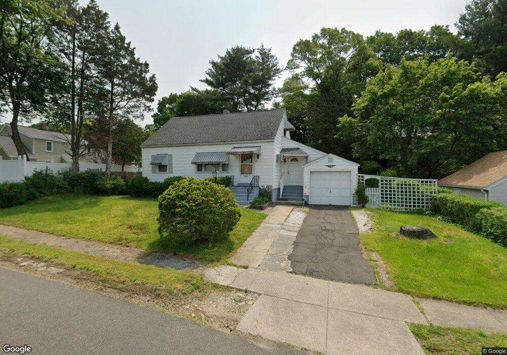
472 Hooker Rd Bridgeport, CT 06610
North Bridgeport NeighborhoodEstimated Value: $357,996 - $370,000
3
Beds
1
Bath
1,152
Sq Ft
$315/Sq Ft
Est. Value
About This Home
This home is located at 472 Hooker Rd, Bridgeport, CT 06610 and is currently estimated at $362,499, approximately $314 per square foot. 472 Hooker Rd is a home located in Fairfield County with nearby schools including Hooker School and Harding High School.
Ownership History
Date
Name
Owned For
Owner Type
Purchase Details
Closed on
Mar 12, 2001
Sold by
Proto Frank and Proto Emilia
Bought by
Kisken Eugene J
Current Estimated Value
Home Financials for this Owner
Home Financials are based on the most recent Mortgage that was taken out on this home.
Original Mortgage
$68,000
Interest Rate
7.15%
Purchase Details
Closed on
Oct 24, 1995
Sold by
Ogrowski Helen
Bought by
Porto Frank and Proto Emila
Create a Home Valuation Report for This Property
The Home Valuation Report is an in-depth analysis detailing your home's value as well as a comparison with similar homes in the area
Home Values in the Area
Average Home Value in this Area
Purchase History
| Date | Buyer | Sale Price | Title Company |
|---|---|---|---|
| Kisken Eugene J | $136,000 | -- | |
| Kisken Eugene J | $136,000 | -- | |
| Porto Frank | $93,000 | -- | |
| Porto Frank | $93,000 | -- |
Source: Public Records
Mortgage History
| Date | Status | Borrower | Loan Amount |
|---|---|---|---|
| Closed | Porto Frank | $55,000 | |
| Closed | Porto Frank | $68,000 |
Source: Public Records
Tax History
| Year | Tax Paid | Tax Assessment Tax Assessment Total Assessment is a certain percentage of the fair market value that is determined by local assessors to be the total taxable value of land and additions on the property. | Land | Improvement |
|---|---|---|---|---|
| 2025 | $5,838 | $134,370 | $70,960 | $63,410 |
| 2024 | $5,838 | $134,370 | $70,960 | $63,410 |
| 2023 | $5,838 | $134,370 | $70,960 | $63,410 |
| 2022 | $5,838 | $134,370 | $70,960 | $63,410 |
| 2021 | $5,838 | $134,370 | $70,960 | $63,410 |
| 2020 | $6,060 | $112,250 | $58,210 | $54,040 |
| 2019 | $6,060 | $112,250 | $58,210 | $54,040 |
| 2018 | $6,103 | $112,250 | $58,210 | $54,040 |
| 2017 | $6,103 | $112,250 | $58,210 | $54,040 |
| 2016 | $6,103 | $112,250 | $58,210 | $54,040 |
| 2015 | $5,773 | $136,790 | $56,840 | $79,950 |
| 2014 | $5,773 | $136,790 | $56,840 | $79,950 |
Source: Public Records
Map
Nearby Homes
- 3699 Broadbridge Ave Unit 330
- 3699 Broadbridge Ave Unit 101
- 11 Knollcrest Dr
- 119 Jennings Ave
- 120 Huntington Turnpike Unit 202
- 285 Hillcrest Rd
- 250 Dayton Rd
- 60 Quail Trail
- 132 Virginia Ave Unit 132
- 211 Louisiana Ave Unit D
- 207 Hillcrest Rd
- 11 Nob Hill Cir
- 186 Louisiana Ave Unit D
- 2322 Nichols Ave
- 9 Sunnyridge Pkwy
- 261 Pennsylvania Ave
- 154 Virginia Ave Unit B
- 156 Dayton Rd
- 72 Broadmere Rd
- 33 Louisiana Ave Unit 35
- 456 Hooker Rd
- 600 Broadbridge Rd
- 444 Hooker Rd
- 73 Alameda Place
- 61 Alameda Place
- 570 Broadbridge Rd
- 495 Hooker Rd
- 471 Hooker Rd
- 430 Hooker Rd
- 459 Hooker Rd
- 445 Hooker Rd
- 95 Alameda Place
- 33 Alameda Place
- 429 Hooker Rd
- 45 Alameda Place
- 410 Hooker Rd
- 89 Lynne Place
- 602 Broadbridge Rd
- 105 Lynne Place
- 20 Holland Rd
Your Personal Tour Guide
Ask me questions while you tour the home.