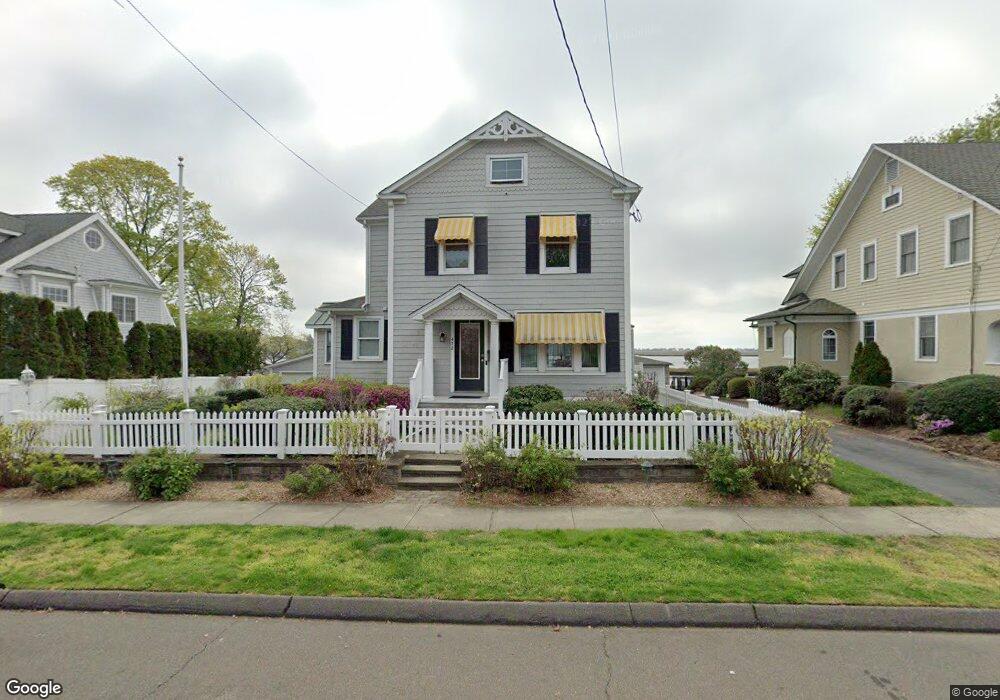
472 Housatonic Ave Stratford, CT 06615
Stratford Center Historic District NeighborhoodEstimated Value: $657,995 - $842,000
3
Beds
3
Baths
1,984
Sq Ft
$361/Sq Ft
Est. Value
About This Home
This home is located at 472 Housatonic Ave, Stratford, CT 06615 and is currently estimated at $716,499, approximately $361 per square foot. 472 Housatonic Ave is a home located in Fairfield County with nearby schools including Stratford Academy - Johnson House, David Wooster Middle School, and Stratford High School.
Ownership History
Date
Name
Owned For
Owner Type
Purchase Details
Closed on
Nov 9, 2004
Sold by
Mason Joseph
Bought by
Qualman Gene and Qualman Sarah
Current Estimated Value
Purchase Details
Closed on
Feb 15, 2000
Sold by
Macdougal Joan
Bought by
Mason Jos L
Create a Home Valuation Report for This Property
The Home Valuation Report is an in-depth analysis detailing your home's value as well as a comparison with similar homes in the area
Home Values in the Area
Average Home Value in this Area
Purchase History
| Date | Buyer | Sale Price | Title Company |
|---|---|---|---|
| Qualman Gene | $855,000 | -- | |
| Mason Jos L | $257,500 | -- |
Source: Public Records
Mortgage History
| Date | Status | Borrower | Loan Amount |
|---|---|---|---|
| Open | Mason Jos L | $264,200 | |
| Closed | Mason Jos L | $283,702 | |
| Closed | Mason Jos L | $300,000 |
Source: Public Records
Tax History Compared to Growth
Tax History
| Year | Tax Paid | Tax Assessment Tax Assessment Total Assessment is a certain percentage of the fair market value that is determined by local assessors to be the total taxable value of land and additions on the property. | Land | Improvement |
|---|---|---|---|---|
| 2025 | $11,223 | $279,170 | $141,130 | $138,040 |
| 2024 | $11,223 | $279,170 | $141,130 | $138,040 |
| 2023 | $11,223 | $279,170 | $141,130 | $138,040 |
| 2022 | $11,016 | $279,170 | $141,130 | $138,040 |
| 2021 | $11,019 | $279,170 | $141,130 | $138,040 |
| 2020 | $11,066 | $279,170 | $141,130 | $138,040 |
| 2019 | $12,038 | $301,940 | $164,530 | $137,410 |
| 2018 | $12,047 | $301,940 | $164,530 | $137,410 |
| 2017 | $12,069 | $301,940 | $164,530 | $137,410 |
| 2016 | $11,773 | $301,940 | $164,530 | $137,410 |
| 2015 | $11,166 | $301,940 | $164,530 | $137,410 |
| 2014 | $14,041 | $394,070 | $250,640 | $143,430 |
Source: Public Records
Map
Nearby Homes
- 156 Blakeman Place
- 77 Berkeley Terrace
- 58 Berkeley Terrace
- 48 Hubbell Place
- 58 Academy Hill Terrace
- 753 Stratford Ave
- 295 Housatonic Dr
- 93 S Woodland Dr
- 169 Laughlin Rd E
- 12 Woodland Dr
- 148 Hurd Ave
- 18 Eastern Pkwy
- 10 Eastern Pkwy
- 5 Lindsley Place
- 1867 Main St
- 515 Wilcoxson Ave
- 525 Wilcoxson Ave
- 21 Ormond St
- 114 Terrill Rd
- Dewey Ave
- 492 Housatonic Ave
- 462 Housatonic Ave
- 498 Housatonic Ave
- 448 Housatonic Ave
- 508 Housatonic Ave
- 471 Housatonic Ave
- 434 Housatonic Ave
- 481 Housatonic Ave
- 489 Housatonic Ave
- 125 Homestead Ave
- 501 Housatonic Ave
- 422 Housatonic Ave
- 509 Housatonic Ave
- 429 Housatonic Ave
- 515 Housatonic Ave
- 550 Housatonic Ave
- 109 Homestead Ave
- 96 Minor Ave
- 93 Homestead Ave
- 108 Homestead Ave