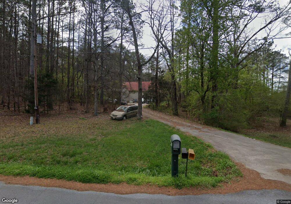
472 Lovvorn Rd Cedartown, GA 30125
Estimated Value: $293,000 - $453,434
3
Beds
3
Baths
2,228
Sq Ft
$157/Sq Ft
Est. Value
About This Home
This home is located at 472 Lovvorn Rd, Cedartown, GA 30125 and is currently estimated at $350,609, approximately $157 per square foot. 472 Lovvorn Rd is a home located in Polk County with nearby schools including Cedar Christian School.
Ownership History
Date
Name
Owned For
Owner Type
Purchase Details
Closed on
Apr 16, 1977
Sold by
Grogan Kirby G
Bought by
Dickert William E
Current Estimated Value
Purchase Details
Closed on
Dec 28, 1976
Sold by
Grimes Billy L
Bought by
Grogan Kirby G
Purchase Details
Closed on
Jul 19, 1976
Sold by
Knight Joel D
Bought by
Grimes Billy L
Purchase Details
Closed on
Sep 19, 1969
Sold by
Williams Alice L Mrs
Bought by
Knight Joel D
Purchase Details
Closed on
Aug 25, 1967
Bought by
Williams Alice L Mrs
Create a Home Valuation Report for This Property
The Home Valuation Report is an in-depth analysis detailing your home's value as well as a comparison with similar homes in the area
Home Values in the Area
Average Home Value in this Area
Purchase History
| Date | Buyer | Sale Price | Title Company |
|---|---|---|---|
| Dickert William E | -- | -- | |
| Grogan Kirby G | -- | -- | |
| Grimes Billy L | -- | -- | |
| Knight Joel D | -- | -- | |
| Williams Alice L Mrs | -- | -- |
Source: Public Records
Tax History Compared to Growth
Tax History
| Year | Tax Paid | Tax Assessment Tax Assessment Total Assessment is a certain percentage of the fair market value that is determined by local assessors to be the total taxable value of land and additions on the property. | Land | Improvement |
|---|---|---|---|---|
| 2024 | $2,837 | $150,442 | $27,297 | $123,145 |
| 2023 | $2,218 | $106,858 | $27,297 | $79,561 |
| 2022 | $1,743 | $86,847 | $18,198 | $68,649 |
| 2021 | $1,766 | $86,847 | $18,198 | $68,649 |
| 2020 | $1,769 | $86,847 | $18,198 | $68,649 |
| 2019 | $1,786 | $79,833 | $18,198 | $61,635 |
| 2018 | $1,726 | $75,974 | $18,198 | $57,776 |
| 2017 | $1,700 | $75,974 | $18,198 | $57,776 |
| 2016 | $1,987 | $86,533 | $28,757 | $57,776 |
| 2015 | $2,020 | $87,625 | $28,757 | $58,868 |
| 2014 | $2,031 | $87,625 | $28,757 | $58,868 |
Source: Public Records
Map
Nearby Homes
- 766 Antioch Rd
- 0 Coaling Rd Unit 9221-D 10352096
- 0 Coaling Rd Unit 9221-C 10352086
- 0 Coaling Rd Unit 9221 10352063
- 0 Coaling Rd Unit 9221-B 10352079
- 480 Cason Rd
- 205 Pinecrest Rd
- 203 Cason Rd
- 117 Cason Rd
- 255 Mildred Dr
- 35 Old Mill Rd
- 160 Tate Rd
- 00 Juliette St
- 1987 Buchanan Hwy
- 0 Philpot Springs Unit 10626665
- 00 Buchanan Hwy
- 209 Ridgewood Rd
- 728 Hutto Rd
- 95 Wieuca Way
- 202 Ridgewood Rd
- 462 Lovvorn Rd
- 531 Lovvorn Rd
- 600 Lovvorn Rd
- 426 Lovvorn Rd
- 357 Lovvorn Rd
- 397 Lovvorn Rd
- 182 Coleman Rd
- 165 Coleman Rd
- 437 Lovvorn Rd
- 620 Lovvorn Rd
- 221 Lovvorn Rd
- 1836 Lees Chapel Rd
- 669 Lovvorn Rd
- 1858 Lees Chapel Rd
- 1696 Lees Chapel Rd
- 670 Lovvorn Rd
- 311 Lovvorn Rd
- 1750 Lees Chapel Rd
- 1835 Lees Chapel Rd
- 217 Coleman Rd