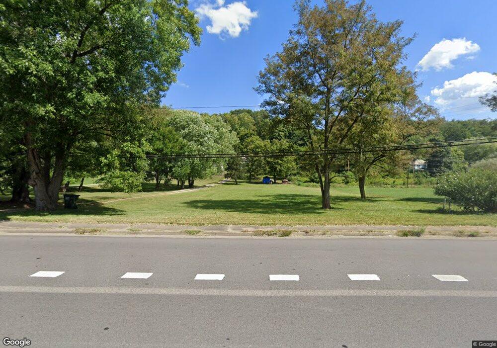
472 Muskingum Dr Marietta, OH 45750
Estimated Value: $213,000 - $266,000
3
Beds
2
Baths
1,820
Sq Ft
$133/Sq Ft
Est. Value
About This Home
This home is located at 472 Muskingum Dr, Marietta, OH 45750 and is currently estimated at $241,273, approximately $132 per square foot. 472 Muskingum Dr is a home located in Washington County with nearby schools including Marietta High School, St. Mary Catholic School, and Marietta Christian School.
Ownership History
Date
Name
Owned For
Owner Type
Purchase Details
Closed on
Sep 3, 2010
Sold by
Sylvester Jessia
Bought by
Rodgers Michael S
Current Estimated Value
Home Financials for this Owner
Home Financials are based on the most recent Mortgage that was taken out on this home.
Original Mortgage
$110,511
Outstanding Balance
$73,159
Interest Rate
4.49%
Mortgage Type
FHA
Estimated Equity
$168,114
Purchase Details
Closed on
Apr 12, 2006
Sold by
Medley Rick J and Medley Michelle Z
Bought by
Sylvester Jessica
Home Financials for this Owner
Home Financials are based on the most recent Mortgage that was taken out on this home.
Original Mortgage
$87,624
Interest Rate
6.34%
Mortgage Type
FHA
Purchase Details
Closed on
Dec 21, 2004
Bought by
Medley Rick J and Medley Michelle
Purchase Details
Closed on
Dec 2, 1997
Bought by
Bowersock Cindy
Create a Home Valuation Report for This Property
The Home Valuation Report is an in-depth analysis detailing your home's value as well as a comparison with similar homes in the area
Home Values in the Area
Average Home Value in this Area
Purchase History
| Date | Buyer | Sale Price | Title Company |
|---|---|---|---|
| Rodgers Michael S | $112,000 | Attorney | |
| Sylvester Jessica | $89,000 | Title First Marietta | |
| Medley Rick J | $24,000 | -- | |
| Bowersock Cindy | $55,000 | -- |
Source: Public Records
Mortgage History
| Date | Status | Borrower | Loan Amount |
|---|---|---|---|
| Open | Rodgers Michael S | $110,511 | |
| Previous Owner | Sylvester Jessica | $87,624 |
Source: Public Records
Tax History Compared to Growth
Tax History
| Year | Tax Paid | Tax Assessment Tax Assessment Total Assessment is a certain percentage of the fair market value that is determined by local assessors to be the total taxable value of land and additions on the property. | Land | Improvement |
|---|---|---|---|---|
| 2024 | $2,141 | $58,370 | $13,650 | $44,720 |
| 2023 | $2,141 | $58,370 | $13,650 | $44,720 |
| 2022 | $2,124 | $58,370 | $13,650 | $44,720 |
| 2021 | $1,614 | $41,570 | $10,690 | $30,880 |
| 2020 | $1,616 | $41,570 | $10,690 | $30,880 |
| 2019 | $1,619 | $41,570 | $10,690 | $30,880 |
| 2018 | $1,457 | $36,190 | $8,900 | $27,290 |
| 2017 | $1,454 | $36,190 | $8,900 | $27,290 |
| 2016 | $1,451 | $36,190 | $8,900 | $27,290 |
| 2015 | $1,388 | $33,070 | $8,530 | $24,540 |
| 2014 | $2,258 | $33,070 | $8,530 | $24,540 |
| 2013 | $691 | $33,070 | $8,530 | $24,540 |
Source: Public Records
Map
Nearby Homes
- 111 Hanson Dr
- 332 Muskingum Dr
- 132 Mound Dr
- 315 Muskingum Dr
- 520 Millgate Rd
- 0 Academy Dr
- 105 Woodcrest Dr
- 120 Woodcrest Dr
- 1099 Colegate Dr
- 1 Hickory Ln
- 120 Meadow Ln
- 107 Strecker Hill
- 8 Mountain Laurel Dr
- 6 Mountain Laurel Dr
- 5 Mountain Laurel Dr
- 3 Mountain Laurel Dr
- 0 Mountain Laurel Dr
- 904 Garfield Ave
- 107 Country Meadow Dr
- 817 5th St
- 478 Muskingum Dr
- 488 State Route 60
- 466 State Route 60
- 460 Muskingum Dr
- 452 Muskingum Dr
- 490 State Route 60 St
- 489 Muskingum Dr
- 448 State Route 60
- 494 Muskingum Dr
- 0 State Route 821 Unit M238065
- 0 State Route 821 Unit M238066
- 498 Muskingum Dr
- 498 Muskingum Dr
- 442 Muskingum Dr
- 448 Muskingum Dr
- 438 Muskingum Dr
- 92 State Route 821
- 434 Muskingum Dr
- 0 State Route 60 Unit 3943119
- 0 State Route 60 Unit 4353052
