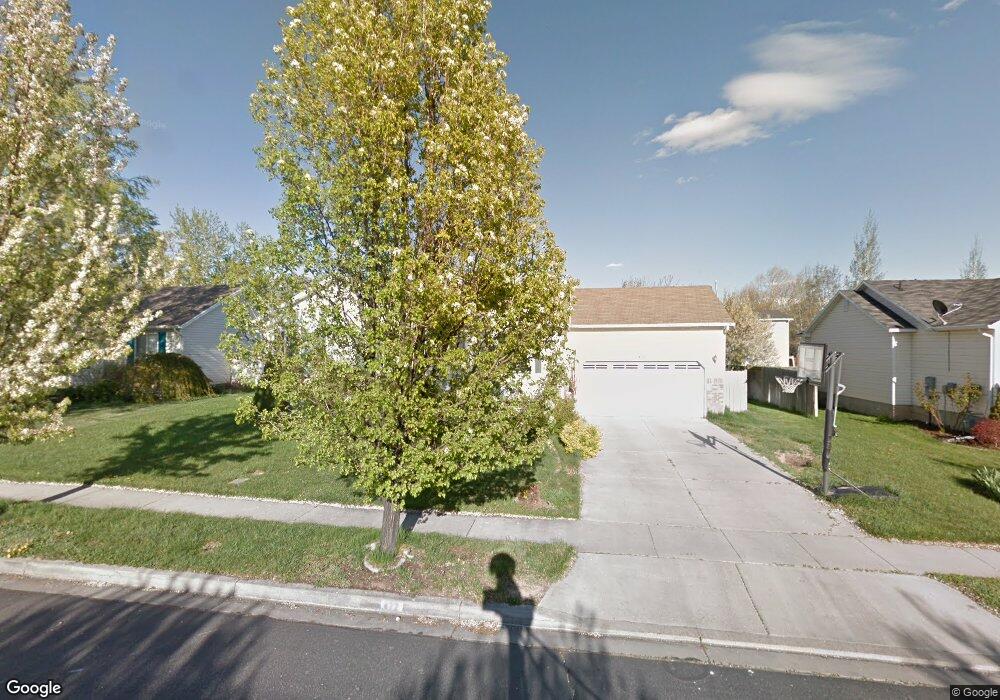
472 N 680 W American Fork, UT 84003
Estimated Value: $526,000 - $579,000
5
Beds
3
Baths
2,060
Sq Ft
$271/Sq Ft
Est. Value
About This Home
This home is located at 472 N 680 W, American Fork, UT 84003 and is currently estimated at $557,411, approximately $270 per square foot. 472 N 680 W is a home located in Utah County with nearby schools including Shelley Elementary School, American Fork Junior High School, and American Fork High School.
Ownership History
Date
Name
Owned For
Owner Type
Purchase Details
Closed on
Feb 15, 2006
Sold by
Matishen Andrew W and Matishen Vera J
Bought by
Marini Timothy C and Marini Rachel Y
Current Estimated Value
Home Financials for this Owner
Home Financials are based on the most recent Mortgage that was taken out on this home.
Original Mortgage
$40,780
Interest Rate
5.61%
Mortgage Type
Stand Alone Second
Purchase Details
Closed on
Nov 1, 1999
Sold by
D R Horton Inc
Bought by
Matishen Andrew W and Matishen Vera J
Home Financials for this Owner
Home Financials are based on the most recent Mortgage that was taken out on this home.
Original Mortgage
$122,600
Interest Rate
7.82%
Create a Home Valuation Report for This Property
The Home Valuation Report is an in-depth analysis detailing your home's value as well as a comparison with similar homes in the area
Home Values in the Area
Average Home Value in this Area
Purchase History
| Date | Buyer | Sale Price | Title Company |
|---|---|---|---|
| Marini Timothy C | -- | 1St National Title Insuranc | |
| Matishen Andrew W | -- | First American Title Ins Co |
Source: Public Records
Mortgage History
| Date | Status | Borrower | Loan Amount |
|---|---|---|---|
| Closed | Marini Timothy C | $40,780 | |
| Open | Marini Timothy C | $163,120 | |
| Previous Owner | Matishen Andrew W | $122,600 |
Source: Public Records
Tax History Compared to Growth
Tax History
| Year | Tax Paid | Tax Assessment Tax Assessment Total Assessment is a certain percentage of the fair market value that is determined by local assessors to be the total taxable value of land and additions on the property. | Land | Improvement |
|---|---|---|---|---|
| 2025 | $2,349 | $285,450 | $215,100 | $303,900 |
| 2024 | $2,349 | $261,030 | $0 | $0 |
| 2023 | $2,197 | $258,775 | $0 | $0 |
| 2022 | $2,330 | $270,820 | $0 | $0 |
| 2021 | $1,994 | $362,100 | $154,300 | $207,800 |
| 2020 | $1,865 | $328,400 | $137,800 | $190,600 |
| 2019 | $1,672 | $304,500 | $127,500 | $177,000 |
| 2018 | $1,599 | $278,400 | $120,600 | $157,800 |
| 2017 | $1,475 | $138,655 | $0 | $0 |
| 2016 | $1,450 | $126,665 | $0 | $0 |
| 2015 | $1,402 | $116,215 | $0 | $0 |
| 2014 | $1,333 | $108,955 | $0 | $0 |
Source: Public Records
Map
Nearby Homes
- 777 W State Rd
- 962 N 780 St W Unit 508
- 974 N 780 St W Unit 509
- 916 N 780 St W Unit 501
- 356 N 480 W
- 641 N 420 W
- 822 W 800 St N Unit LOT319
- 822 N 860 W Unit 317
- 540 N 300 W
- 602 W 860 N
- 370 W Pacific Dr Unit 1
- 120 N 350 W Unit 127
- 120 N 350 W Unit 133
- 120 N 350 W Unit 130
- 914 N 400 W Unit A
- 901 N Lakota Rd
- 3935 W 1000 N Unit 438
- 3983 W 1000 N Unit 442
- 4007 W 1000 N
- 3947 W 1000 N Unit 439