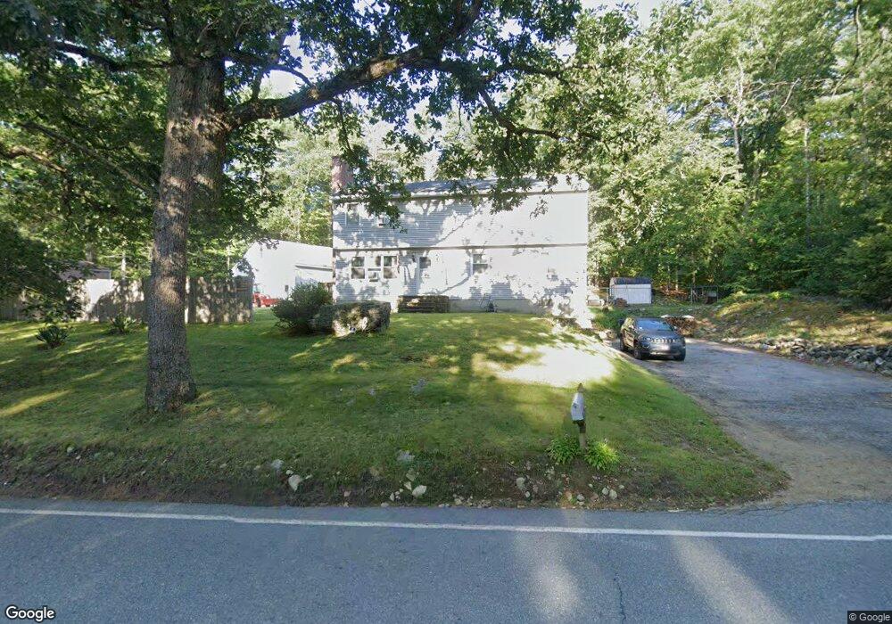
472 N Brookfield Rd Oakham, MA 01068
Oakham AreaEstimated Value: $429,000 - $487,000
About This Home
This home is located at 472 N Brookfield Rd, Oakham, MA 01068 and is currently estimated at $448,947, approximately $200 per square foot. 472 N Brookfield Rd is a home located in Worcester County with nearby schools including Quabbin Regional Middle School and Quabbin Regional High School.
Ownership History
We collect this data history from publicly available records. To have your information removed, we recommend requesting removal directly through your county’s website.
Purchase Details
Home Values in the Area
Average Home Value in this Area
Purchase History
We collect this data history from publicly available records. To have your information removed, we recommend requesting removal directly through your county’s website.
| Date | Buyer | Sale Price | Title Company |
|---|---|---|---|
| $88,500 | -- |
Mortgage History
We collect this data history from publicly available records. To have your information removed, we recommend requesting removal directly through your county’s website.
| Date | Status | Borrower | Loan Amount |
|---|---|---|---|
| Open | $25,000 | ||
| Open | $78,604 | ||
| Closed | $88,470 |
Tax History
We collect this data history from publicly available records. To have your information removed, we recommend requesting removal directly through your county’s website.
| Year | Tax Paid | Tax Assessment Tax Assessment Total Assessment is a certain percentage of the fair market value that is determined by local assessors to be the total taxable value of land and additions on the property. | Land | Improvement |
|---|---|---|---|---|
| 2025 | $3,709 | $321,100 | $127,000 | $194,100 |
| 2024 | $3,497 | $315,600 | $124,500 | $191,100 |
| 2023 | $3,302 | $285,400 | $109,200 | $176,200 |
| 2022 | $3,204 | $251,900 | $94,900 | $157,000 |
| 2021 | $3,087 | $237,100 | $92,200 | $144,900 |
| 2020 | $3,256 | $240,300 | $89,100 | $151,200 |
| 2019 | $3,337 | $230,000 | $83,700 | $146,300 |
| 2018 | $3,206 | $210,900 | $72,800 | $138,100 |
| 2017 | $2,916 | $204,600 | $72,800 | $131,800 |
| 2016 | $2,763 | $198,800 | $70,000 | $128,800 |
| 2015 | $2,720 | $198,800 | $70,000 | $128,800 |
| 2014 | $2,576 | $198,800 | $70,000 | $128,800 |
Map
- 171 Farm Pond Rd
- 260-A Hunt
- 499 Ware Corner Rd
- 720 E Hill Rd
- 357 Barre Rd
- 775 E Hill Rd
- 1310 N Brookfield Rd
- 622 Spencer Rd
- 283 Adams Rd
- 248 Pleasantdale Rd
- 184 Pleasantdale Rd
- Lot 2 Barrack Hill Rd
- 46 Prospect St
- 345 Pleasantdale Rd
- 16 Flint Rd
- 201 Integrity Dr Unit 89
- 206 Integrity Dr Unit 86
- 203 Integrity Dr Unit 90
- 4 Fidelity Dr Unit 2
- 208 Integrity Dr Unit 85
- 00 Crawford Rd
- 0 Crawford Rd Unit 71068403
- 1 Crawford Rd
- 479 N Brookfield Rd
- 455 N Brookfield Rd
- 438 N Brookfield Rd
- 28 Crawford Rd
- 426 N Brookfield Rd
- 425 N Brookfield Rd
- 541 N Brookfield Rd
- Lot Coldbrook Rd
- 392 N Brookfield Rd
- 391 N Brookfield Rd
- 384 N Brookfield Rd
- 84 Crawford Rd
- 59 Crawford Rd
- 91 Crawford Rd
- 581 N Brookfield Rd
- Lot 10 Forest Hill
- Lot 9 Forest Hill
Ask me questions while you tour the home.