472 Ravencrest Ln Unit 48 Westland, MI 48185
Estimated Value: $238,000 - $284,000
--
Bed
3
Baths
1,451
Sq Ft
$181/Sq Ft
Est. Value
About This Home
This home is located at 472 Ravencrest Ln Unit 48, Westland, MI 48185 and is currently estimated at $262,810, approximately $181 per square foot. 472 Ravencrest Ln Unit 48 is a home located in Wayne County with nearby schools including Wildwood Elementary School, Marshall Upper Elementary School, and Adlai Stevenson Middle School.
Ownership History
Date
Name
Owned For
Owner Type
Purchase Details
Closed on
May 23, 2007
Sold by
Richards George W and Richards Theresa F
Bought by
Wyatt Ladawn R
Current Estimated Value
Create a Home Valuation Report for This Property
The Home Valuation Report is an in-depth analysis detailing your home's value as well as a comparison with similar homes in the area
Home Values in the Area
Average Home Value in this Area
Purchase History
| Date | Buyer | Sale Price | Title Company |
|---|---|---|---|
| Wyatt Ladawn R | $160,000 | Metropolitan Title Company |
Source: Public Records
Tax History Compared to Growth
Tax History
| Year | Tax Paid | Tax Assessment Tax Assessment Total Assessment is a certain percentage of the fair market value that is determined by local assessors to be the total taxable value of land and additions on the property. | Land | Improvement |
|---|---|---|---|---|
| 2025 | $2,380 | $122,700 | $0 | $0 |
| 2024 | $2,380 | $109,400 | $0 | $0 |
| 2023 | $2,273 | $96,900 | $0 | $0 |
| 2022 | $2,573 | $89,800 | $0 | $0 |
| 2021 | $2,508 | $86,300 | $0 | $0 |
| 2020 | $2,482 | $81,800 | $0 | $0 |
| 2019 | $2,392 | $75,100 | $0 | $0 |
| 2018 | $1,835 | $64,900 | $0 | $0 |
| 2017 | $740 | $63,300 | $0 | $0 |
| 2016 | $2,279 | $60,800 | $0 | $0 |
| 2015 | $4,543 | $54,830 | $0 | $0 |
| 2013 | $4,401 | $46,190 | $0 | $0 |
| 2012 | $2,045 | $44,570 | $0 | $0 |
Source: Public Records
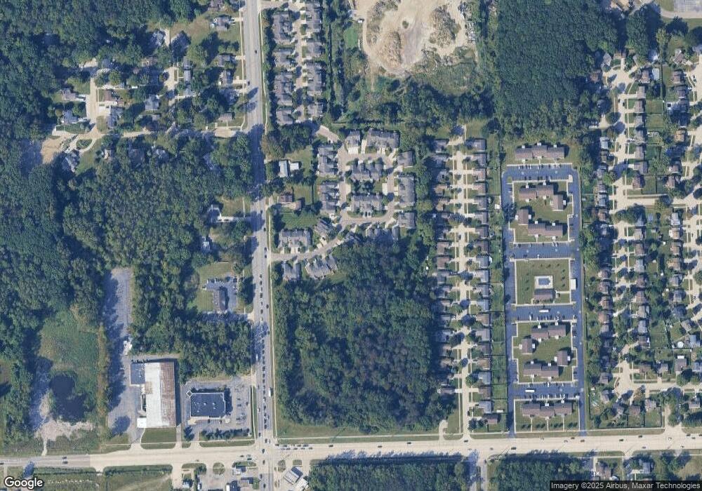
Map
Nearby Homes
- 977 N Newburgh Rd
- 37575 Barkridge Cir Unit 54
- 540 Dartmouth Crescent Ct
- 404 N Sybald St
- 38074 Hixford Place
- 38122 Hixford Place
- 336 Marigold Cir Unit 45
- 284 Marigold Cir Unit 17
- 38030 Greenwood St
- 788 N Linville St
- 38066 Sherwood St
- 511 S Bryar St
- 1750 N Hix Rd
- 38201 Carolon Blvd Unit 17B
- 36034 Rolf St
- 639 N Harvey St
- 38386 Maes St
- 127 S John Hix St
- 5692 N Globe St
- 38343 Carolon Blvd
- 460 Ravencrest Ln Unit 49
- 429 Ravencrest Ln
- 429 Ravencrest Ln Unit 58
- 453 Ravencrest Ln
- 417 Ravencrest Ln Unit 57
- 448 Ravencrest Ln Unit 50
- 441 Ravencrest Ln Unit 59
- 36996 Condor Ct
- 405 Ravencrest Ln
- 405 Ravencrest Ln Unit 56
- 37008 Condor Ct Unit 45
- 37020 Condor Ct Unit 44
- 477 Ravencrest Ln Unit 62
- 484 Ravencrest Ln Unit 47
- 36977 Condor Ct
- 436 Ravencrest Ln
- 37032 Condor Ct Unit 43
- 37001 Condor Ct Unit 75
- 37013 Condor Ct Unit 76
- 489 Ravencrest Ln