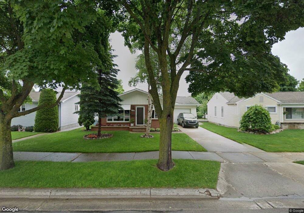
472 S 3rd St Rogers City, MI 49779
Estimated Value: $151,000 - $164,000
3
Beds
2
Baths
2,288
Sq Ft
$70/Sq Ft
Est. Value
About This Home
This home is located at 472 S 3rd St, Rogers City, MI 49779 and is currently estimated at $159,285, approximately $69 per square foot. 472 S 3rd St is a home located in Presque Isle County with nearby schools including Rogers City Elementary School, Rogers City High School, and St. John Lutheran School.
Ownership History
Date
Name
Owned For
Owner Type
Purchase Details
Closed on
Jun 10, 2015
Sold by
Buse Leeann
Bought by
Jamieson Carol A and Jamieson Tammy M
Current Estimated Value
Purchase Details
Closed on
Nov 17, 2009
Sold by
Dehring Louis and Arthur And Amelia Deletzki Tru
Bought by
Buse Leeann
Home Financials for this Owner
Home Financials are based on the most recent Mortgage that was taken out on this home.
Original Mortgage
$58,500
Interest Rate
5.05%
Mortgage Type
Purchase Money Mortgage
Create a Home Valuation Report for This Property
The Home Valuation Report is an in-depth analysis detailing your home's value as well as a comparison with similar homes in the area
Home Values in the Area
Average Home Value in this Area
Purchase History
| Date | Buyer | Sale Price | Title Company |
|---|---|---|---|
| Jamieson Carol A | $68,500 | None Available | |
| Buse Leeann | $65,000 | -- |
Source: Public Records
Mortgage History
| Date | Status | Borrower | Loan Amount |
|---|---|---|---|
| Previous Owner | Buse Leeann | $58,500 |
Source: Public Records
Tax History Compared to Growth
Tax History
| Year | Tax Paid | Tax Assessment Tax Assessment Total Assessment is a certain percentage of the fair market value that is determined by local assessors to be the total taxable value of land and additions on the property. | Land | Improvement |
|---|---|---|---|---|
| 2025 | $1,370 | $59,200 | $0 | $0 |
| 2024 | $1,094 | $50,200 | $0 | $0 |
| 2023 | $1,044 | $44,100 | $0 | $0 |
| 2022 | $1,263 | $36,600 | $0 | $0 |
| 2021 | $1,223 | $35,400 | $0 | $0 |
| 2020 | $1,185 | $32,200 | $0 | $0 |
| 2019 | $1,165 | $31,800 | $0 | $0 |
| 2018 | $1,137 | $32,900 | $0 | $0 |
| 2016 | -- | $29,200 | $0 | $0 |
| 2014 | -- | $28,000 | $0 | $0 |
Source: Public Records
Map
Nearby Homes
- 312 E Orchard St
- 335 S 4th St
- 151 Hoeft Rd
- 360 E Huron Ave
- 354 N 6th St
- 0 451 Hwy Unit 201834784
- 619 State St
- 1089 Dettloff St
- 0 Airport Hwy Unit 201836891
- 0 Airport Hwy Unit 201836889
- 0 M-68 Unit 201836886
- 0 M-68 Unit 28 Acres 201828504
- 0 Airport Hwy & County Road 451 Unit 201836885
- 1194 Larke Ave
- 440 Hemlock St
- 0 W Airport Hwy Unit 201835935
- V/L W Airport Hwy
- 0 M-68 Hwy and Airport Rd Unit 201836887
- V/L 10+AC Birchwood Dr
- 1367 Wenzel Hwy