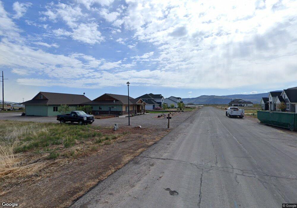
472 W 2300 S Unit 18 Richfield, UT 84701
Estimated Value: $673,044 - $795,000
5
Beds
3
Baths
3,254
Sq Ft
$229/Sq Ft
Est. Value
About This Home
This home is located at 472 W 2300 S Unit 18, Richfield, UT 84701 and is currently estimated at $744,511, approximately $228 per square foot. 472 W 2300 S Unit 18 is a home located in Sevier County with nearby schools including Ashman School, Pahvant School, and Red Hills Middle School.
Ownership History
Date
Name
Owned For
Owner Type
Purchase Details
Closed on
Jun 11, 2020
Sold by
Morgan Jon Clay and Morgan Randa Carol
Bought by
Dearden Mike and Dearden Veronica
Current Estimated Value
Home Financials for this Owner
Home Financials are based on the most recent Mortgage that was taken out on this home.
Original Mortgage
$465,500
Outstanding Balance
$412,630
Interest Rate
3.2%
Mortgage Type
New Conventional
Estimated Equity
$331,881
Purchase Details
Closed on
Mar 16, 2017
Sold by
Morgan Jon Clay
Bought by
Morgan Jon Clay and Morgan Randa Carol
Home Financials for this Owner
Home Financials are based on the most recent Mortgage that was taken out on this home.
Original Mortgage
$263,532
Interest Rate
3.87%
Mortgage Type
FHA
Purchase Details
Closed on
Mar 8, 2017
Sold by
Woodbury Norman B and Woodbury Efronia O
Bought by
Woodbury Norman B and Woodbury Efronia O
Home Financials for this Owner
Home Financials are based on the most recent Mortgage that was taken out on this home.
Original Mortgage
$263,532
Interest Rate
3.87%
Mortgage Type
FHA
Purchase Details
Closed on
Feb 20, 2015
Sold by
Morgan Jon
Bought by
Morgan Jon Clay and Morgan Randa Carol
Purchase Details
Closed on
Feb 13, 2015
Sold by
Bank Of The West
Bought by
Morgan Jon
Purchase Details
Closed on
Feb 12, 2015
Sold by
Morgan Jon
Bought by
Morgan Jon Clay and Morgan Randa Carol
Purchase Details
Closed on
Jul 17, 2013
Sold by
Higgins Patrick J
Bought by
Bank Of The West
Purchase Details
Closed on
Jan 15, 2008
Sold by
Roth Erlk
Bought by
Higgins Patrick J
Home Financials for this Owner
Home Financials are based on the most recent Mortgage that was taken out on this home.
Original Mortgage
$97,669
Interest Rate
5.96%
Mortgage Type
Unknown
Purchase Details
Closed on
Aug 10, 2007
Sold by
Alliance Ventures Llc
Bought by
Roth Erik
Home Financials for this Owner
Home Financials are based on the most recent Mortgage that was taken out on this home.
Original Mortgage
$120,000
Interest Rate
6.62%
Mortgage Type
Purchase Money Mortgage
Purchase Details
Closed on
Aug 1, 2006
Sold by
Keb Enterprises Lp
Bought by
Alliance Ventures Llc
Create a Home Valuation Report for This Property
The Home Valuation Report is an in-depth analysis detailing your home's value as well as a comparison with similar homes in the area
Home Values in the Area
Average Home Value in this Area
Purchase History
| Date | Buyer | Sale Price | Title Company |
|---|---|---|---|
| Dearden Mike | -- | First American Title Ins Co | |
| Morgan Jon Clay | -- | First American Title Insuran | |
| Morgan Jon Clay | -- | First American Title Insuran | |
| Woodbury Norman B | -- | None Available | |
| Morgan Jon Clay | -- | None Available | |
| Morgan Jon | -- | None Available | |
| Morgan Jon Clay | -- | None Available | |
| Bank Of The West | -- | Provo Land Title Co | |
| Higgins Patrick J | -- | First Ameican Title Insuranc | |
| Roth Erik | -- | First American Title | |
| Alliance Ventures Llc | -- | First American Title Ins Age |
Source: Public Records
Mortgage History
| Date | Status | Borrower | Loan Amount |
|---|---|---|---|
| Open | Dearden Mike | $465,500 | |
| Previous Owner | Morgan Jon Clay | $263,532 | |
| Previous Owner | Higgins Patrick J | $97,669 | |
| Previous Owner | Roth Erik | $120,000 |
Source: Public Records
Tax History Compared to Growth
Tax History
| Year | Tax Paid | Tax Assessment Tax Assessment Total Assessment is a certain percentage of the fair market value that is determined by local assessors to be the total taxable value of land and additions on the property. | Land | Improvement |
|---|---|---|---|---|
| 2024 | $2,990 | $330,251 | $32,975 | $297,276 |
| 2023 | $3,268 | $358,182 | $30,925 | $327,257 |
| 2022 | $3,205 | $292,647 | $28,493 | $264,154 |
| 2021 | $3,074 | $236,232 | $28,469 | $207,763 |
| 2020 | $3,104 | $231,917 | $33,000 | $198,917 |
| 2019 | $2,778 | $219,770 | $27,500 | $192,270 |
| 2018 | $3,101 | $219,770 | $27,500 | $192,270 |
| 2017 | $1,336 | $90,350 | $22,630 | $67,720 |
| 2016 | -- | $17,630 | $0 | $0 |
| 2015 | -- | $16,900 | $0 | $0 |
| 2014 | -- | $16,020 | $0 | $0 |
Source: Public Records
Map
Nearby Homes
- 471 W 2300 S
- 501 W 2300 S
- 391 W 2300 S
- 2794 S 325 W
- 2749 Mulberry Ln Unit 4
- 155 W 1500 S
- 949 W Torrey Pines Dr
- 902 W Southern Hills Vista
- 0 Parcel #1-2-57 Unit 25-261285
- 765 W 1100 S
- 690 1100 S
- 554 W 1000 S
- 195 E 650 N Unit 5
- 185 E 650 N Unit 4
- 160 E 650 N Unit 3
- 155 E 650 N Unit 1
- 165 E 650 N Unit 2
- 837 610 W
- 0 Parcel #1-7-73 Unit 25-261286
- 3150 S 1870 W Unit 3
- 471 W 2300 S Unit 13
- 492 W 2300 S Unit 17
- 440 W 2300 S Unit 19
- 270 W Country Meadow (2075 S) Ln
- 501 W 2300 S Unit 14
- 310 W Country Meadow (2075 S) Ln
- 285 W Meadowbrook (1900 S) Ln
- 536 W 2300 S Unit 16
- 536 W 2300 S
- 355 W Meadowbrook (1900 S) Ln
- 408 W 2300 S Unit 20
- 380 W Country Meadow (2075 S) Ln
- 230 W Meadowbrook (1900 S) Ln
- 405 W 2300 S Unit 11
- 275 W Country Meadow (2075 S) Ln
- 385 W Country Meadow (2075 S) Ln
- 225 W Country Meadow (2075 S) Ln
- 395 W Meadowbrook (1900 S) Ln
- 255 W Country Meadow (2075 S) Ln
- 315 W Country Meadow (2075 S) Ln