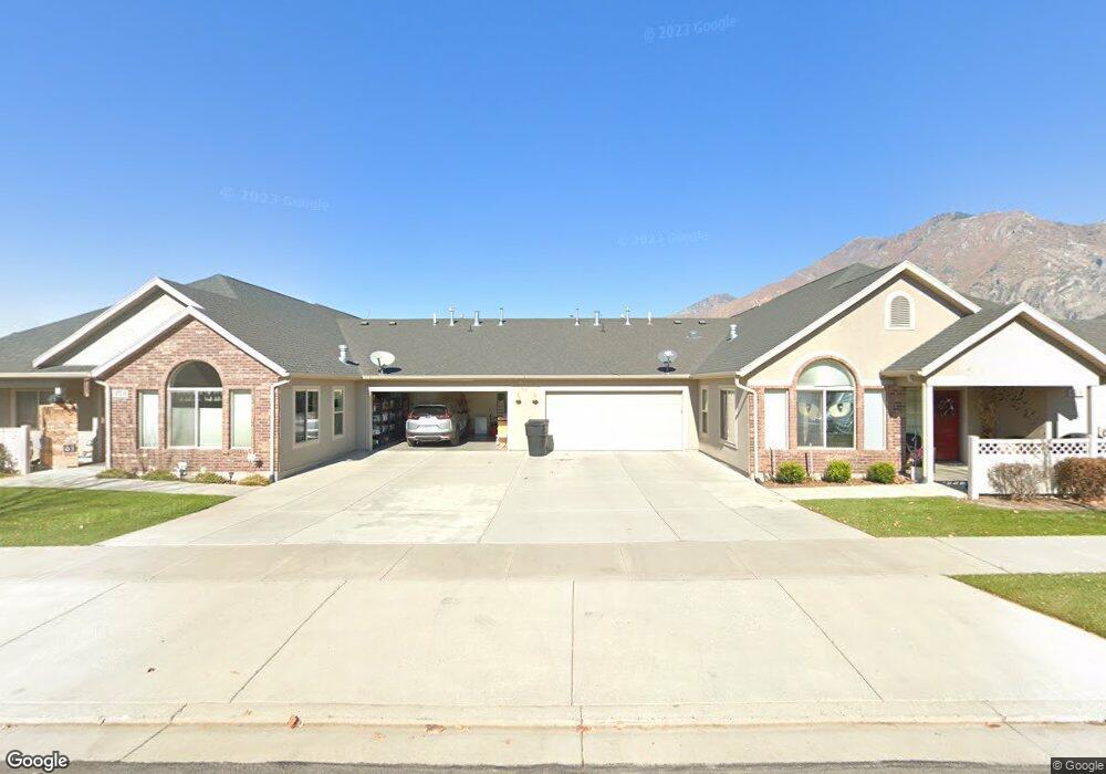
472 W 350 S Unit A Springville, UT 84663
Westfields North NeighborhoodEstimated Value: $456,000 - $485,071
2
Beds
2
Baths
1,827
Sq Ft
$258/Sq Ft
Est. Value
About This Home
This home is located at 472 W 350 S Unit A, Springville, UT 84663 and is currently estimated at $471,268, approximately $257 per square foot. 472 W 350 S Unit A is a home located in Utah County with nearby schools including Westside Elementary School, Springville Junior High School, and Springville High School.
Ownership History
Date
Name
Owned For
Owner Type
Purchase Details
Closed on
Mar 24, 2023
Sold by
Lyons Barton Fred
Bought by
Lyons Grantors Fund Utah Llc
Current Estimated Value
Home Financials for this Owner
Home Financials are based on the most recent Mortgage that was taken out on this home.
Original Mortgage
$1,186,149
Interest Rate
6.12%
Mortgage Type
Construction
Create a Home Valuation Report for This Property
The Home Valuation Report is an in-depth analysis detailing your home's value as well as a comparison with similar homes in the area
Home Values in the Area
Average Home Value in this Area
Purchase History
| Date | Buyer | Sale Price | Title Company |
|---|---|---|---|
| Lyons Grantors Fund Utah Llc | -- | Gt Title Services |
Source: Public Records
Mortgage History
| Date | Status | Borrower | Loan Amount |
|---|---|---|---|
| Closed | Lyons Grantors Fund Utah Llc | $1,186,149 |
Source: Public Records
Tax History Compared to Growth
Tax History
| Year | Tax Paid | Tax Assessment Tax Assessment Total Assessment is a certain percentage of the fair market value that is determined by local assessors to be the total taxable value of land and additions on the property. | Land | Improvement |
|---|---|---|---|---|
| 2025 | $2,488 | $457,000 | $50,800 | $406,200 |
| 2024 | $2,488 | $246,950 | $0 | $0 |
| 2023 | $2,503 | $250,745 | $0 | $0 |
| 2022 | $2,733 | $268,840 | $0 | $0 |
| 2021 | $2,350 | $359,400 | $43,100 | $316,300 |
| 2020 | $2,287 | $339,100 | $40,700 | $298,400 |
| 2019 | $2,054 | $309,700 | $34,500 | $275,200 |
| 2018 | $1,958 | $281,500 | $34,500 | $247,000 |
| 2017 | $1,947 | $148,500 | $0 | $0 |
| 2016 | $1,913 | $143,000 | $0 | $0 |
| 2015 | $1,714 | $130,625 | $0 | $0 |
| 2014 | $1,421 | $107,250 | $0 | $0 |
Source: Public Records
Map
Nearby Homes
- 293 S 450 W Unit B
- 550 S 400 W
- 532 W 300 S Unit B
- 224 S 550 W Unit B-2
- 1768 W 300 S Unit D
- 12 N 450 W
- 311 W Center St
- 618 S 100 W Unit 302
- 64 W 600 S Unit C205
- 675 S 100 W Unit A305
- 745 S Harrison Dr W Unit 37
- 743 S Harrison Dr W Unit 36
- 729 S Harrison Dr
- 721 S Harrison Dr Unit 30
- 717 S Harrison Dr Unit 29
- 742 S Harrison Dr Unit 13
- 776 S Harrison Dr Unit 78
- 785 S Harrison Dr Unit 51
- 749 S Harrison Dr Unit 38
- 751 S Harrison Dr Unit 28
- 472 W 350 S Unit B
- 472 W 350 S Unit C
- 477 W 300 S
- 477 W 300 S
- 477 W 300 S Unit 5B
- 477 W 300 S
- 477 W 300 S Unit D
- 477 W 300 S Unit C
- 473 W 350 S Unit D
- 473 W 350 S Unit C
- 473 W 350 S Unit B
- 484 W 350 S Unit A
- 484 W 350 S Unit D
- 484 W 350 S Unit 118
- 458 W 350 S Unit D
- 458 W 350 S Unit B
- 463 W 300 S
- 463 W 300 S Unit 2C
- 463 W 300 S Unit 1B
- 463 W 300 S Unit 4A