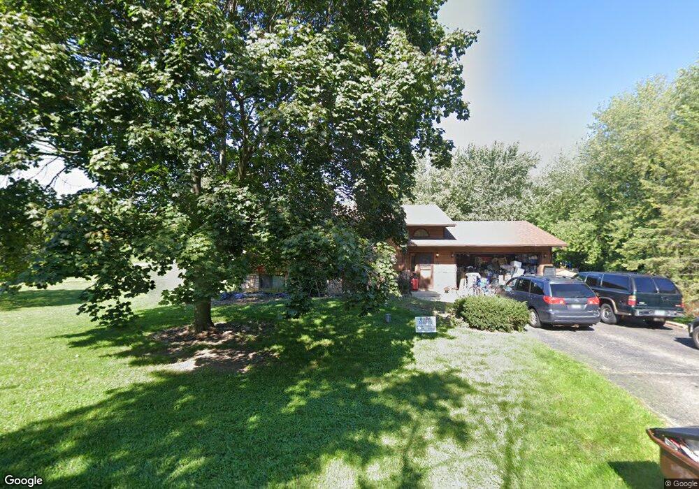
4720 10th St Zion, IL 60099
Shore Acres NeighborhoodEstimated Value: $307,000 - $340,000
3
Beds
2
Baths
1,120
Sq Ft
$287/Sq Ft
Est. Value
About This Home
This home is located at 4720 10th St, Zion, IL 60099 and is currently estimated at $321,646, approximately $287 per square foot. 4720 10th St is a home located in Lake County with nearby schools including Kenneth Murphy School, Beach Park Middle School, and Zion-Benton Township High School.
Ownership History
Date
Name
Owned For
Owner Type
Purchase Details
Closed on
Nov 2, 2020
Sold by
Robinson Jeff and Robinson Kristine
Bought by
Robinson Jeffrey K and Robinson Krisitne R
Current Estimated Value
Purchase Details
Closed on
Jun 1, 2005
Sold by
Pulfer Eldon C and Pulfer Jill M
Bought by
Robinson Jeff and Robinson Kristine
Home Financials for this Owner
Home Financials are based on the most recent Mortgage that was taken out on this home.
Original Mortgage
$221,828
Outstanding Balance
$116,254
Interest Rate
5.82%
Mortgage Type
FHA
Estimated Equity
$205,392
Purchase Details
Closed on
Aug 14, 2002
Sold by
Hendricks Stephen L and Hendricks Kathryn Hanna
Bought by
Pulfer Eldon C and Pulfer Jill M
Home Financials for this Owner
Home Financials are based on the most recent Mortgage that was taken out on this home.
Original Mortgage
$125,000
Interest Rate
6.13%
Create a Home Valuation Report for This Property
The Home Valuation Report is an in-depth analysis detailing your home's value as well as a comparison with similar homes in the area
Home Values in the Area
Average Home Value in this Area
Purchase History
| Date | Buyer | Sale Price | Title Company |
|---|---|---|---|
| Robinson Jeffrey K | -- | Attorney | |
| Robinson Jeff | $225,000 | -- | |
| Pulfer Eldon C | $195,000 | -- |
Source: Public Records
Mortgage History
| Date | Status | Borrower | Loan Amount |
|---|---|---|---|
| Open | Robinson Jeff | $221,828 | |
| Previous Owner | Pulfer Eldon C | $125,000 |
Source: Public Records
Tax History Compared to Growth
Tax History
| Year | Tax Paid | Tax Assessment Tax Assessment Total Assessment is a certain percentage of the fair market value that is determined by local assessors to be the total taxable value of land and additions on the property. | Land | Improvement |
|---|---|---|---|---|
| 2024 | $8,268 | $92,111 | $13,824 | $78,287 |
| 2023 | $7,221 | $84,364 | $13,345 | $71,019 |
| 2022 | $7,221 | $71,287 | $13,096 | $58,191 |
| 2021 | $7,420 | $69,474 | $12,763 | $56,711 |
| 2020 | $7,237 | $66,299 | $12,180 | $54,119 |
| 2019 | $7,199 | $62,902 | $11,556 | $51,346 |
| 2018 | $7,884 | $66,393 | $14,219 | $52,174 |
| 2017 | $7,814 | $62,458 | $13,376 | $49,082 |
| 2016 | $7,598 | $59,461 | $12,734 | $46,727 |
| 2015 | $7,373 | $54,531 | $11,678 | $42,853 |
| 2014 | $5,360 | $43,574 | $17,130 | $26,444 |
| 2012 | $5,408 | $45,281 | $17,801 | $27,480 |
Source: Public Records
Map
Nearby Homes
- 1304 Pelican Ct
- 3707 Willow Crest Dr
- 42908 N Lewis Ave
- 0 9th St
- 1531 Southport Ct
- 3717 Willow Crest Dr
- 1405 Lewis Ave
- 1521 Southport Ct
- 43100 N Lewis Ave
- 1302 Lorelei Dr
- 4014 Ridge Rd
- 1417 Westside Trail
- 210 Oak Ln
- 429 Megan Place
- 908 Countrywood Dr
- 3106 13th St
- 1703 Hermon Ave
- 11279 W Russell Rd
- Lt0 128th St
- 1817 Joppa Ave
- 925 Hayner Ave
- 42390 N Hayner Ave
- 42361 N Hayner Ave
- 4625 10th St
- 42432 N Hayner Ave
- 42362 N Hayner Ave
- 42340 N Hanks Ave
- 11721 W 9th St
- 42340 N Hayner Ave
- 42402 N Hayner Ave
- 42339 N Hanks Ave
- 42361 N Thorpe Ave
- 42313 N Hayner Ave
- 42314 N Hanks Ave
- 11679 W 9th St
- 42339 N Thorpe Ave
- 42314 N Hayner Ave
- 42340 N Fago Ave
- 42313 N Hanks Ave
- 11647 W 9th St