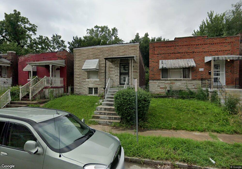
4720 Ashland Ct Saint Louis, MO 63115
Kingsway NeighborhoodEstimated Value: $22,000 - $68,000
2
Beds
2
Baths
990
Sq Ft
$51/Sq Ft
Est. Value
About This Home
This home is located at 4720 Ashland Ct, Saint Louis, MO 63115 and is currently estimated at $50,470, approximately $50 per square foot. 4720 Ashland Ct is a home located in St. Louis City with nearby schools including Hickey Elementary School, Sumner High School, and North Side Community Elementary School.
Ownership History
Date
Name
Owned For
Owner Type
Purchase Details
Closed on
Jan 1, 2023
Sold by
Powell Hattie M
Bought by
Powell Sean Michael
Current Estimated Value
Purchase Details
Closed on
Oct 20, 2009
Sold by
Wallace Daniel
Bought by
Powell Hattie M
Purchase Details
Closed on
Aug 28, 2009
Sold by
Hsbc Bank Usa Na
Bought by
Wallace Daniel and Alpha & Omega Demolition Llc
Purchase Details
Closed on
May 1, 2009
Sold by
Jones Kathy Marie
Bought by
Hsbc Bank Usa Na
Create a Home Valuation Report for This Property
The Home Valuation Report is an in-depth analysis detailing your home's value as well as a comparison with similar homes in the area
Home Values in the Area
Average Home Value in this Area
Purchase History
| Date | Buyer | Sale Price | Title Company |
|---|---|---|---|
| Powell Sean Michael | -- | None Listed On Document | |
| Powell Sean Michael | -- | None Listed On Document | |
| Powell Hattie M | -- | None Available | |
| Wallace Daniel | -- | Mokan Title Services Llc | |
| Hsbc Bank Usa Na | $32,550 | None Available |
Source: Public Records
Tax History
| Year | Tax Paid | Tax Assessment Tax Assessment Total Assessment is a certain percentage of the fair market value that is determined by local assessors to be the total taxable value of land and additions on the property. | Land | Improvement |
|---|---|---|---|---|
| 2025 | $222 | $2,400 | $300 | $2,100 |
| 2024 | $213 | $2,320 | $300 | $2,020 |
| 2023 | $213 | $2,320 | $300 | $2,020 |
| 2022 | $216 | $2,280 | $300 | $1,980 |
| 2021 | $216 | $2,280 | $300 | $1,980 |
| 2020 | $211 | $2,240 | $300 | $1,940 |
| 2019 | $211 | $2,240 | $300 | $1,940 |
| 2018 | $181 | $1,820 | $300 | $1,520 |
| 2016 | $208 | $2,150 | $630 | $1,520 |
Source: Public Records
Map
Nearby Homes
- 4741 Greer Ave
- 4703 Labadie Ave
- 4628 Elmbank Ave
- 4713-4715 Natural Bridge Ave
- 4762 Labadie Ave
- 4755 Saint Louis Ave
- 4544 Elmbank Ave
- 4752 Saint Louis Ave
- 4367 Saint Louis Ave
- 4533 Lexington Ave
- 4753 Maffitt Ave
- 4823 San Francisco Ave
- 3103 N Taylor Ave
- 2834 N Euclid Ave
- 4538 San Francisco Ave
- 4729 Margaretta Ave
- 3012 N Taylor Ave
- 4006 Marcus Ave
- 4837 Northland Ave
- 4534 Margaretta Ave
- 4718 Ashland Ct
- 4724 Ashland Ct
- 4716 Ashland Ct
- 4726 Ashland Ct
- 4728 Ashland Ct
- 4714 Ashland Ct
- 4730 Ashland Ct
- 4721 Ashland Ave
- 4717 Ashland Ave
- 4723 Ashland Ave
- 4715 Ashland Ave
- 4734 Ashland Ct
- 4725 Ashland Ct
- 4719 Ashland Ct
- 4721 Ashland Ct
- 4717 Ashland Ct
- 4731 Ashland Ave
- 3417 Marcus Ave
- 3419 Marcus Ave
- 4715 Ashland Ct
Your Personal Tour Guide
Ask me questions while you tour the home.