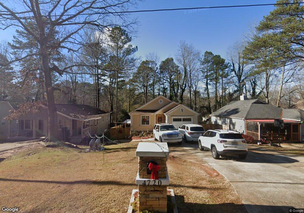
4720 Bryant Rd Unit 1 Buford, GA 30518
Estimated Value: $312,000 - $338,608
3
Beds
2
Baths
1,247
Sq Ft
$262/Sq Ft
Est. Value
About This Home
This home is located at 4720 Bryant Rd Unit 1, Buford, GA 30518 and is currently estimated at $326,652, approximately $261 per square foot. 4720 Bryant Rd Unit 1 is a home located in Gwinnett County with nearby schools including Buford Elementary School, Buford Academy, and Buford Senior Academy.
Ownership History
Date
Name
Owned For
Owner Type
Purchase Details
Closed on
Jun 27, 1997
Sold by
Buckley Steven L and Buckley Bonnie L
Bought by
Torres Martin O
Current Estimated Value
Home Financials for this Owner
Home Financials are based on the most recent Mortgage that was taken out on this home.
Original Mortgage
$84,400
Outstanding Balance
$11,480
Interest Rate
7.92%
Mortgage Type
New Conventional
Estimated Equity
$315,172
Purchase Details
Closed on
May 31, 1995
Sold by
Deets William J Bonnie L
Bought by
Buckley Steven J Bonnie L
Create a Home Valuation Report for This Property
The Home Valuation Report is an in-depth analysis detailing your home's value as well as a comparison with similar homes in the area
Home Values in the Area
Average Home Value in this Area
Purchase History
| Date | Buyer | Sale Price | Title Company |
|---|---|---|---|
| Torres Martin O | $88,900 | -- | |
| Buckley Steven J Bonnie L | $77,000 | -- |
Source: Public Records
Mortgage History
| Date | Status | Borrower | Loan Amount |
|---|---|---|---|
| Open | Torres Martin O | $84,400 |
Source: Public Records
Tax History Compared to Growth
Tax History
| Year | Tax Paid | Tax Assessment Tax Assessment Total Assessment is a certain percentage of the fair market value that is determined by local assessors to be the total taxable value of land and additions on the property. | Land | Improvement |
|---|---|---|---|---|
| 2025 | $1,898 | $142,080 | $26,800 | $115,280 |
| 2024 | $1,699 | $128,160 | $19,600 | $108,560 |
| 2023 | $1,699 | $128,160 | $19,600 | $108,560 |
| 2022 | $1,303 | $100,600 | $16,000 | $84,600 |
| 2021 | $760 | $62,720 | $8,000 | $54,720 |
| 2020 | $760 | $62,720 | $8,000 | $54,720 |
| 2019 | $554 | $52,520 | $8,000 | $44,520 |
| 2018 | $554 | $52,520 | $8,000 | $44,520 |
| 2016 | $310 | $33,760 | $4,000 | $29,760 |
| 2015 | $276 | $30,360 | $4,000 | $26,360 |
| 2014 | -- | $21,400 | $3,000 | $18,400 |
Source: Public Records
Map
Nearby Homes
- 2938 Pebblebrook Dr
- 2930 Blake Towers Ln
- 2910 Blake Towers Ln
- 2416 Loughridge Dr
- 2307 Loughridge Dr
- 4375 Easter Lily Ave
- 405 Thunder Rd
- 4304 Grey Park Dr
- 3271 Meadow Lily Ct
- 3026 Sea Aster Way
- 3016 Sea Aster Way
- 3340 Ivey Ridge Rd
- 879 Gainesville Hwy
- 1098 Caruso Dr
- 5758 Hickory Wood Ln
- 5758 Hickory Wood Ln Unit 336
- 2678 N Bogan Rd
- 4637 Landing Water Path
- 403 Thunder Rd
- 4710 Bryant Rd
- 4730 Bryant Rd
- 4700 Bryant Rd
- 4740 Bryant Rd
- 2900 Vernon Ct
- 4690 Bryant Rd
- 3039 Pebblebrook Dr
- 2896 Vernon Ct
- 3035 Pebblebrook Dr
- 4750 Bryant Rd
- 4680 Bryant Rd
- 3001 Pebblebrook Dr
- 2892 Vernon Ct
- 3005 Pebblebrook Dr
- 3031 Pebblebrook Dr
- 4670 Bryant Rd Unit 1
- 3040 Pebblebrook Dr
- 2903 Vernon Ct
- 2893 Vernon Ct
- 3027 Pebblebrook Dr