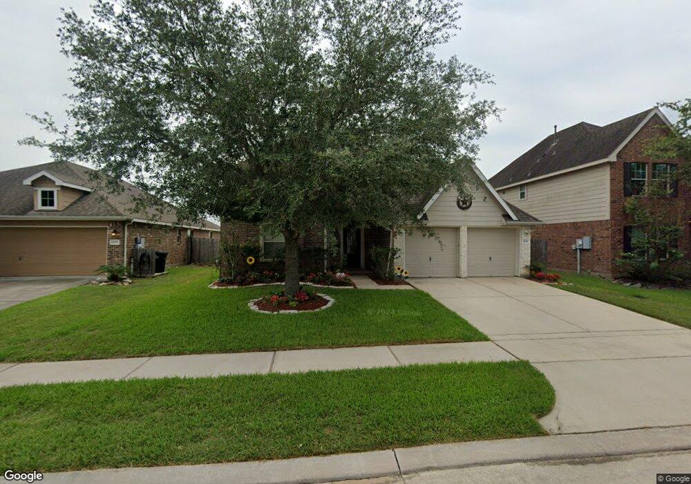
Estimated Value: $348,536 - $381,000
--
Bed
--
Bath
2,988
Sq Ft
$124/Sq Ft
Est. Value
About This Home
This home is located at 4720 Lake Rim Dr, Alvin, TX 77511 and is currently estimated at $369,384, approximately $123 per square foot. 4720 Lake Rim Dr is a home with nearby schools including Mark Twain Elementary School, G.W. Harby Junior High School, and Alvin High School.
Ownership History
Date
Name
Owned For
Owner Type
Purchase Details
Closed on
Jun 22, 2012
Sold by
Sanchez Sandra
Bought by
Sorto Juan
Current Estimated Value
Purchase Details
Closed on
Oct 28, 2011
Sold by
K Hovnanian Of Houston Ii Llc
Bought by
Sorto Juan
Home Financials for this Owner
Home Financials are based on the most recent Mortgage that was taken out on this home.
Original Mortgage
$187,132
Interest Rate
3.75%
Mortgage Type
FHA
Purchase Details
Closed on
Jul 18, 2011
Sold by
Skymark Development Company Inc
Bought by
K Hovnanian Of Houston Ii Llc
Create a Home Valuation Report for This Property
The Home Valuation Report is an in-depth analysis detailing your home's value as well as a comparison with similar homes in the area
Home Values in the Area
Average Home Value in this Area
Purchase History
| Date | Buyer | Sale Price | Title Company |
|---|---|---|---|
| Sorto Juan | -- | None Available | |
| Sorto Juan | -- | Alamo Title Company | |
| K Hovnanian Of Houston Ii Llc | -- | Alamo Title Company |
Source: Public Records
Mortgage History
| Date | Status | Borrower | Loan Amount |
|---|---|---|---|
| Previous Owner | Sorto Juan | $187,132 |
Source: Public Records
Tax History Compared to Growth
Tax History
| Year | Tax Paid | Tax Assessment Tax Assessment Total Assessment is a certain percentage of the fair market value that is determined by local assessors to be the total taxable value of land and additions on the property. | Land | Improvement |
|---|---|---|---|---|
| 2025 | $10,158 | $383,280 | $75,900 | $307,380 |
| 2023 | $10,158 | $357,531 | $75,900 | $315,670 |
| 2022 | $11,158 | $325,028 | $44,280 | $288,880 |
| 2021 | $10,599 | $295,480 | $44,280 | $251,200 |
| 2020 | $10,444 | $287,960 | $44,280 | $243,680 |
| 2019 | $10,618 | $286,700 | $37,950 | $248,750 |
| 2018 | $9,779 | $263,660 | $37,950 | $225,710 |
| 2017 | $9,592 | $255,970 | $37,950 | $218,020 |
| 2016 | $9,101 | $251,890 | $31,630 | $220,260 |
| 2015 | $8,866 | $220,800 | $31,630 | $189,170 |
| 2014 | $8,866 | $232,820 | $31,630 | $201,190 |
Source: Public Records
Map
Nearby Homes
- 4724 Alluvial Cir
- 4706 Alluvial Cir
- 349 Lake Line Dr
- 726 Rim Water Dr
- 4738 Alluvial Cir
- 340 Kendall Crest Dr
- 334 Kendall Crest Dr
- 350 Selah Ct
- 5307 Camerford Ct
- 356 Selah Ct
- 310 Kendall Crest Dr
- 5307 Cascade Ct
- 380 Kendall Crest Dr
- 368 Selah Ct
- 397 Kendall Crest Dr
- 418 Kendall Crest Dr
- 414 Kendall Crest Dr
- 404 Kendall Crest Dr
- 390 Kendall Crest Dr
- 394 Kendall Crest Dr
- 4722 Lake Rim Dr
- 4718 Lake Rim Dr
- 4716 Lake Rim Dr
- 4724 Lake Rim Dr
- 4717 High Creek Ct
- 4721 Lake Rim Dr
- 4714 Lake Rim Dr
- 4719 Lake Rim Dr
- 4723 Lake Rim Dr
- 700 Rim Water Dr
- 4717 Lake Rim Dr
- 4715 High Creek Ct
- 4712 Lake Rim Dr
- 4715 Lake Rim Dr
- 702 Rim Water Dr
- 4713 High Creek Ct
- 703 Rim Water Dr
- 4713 Lake Rim Dr
- 4710 Lake Rim Dr
- 704 Rim Water Dr
