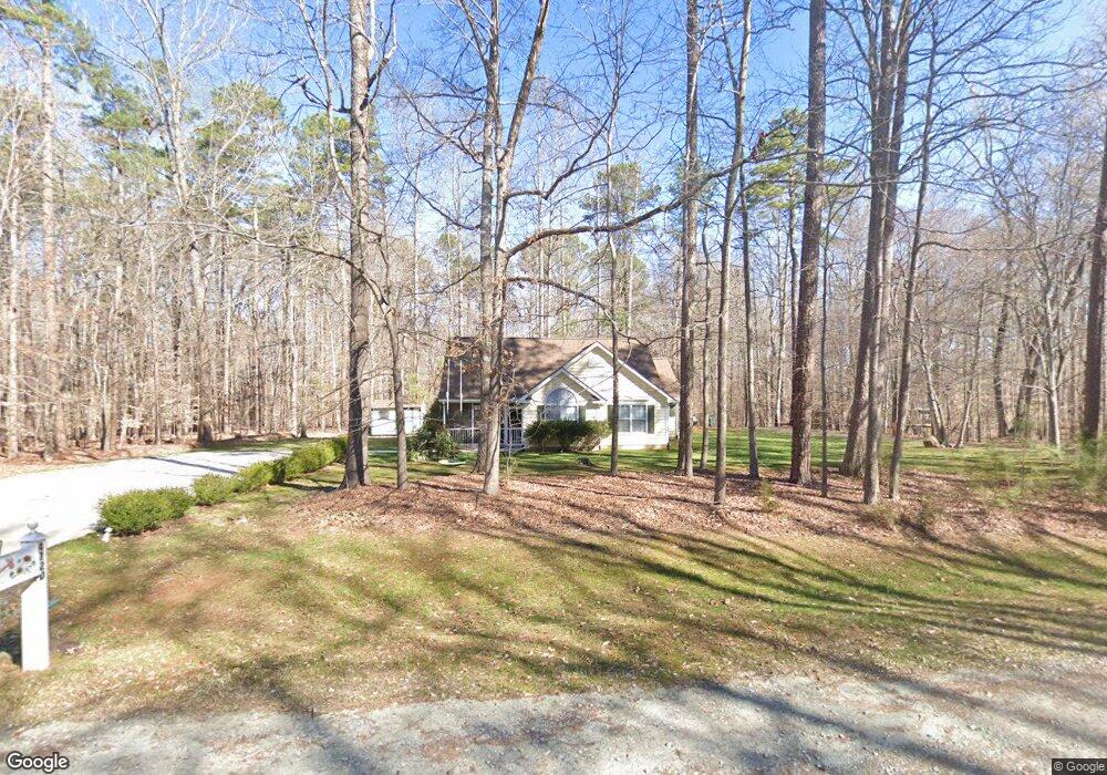
4720 Neff St Durham, NC 27705
Croasdaile NeighborhoodEstimated Value: $353,707 - $397,000
About This Home
This home is located at 4720 Neff St, Durham, NC 27705 and is currently estimated at $376,677, approximately $289 per square foot. 4720 Neff St is a home located in Durham County with nearby schools including Hillandale Elementary School, George L Carrington Middle, and Riverside High School.
Ownership History
We collect this data history from publicly available records. To have your information removed, we recommend requesting removal directly through your county’s website.
Purchase Details
Home Financials for this Owner
Home Financials are based on the most recent Mortgage that was taken out on this home.Purchase Details
Purchase Details
Home Financials for this Owner
Home Financials are based on the most recent Mortgage that was taken out on this home.Purchase Details
Home Financials for this Owner
Home Financials are based on the most recent Mortgage that was taken out on this home.Home Values in the Area
Average Home Value in this Area
Purchase History
We collect this data history from publicly available records. To have your information removed, we recommend requesting removal directly through your county’s website.
| Date | Buyer | Sale Price | Title Company |
|---|---|---|---|
| $169,000 | None Available | ||
| -- | None Available | ||
| $162,000 | None Available | ||
| $135,000 | -- |
Mortgage History
We collect this data history from publicly available records. To have your information removed, we recommend requesting removal directly through your county’s website.
| Date | Status | Borrower | Loan Amount |
|---|---|---|---|
| Open | $152,100 | ||
| Previous Owner | $167,346 | ||
| Previous Owner | $30,906 |
Tax History
We collect this data history from publicly available records. To have your information removed, we recommend requesting removal directly through your county’s website.
| Year | Tax Paid | Tax Assessment Tax Assessment Total Assessment is a certain percentage of the fair market value that is determined by local assessors to be the total taxable value of land and additions on the property. | Land | Improvement |
|---|---|---|---|---|
| 2025 | $2,963 | $298,850 | $91,250 | $207,600 |
| 2024 | $2,855 | $204,652 | $43,860 | $160,792 |
| 2023 | $2,681 | $204,652 | $43,860 | $160,792 |
| 2022 | $2,619 | $204,652 | $43,860 | $160,792 |
| 2021 | $2,607 | $204,652 | $43,860 | $160,792 |
| 2020 | $2,546 | $204,652 | $43,860 | $160,792 |
| 2019 | $2,546 | $204,652 | $43,860 | $160,792 |
| 2018 | $2,004 | $147,731 | $25,585 | $122,146 |
| 2017 | $1,989 | $147,731 | $25,585 | $122,146 |
| 2016 | $1,922 | $147,731 | $25,585 | $122,146 |
| 2015 | $2,007 | $145,002 | $29,662 | $115,340 |
| 2014 | $61 | $145,002 | $29,662 | $115,340 |
Map
- 2910 Beech Grove Dr
- 2606 Newquay St
- 2611 Freemont Rd
- 4422 Dula St
- 4424 Dula St
- 6102 Willett Rd
- 6026 Willett Rd
- 2408 Orangewood Dr
- 4605 Berini Dr
- 18 Dubarry Ct
- 4601 Pinedale Dr
- 948 Clarion Dr
- 4818 Berini Dr
- 4825 Stafford Dr
- 132 Baldwin Dr
- 3712 Rivermont Rd
- 5901 Jomali Dr
- 620 Duluth St
- 4627 Stafford Dr
- 22 Meadowbrook Ave
- 4718 Neff St
- 2732 Oberlin Dr
- 2805 Sparger Rd
- 2723 Sparger Rd
- 2728 Oberlin Dr
- 2731 Oberlin Dr
- 2721 Sparger Rd
- 2726 Oberlin Dr
- 2727 Oberlin Dr
- 2804 Sparger Rd
- 2802 Sparger Rd
- 2725 Oberlin Dr
- 2806 Sparger Rd
- 2813 Sparger Rd
- 2800 Sparger Rd
- 2720 Oberlin Dr
- 2720 Sparger Rd
- 2717 Sparger Rd
- 2815 Sparger Rd
- 2808 Sparger Rd
Ask me questions while you tour the home.