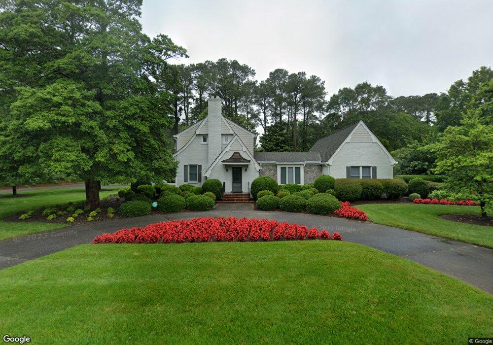
4720 Norman Rd Portsmouth, VA 23703
Churchland NeighborhoodEstimated Value: $477,000 - $568,333
4
Beds
5
Baths
3,326
Sq Ft
$161/Sq Ft
Est. Value
About This Home
This home is located at 4720 Norman Rd, Portsmouth, VA 23703 and is currently estimated at $535,333, approximately $160 per square foot. 4720 Norman Rd is a home located in Portsmouth City with nearby schools including Churchland Elementary School, Churchland Academy Elementary School, and Churchland Middle School.
Ownership History
Date
Name
Owned For
Owner Type
Purchase Details
Closed on
Nov 24, 2003
Sold by
Lilley Doris
Bought by
Coastal Virginia Developers
Current Estimated Value
Home Financials for this Owner
Home Financials are based on the most recent Mortgage that was taken out on this home.
Original Mortgage
$115,000
Outstanding Balance
$52,818
Interest Rate
5.98%
Mortgage Type
New Conventional
Estimated Equity
$482,515
Create a Home Valuation Report for This Property
The Home Valuation Report is an in-depth analysis detailing your home's value as well as a comparison with similar homes in the area
Home Values in the Area
Average Home Value in this Area
Purchase History
| Date | Buyer | Sale Price | Title Company |
|---|---|---|---|
| Coastal Virginia Developers | $190,000 | -- |
Source: Public Records
Mortgage History
| Date | Status | Borrower | Loan Amount |
|---|---|---|---|
| Open | Coastal Virginia Developers | $115,000 |
Source: Public Records
Tax History Compared to Growth
Tax History
| Year | Tax Paid | Tax Assessment Tax Assessment Total Assessment is a certain percentage of the fair market value that is determined by local assessors to be the total taxable value of land and additions on the property. | Land | Improvement |
|---|---|---|---|---|
| 2025 | $6,400 | $508,720 | $150,290 | $358,430 |
| 2024 | $6,400 | $506,440 | $150,290 | $356,150 |
| 2023 | $5,845 | $467,600 | $150,290 | $317,310 |
| 2022 | $5,822 | $447,880 | $148,840 | $299,040 |
| 2021 | $5,084 | $391,090 | $124,030 | $267,060 |
| 2020 | $5,007 | $385,180 | $118,120 | $267,060 |
| 2019 | $4,978 | $382,890 | $118,120 | $264,770 |
| 2018 | $4,978 | $382,890 | $118,120 | $264,770 |
| 2017 | $4,978 | $382,890 | $118,120 | $264,770 |
| 2016 | $4,978 | $382,890 | $118,120 | $264,770 |
| 2015 | $4,829 | $371,470 | $118,120 | $253,350 |
| 2014 | $4,713 | $371,140 | $118,120 | $253,020 |
Source: Public Records
Map
Nearby Homes
- 4305 Manchester Rd
- 2805 Acres Rd
- 4707 High St W
- 4412 Gannon Rd
- 3130 Sterling Point Dr
- 3128 Sterling Point Dr
- 4417 Gannon Rd
- 4517 Wake Forest Rd
- 4420 Norman Rd
- 5006 High St W
- 3108 Whaley Rd
- 4011 Reese Dr S
- 3200 Westwood Crescent
- 415 Tareyton Ln
- 4313 Templar Dr
- 3000 Ferguson Dr
- 3121 Riveredge Dr
- 5111 Sweetbriar Cir
- 3233 Clover Hill Dr
- 3205 Clover Hill Dr
- 4302 Manchester Rd
- 4206 Manchester Rd
- 4700 Norman Rd
- 4305 Faigle Rd
- 4241 Manchester Rd
- 4213 Faigle Rd
- 4237 Manchester Rd
- 4303 Manchester Rd
- 4304 Manchester Rd
- 4204 Manchester Rd
- 4309 Faigle Rd
- 2908 Tanbark Ln
- 4209 Faigle Rd
- 4209 Faigle Rd Unit Rd.
- 4612 Norman Rd
- 2903 Acres Rd
- 4304 Faigle Rd
- 2913 Tanbark Ln
- 4613 Norman Rd
- 4313 Faigle Rd