Estimated Value: $712,000 - $844,110
5
Beds
4
Baths
1,662
Sq Ft
$479/Sq Ft
Est. Value
About This Home
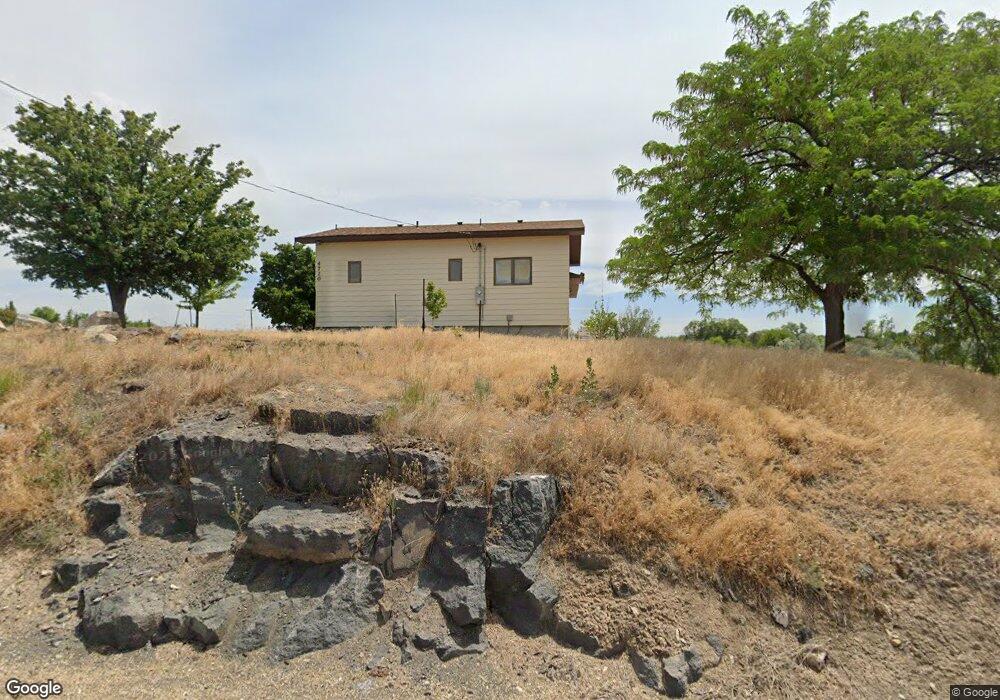
This home is located at 4720 S Powerline Rd, Nampa, ID 83686 and is currently estimated at $796,528, approximately $479 per square foot. 4720 S Powerline Rd is a home located in Canyon County with nearby schools including Reagan Elementary School, South Middle School, and Skyview High School.
Ownership History
Date
Name
Owned For
Owner Type
Purchase Details
Closed on
Nov 22, 2023
Sold by
Womack Julie
Bought by
Morrison Joshua
Current Estimated Value
Create a Home Valuation Report for This Property
The Home Valuation Report is an in-depth analysis detailing your home's value as well as a comparison with similar homes in the area
Home Values in the Area
Average Home Value in this Area
Purchase History
| Date | Buyer | Sale Price | Title Company |
|---|---|---|---|
| Morrison Joshua | -- | None Listed On Document |
Source: Public Records
Tax History Compared to Growth
Tax History
| Year | Tax Paid | Tax Assessment Tax Assessment Total Assessment is a certain percentage of the fair market value that is determined by local assessors to be the total taxable value of land and additions on the property. | Land | Improvement |
|---|---|---|---|---|
| 2025 | $2,102 | $679,300 | $345,700 | $333,600 |
| 2024 | $2,102 | $671,300 | $345,700 | $325,600 |
| 2023 | $2,106 | $666,500 | $345,700 | $320,800 |
| 2022 | $3,285 | $748,800 | $407,000 | $341,800 |
| 2021 | $2,559 | $463,700 | $170,200 | $293,500 |
| 2020 | $2,402 | $357,700 | $138,000 | $219,700 |
| 2019 | $2,720 | $350,500 | $123,000 | $227,500 |
| 2018 | $2,455 | $0 | $0 | $0 |
| 2017 | $2,035 | $0 | $0 | $0 |
| 2016 | $1,967 | $0 | $0 | $0 |
| 2015 | $1,705 | $0 | $0 | $0 |
| 2014 | $1,560 | $209,700 | $60,000 | $149,700 |
Source: Public Records
Map
Nearby Homes
- 1026 Huntington Ct
- 5118 Castleton Ave
- 5130 Castleton Ave
- 5131 Castleton Ave
- 4834 S Fern St
- 1116 E Perjue Basin Dr
- 4213 Jessie Ln
- 5202 Castleton Ave
- 1104 E Perjue Basin Dr
- 1015 E Perjue Basin Dr
- 5213 Castleton Ave
- 5214 Castleton Ave
- 1128 E Perjue Basin Dr
- 1026 E Perjue Basin Dr
- 5225 Castleton Ave
- 5226 Castleton Ave
- 5303 Castleton Ave
- 1002 E Perjue Basin Dr
- 5200 S Big Jacks Creek Ave
- 1003 E Perjue Basin Dr
- 1603 Ruth Ln
- 1417 Ruth Ln
- 4619 S Powerline Rd
- 1505 Avellino Brooke Ct
- 4613 S Powerline Rd
- 1515 Avellino Brooke Ct
- 1527 Avellino Brooke Ct
- tbd S Kelsie Ln (Parcel 2)
- 1621 Ruth Ln
- 4605 S Powerline Rd
- 1603 Avellino Brooke Ct
- 1508 Andover Ct
- 1520 Andover Ct
- 4606 Buzzard Ln
- 1705 Ruth Ln
- 4521 S Powerline Rd
- tbd S Kelsie Ln (Parcel 1)
- 1629 Avellino Brooke Ct
- 1711 Ruth Ln
- 1284 Ruth Ln