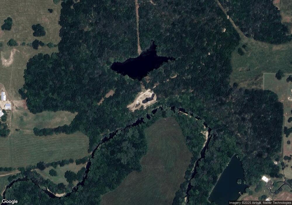
4720 W State Highway O Willard, MO 65781
Estimated Value: $443,000 - $1,789,598
5
Beds
4
Baths
5,901
Sq Ft
$189/Sq Ft
Est. Value
About This Home
This home is located at 4720 W State Highway O, Willard, MO 65781 and is currently estimated at $1,116,299, approximately $189 per square foot. 4720 W State Highway O is a home located in Greene County with nearby schools including Willard East Elementary School, Willard Intermediate School North, and Willard High School.
Ownership History
Date
Name
Owned For
Owner Type
Purchase Details
Closed on
Sep 15, 2025
Sold by
Grisham Jeremy M and Grisham Jennifer Clare
Bought by
Grisham Living Trust and Grisham
Current Estimated Value
Purchase Details
Closed on
Mar 3, 2022
Sold by
Revocable Trust
Bought by
Grisham Homestead Llc
Purchase Details
Closed on
Feb 24, 2021
Sold by
Woolsey Chad E and Woolsey Kristina M
Bought by
Woolsey Chad E and Woolsey Kristian M
Home Financials for this Owner
Home Financials are based on the most recent Mortgage that was taken out on this home.
Original Mortgage
$308,000
Interest Rate
2.7%
Mortgage Type
New Conventional
Purchase Details
Closed on
Jul 25, 2013
Sold by
Carter Diana C and Carter Dianne
Bought by
Carter Diana C and Carter Dianne
Create a Home Valuation Report for This Property
The Home Valuation Report is an in-depth analysis detailing your home's value as well as a comparison with similar homes in the area
Home Values in the Area
Average Home Value in this Area
Purchase History
| Date | Buyer | Sale Price | Title Company |
|---|---|---|---|
| Grisham Living Trust | -- | None Listed On Document | |
| Grisham Jeremy M | -- | None Listed On Document | |
| Grisham Jeremy M | -- | None Listed On Document | |
| Grisham Homestead Llc | -- | None Listed On Document | |
| Woolsey Chad E | -- | None Available | |
| Woolsey Chad E | -- | None Listed On Document | |
| Carter Diana C | -- | None Available |
Source: Public Records
Mortgage History
| Date | Status | Borrower | Loan Amount |
|---|---|---|---|
| Previous Owner | Woolsey Chad E | $308,000 |
Source: Public Records
Tax History Compared to Growth
Tax History
| Year | Tax Paid | Tax Assessment Tax Assessment Total Assessment is a certain percentage of the fair market value that is determined by local assessors to be the total taxable value of land and additions on the property. | Land | Improvement |
|---|---|---|---|---|
| 2025 | $10,797 | $208,470 | $9,860 | $198,610 |
| 2024 | $10,797 | $187,700 | $6,060 | $181,640 |
| 2023 | $2,048 | $35,720 | $3,820 | $31,900 |
| 2022 | $1,651 | $29,510 | $3,820 | $25,690 |
| 2021 | $1,651 | $29,510 | $3,820 | $25,690 |
| 2020 | $1,585 | $27,840 | $3,820 | $24,020 |
| 2019 | $1,576 | $27,840 | $3,820 | $24,020 |
| 2018 | $1,423 | $24,860 | $3,850 | $21,010 |
| 2017 | $1,411 | $24,810 | $3,850 | $20,960 |
| 2016 | $1,402 | $24,810 | $3,850 | $20,960 |
| 2015 | $1,391 | $24,810 | $3,850 | $20,960 |
| 2014 | $1,404 | $24,850 | $3,850 | $21,000 |
Source: Public Records
Map
Nearby Homes
- 4914 W Farm Road 82
- 5275 W Farm Road 82
- 6054 N Farm Road 129
- 4244 W Farm Road 68
- 5481 N Seitz Ave
- 5011 N Farm Road 129
- 000 W Farm Road 68
- 3542 W Farm Road 60
- 7208 N Farm Road 133
- 719 Shelley St
- 7181 N Farm Road 105
- 808 Fox Creek Rd
- 2564 W Farm Road 80
- 2463 W Farm Road 76
- 791 Saratoga Rd
- 513 Osage Rd
- 458 Preserve Dr
- 506 Cedar Ln
- 513 Pine St
- 675 E Simpson St
- 5619 N Farm Road 125
- 000 W State Highway O
- 0 W State Highway O
- 4774 W State Highway O
- 4607 W State Highway O
- 5976 N Farm Road 117
- 5771 N Farm Road 125
- 4670 W Rocky Top Ln
- 4670 W Rocky Top Ln
- 6184 N Green Hill Ln
- 5962 N Farm Road 117
- 6187 N Green Hill Ln
- 5994 N Farm Road 117
- 4850 W Spinnaker Ln
- 4647 W Rocky Top Ln
- 6081 N Farm Road 125
- 4538 W State Highway O
- 6049 N Farm Road 125
- 6096 N Farm Road 117
- 4568 W Rocky Top Ln
