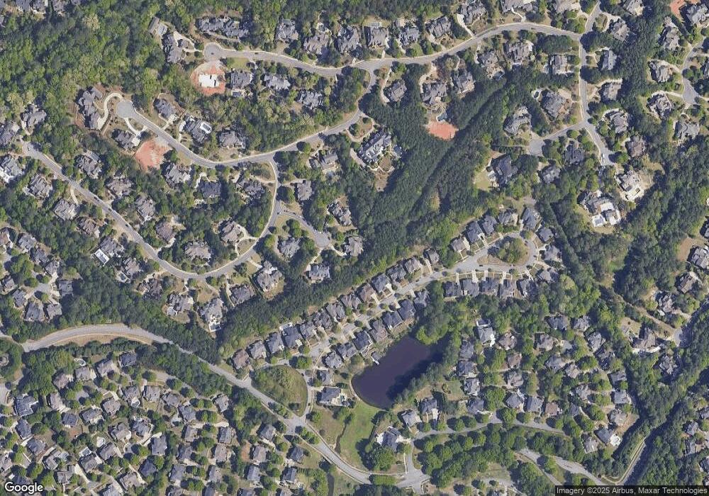
4721 Donnerund Way Suwanee, GA 30024
Estimated Value: $2,017,000 - $2,583,000
5
Beds
6
Baths
6,607
Sq Ft
$355/Sq Ft
Est. Value
About This Home
This home is located at 4721 Donnerund Way, Suwanee, GA 30024 and is currently estimated at $2,345,326, approximately $354 per square foot. 4721 Donnerund Way is a home located in Gwinnett County with nearby schools including Level Creek Elementary School, North Gwinnett Middle School, and North Gwinnett High School.
Ownership History
Date
Name
Owned For
Owner Type
Purchase Details
Closed on
Jun 7, 2009
Sold by
New South Fsb
Bought by
Mcdougal Daniel J and Mcdougal Jessica B
Current Estimated Value
Home Financials for this Owner
Home Financials are based on the most recent Mortgage that was taken out on this home.
Original Mortgage
$945,000
Outstanding Balance
$612,356
Interest Rate
5.25%
Mortgage Type
New Conventional
Estimated Equity
$1,732,970
Purchase Details
Closed on
Apr 7, 2009
Sold by
Myers Group Llc
Bought by
New South Fsb
Create a Home Valuation Report for This Property
The Home Valuation Report is an in-depth analysis detailing your home's value as well as a comparison with similar homes in the area
Home Values in the Area
Average Home Value in this Area
Purchase History
| Date | Buyer | Sale Price | Title Company |
|---|---|---|---|
| Mcdougal Daniel J | $1,050,000 | -- | |
| New South Fsb | $1,354,273 | -- |
Source: Public Records
Mortgage History
| Date | Status | Borrower | Loan Amount |
|---|---|---|---|
| Open | Mcdougal Daniel J | $945,000 |
Source: Public Records
Tax History Compared to Growth
Tax History
| Year | Tax Paid | Tax Assessment Tax Assessment Total Assessment is a certain percentage of the fair market value that is determined by local assessors to be the total taxable value of land and additions on the property. | Land | Improvement |
|---|---|---|---|---|
| 2024 | $31,703 | $887,240 | $195,480 | $691,760 |
| 2023 | $31,703 | $820,120 | $171,480 | $648,640 |
| 2022 | $25,647 | $714,880 | $157,960 | $556,920 |
| 2021 | $23,914 | $653,400 | $157,960 | $495,440 |
| 2020 | $24,130 | $653,400 | $157,960 | $495,440 |
| 2019 | $23,219 | $653,400 | $157,960 | $495,440 |
| 2018 | $19,500 | $544,880 | $118,280 | $426,600 |
| 2016 | $17,752 | $495,040 | $141,560 | $353,480 |
| 2015 | $17,977 | $495,040 | $141,560 | $353,480 |
| 2014 | $16,760 | $457,880 | $109,480 | $348,400 |
Source: Public Records
Map
Nearby Homes
- 771 Woodvale Point
- 829 Big Horn Hollow
- 4505 Whitestone Way
- 3450 Commander
- 962 Chattooga Trace
- 1094 Meadow Bluff Terrace
- 4734 Cuyahoga Cove
- 4763 Blackwater Way
- 4770 Spring Park Cir
- 1011 Crofton Landing Unit 1
- 5014 Dovecote Trail
- 4944 Dovecote Trail
- 4635 Whitestone Way
- 1191 Crofton Landing
- 755 Amberton Close Unit 2
- 878 Middle Fork Trail
- 4891 Tarry Post Ln
- 991 Moores Walk Ln
- 1001 Moores Walk Ln
- 981 Moores Walk Ln
- 981 Moores Walk Ln
- 981 Moores Walk Ln Unit 3
- 4711 Donnerund Way
- 1011 Moores Walk Ln
- 0 Moores Walk Ln Unit 7449510
- 0 Moores Walk Ln Unit 7359463
- 0 Moores Walk Ln Unit 7341266
- 0 Moores Walk Ln Unit 7320542
- 0 Moores Walk Ln Unit 7129010
- 0 Moores Walk Ln Unit 7057493
- 0 Moores Walk Ln Unit 3270908
- 0 Moores Walk Ln Unit 8816893
- 0 Moores Walk Ln Unit 8782419
- 0 Moores Walk Ln Unit 8699459
- 0 Moores Walk Ln Unit 8671792
- 0 Moores Walk Ln Unit 8601874
- 0 Moores Walk Ln Unit 8599169
