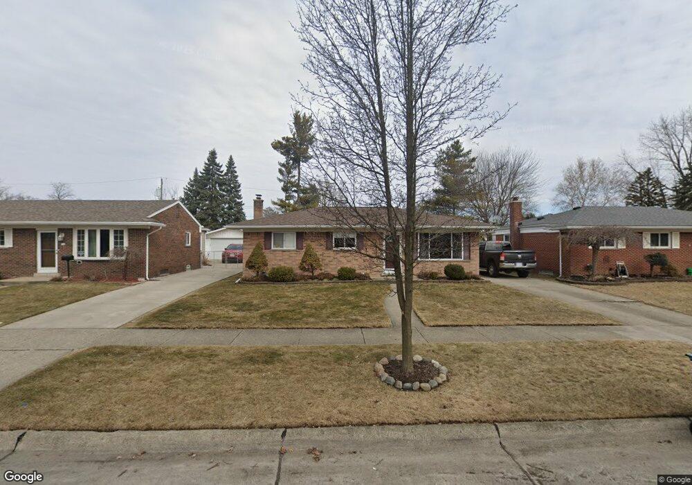
4721 Parent Ave Warren, MI 48092
Northwest Warren NeighborhoodEstimated Value: $243,060 - $297,000
3
Beds
1
Bath
1,352
Sq Ft
$206/Sq Ft
Est. Value
About This Home
This home is located at 4721 Parent Ave, Warren, MI 48092 and is currently estimated at $278,765, approximately $206 per square foot. 4721 Parent Ave is a home located in Macomb County with nearby schools including Lean Elementary School, Beer Middle School, and Warren Mott High School.
Ownership History
Date
Name
Owned For
Owner Type
Purchase Details
Closed on
Jun 23, 2016
Sold by
Morton Christiana and Morton Justin
Bought by
Morton Justin and Morton Christiana
Current Estimated Value
Home Financials for this Owner
Home Financials are based on the most recent Mortgage that was taken out on this home.
Original Mortgage
$73,000
Outstanding Balance
$32,679
Interest Rate
3.58%
Mortgage Type
New Conventional
Estimated Equity
$246,086
Purchase Details
Closed on
Oct 21, 2009
Sold by
Makowski Joseph
Bought by
Silk Christiana M
Create a Home Valuation Report for This Property
The Home Valuation Report is an in-depth analysis detailing your home's value as well as a comparison with similar homes in the area
Home Values in the Area
Average Home Value in this Area
Purchase History
| Date | Buyer | Sale Price | Title Company |
|---|---|---|---|
| Morton Justin | -- | Cislo Title Co | |
| Silk Christiana M | $99,900 | None Available |
Source: Public Records
Mortgage History
| Date | Status | Borrower | Loan Amount |
|---|---|---|---|
| Open | Morton Justin | $73,000 |
Source: Public Records
Tax History
| Year | Tax Paid | Tax Assessment Tax Assessment Total Assessment is a certain percentage of the fair market value that is determined by local assessors to be the total taxable value of land and additions on the property. | Land | Improvement |
|---|---|---|---|---|
| 2025 | $2,849 | $115,840 | $0 | $0 |
| 2024 | $28 | $104,370 | $0 | $0 |
| 2023 | $2,643 | $89,520 | $0 | $0 |
| 2022 | $2,553 | $80,570 | $0 | $0 |
| 2021 | $2,598 | $76,250 | $0 | $0 |
| 2020 | $2,505 | $72,790 | $0 | $0 |
| 2019 | $2,415 | $64,440 | $0 | $0 |
| 2018 | $69 | $57,200 | $0 | $0 |
| 2017 | $2,422 | $49,500 | $9,660 | $39,840 |
| 2016 | $2,420 | $49,500 | $0 | $0 |
| 2015 | -- | $45,420 | $0 | $0 |
| 2012 | -- | $43,790 | $0 | $0 |
Source: Public Records
Map
Nearby Homes
- 4769 Parent Ave
- 4772 Marian Ave
- 4453 Thornwood Ct Unit 101
- 4926 E 12 Mile Rd
- 4829 Wolgast Dr
- 4878 Wolgast Dr
- 28530 Ryan Rd
- 4348 Martin Rd
- 29229 van Laan Dr
- 29327 Orvylle Dr
- 4079 Sudbury Dr
- 28427 Wexford Dr
- 27443 Strathmoor Dr
- 29412 Woodpark Cir
- 27400 Milton Ave
- 27480 Grobbel Dr
- 5639 Heathdale Ave
- 5873 Elmgrove Ave
- 27233 Audrey Ave
- 29659 van Laan Dr
Your Personal Tour Guide
Ask me questions while you tour the home.