4721 Rainbow Dr Kannapolis, NC 28081
Estimated Value: $261,021 - $311,000
--
Bed
2
Baths
1,302
Sq Ft
$215/Sq Ft
Est. Value
About This Home
This home is located at 4721 Rainbow Dr, Kannapolis, NC 28081 and is currently estimated at $279,505, approximately $214 per square foot. 4721 Rainbow Dr is a home located in Rowan County with nearby schools including Landis Elementary School, Corriher Lipe Middle School, and South Rowan High School.
Ownership History
Date
Name
Owned For
Owner Type
Purchase Details
Closed on
Jun 25, 2007
Sold by
Bost Lori W
Bought by
Bost Christopher A
Current Estimated Value
Home Financials for this Owner
Home Financials are based on the most recent Mortgage that was taken out on this home.
Original Mortgage
$130,500
Interest Rate
6.37%
Mortgage Type
New Conventional
Create a Home Valuation Report for This Property
The Home Valuation Report is an in-depth analysis detailing your home's value as well as a comparison with similar homes in the area
Home Values in the Area
Average Home Value in this Area
Purchase History
| Date | Buyer | Sale Price | Title Company |
|---|---|---|---|
| Bost Christopher A | -- | None Available |
Source: Public Records
Mortgage History
| Date | Status | Borrower | Loan Amount |
|---|---|---|---|
| Closed | Bost Christopher A | $130,500 |
Source: Public Records
Tax History Compared to Growth
Tax History
| Year | Tax Paid | Tax Assessment Tax Assessment Total Assessment is a certain percentage of the fair market value that is determined by local assessors to be the total taxable value of land and additions on the property. | Land | Improvement |
|---|---|---|---|---|
| 2025 | $1,342 | $203,404 | $46,128 | $157,276 |
| 2024 | $1,342 | $203,404 | $46,128 | $157,276 |
| 2023 | $1,342 | $203,404 | $46,128 | $157,276 |
| 2022 | $915 | $124,020 | $29,829 | $94,191 |
| 2021 | $915 | $124,020 | $29,829 | $94,191 |
| 2020 | $915 | $124,020 | $29,829 | $94,191 |
| 2019 | $915 | $124,020 | $29,829 | $94,191 |
| 2018 | $805 | $110,050 | $29,867 | $80,183 |
| 2017 | $805 | $110,050 | $29,867 | $80,183 |
| 2016 | $714 | $98,988 | $29,867 | $69,121 |
| 2015 | $726 | $98,988 | $29,867 | $69,121 |
| 2014 | $695 | $96,515 | $24,889 | $71,626 |
Source: Public Records
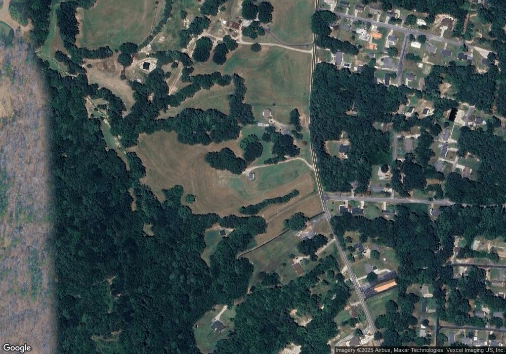
Map
Nearby Homes
- 1734 Shadowbrook Dr
- 1711 W C St
- 0000 Buffalo St
- 6124 Avalon Dr
- 1530 Buffalo St
- 113 Hilton Ave
- Lot 1 Arlene Ave
- 4648 Nob Hill Dr
- 304 Tanglewood Dr
- 6621 Charlie Walker Rd
- 122 Andrew St
- 116 Overcash Ave
- 115 Northcrest Dr
- 0 Winona Ave
- 117 S Enochville Ave
- 0 W C St Unit 2 CAR4255761
- 0 W C St Unit CAR4255556
- 150 Westover Ave
- 1408 Westwinds Ct
- 0 Enochville Ave Unit CAR4275012
- 4727 Rainbow Dr
- 4745 Rainbow Dr
- Rainbow Dr
- 4717 Rainbow Dr
- 4735 Rainbow Dr
- 4707 Rainbow Dr
- 2040 Rollingwood Dr
- 4702 Rainbow Dr
- 4699 Rainbow Dr
- 2020 Rollingwood Dr
- 2019 Rollingwood Dr
- 4730 Rainbow Dr
- 2018 Rollingwood Dr
- 1725 Shadowbrook Dr
- 4690 Rainbow Dr
- 1731 Shadowbrook Dr
- 2015 Rollingwood Dr
- 4687 Rainbow Dr
- 1733 Shadowbrook Dr
- 4725 Rainbow Dr