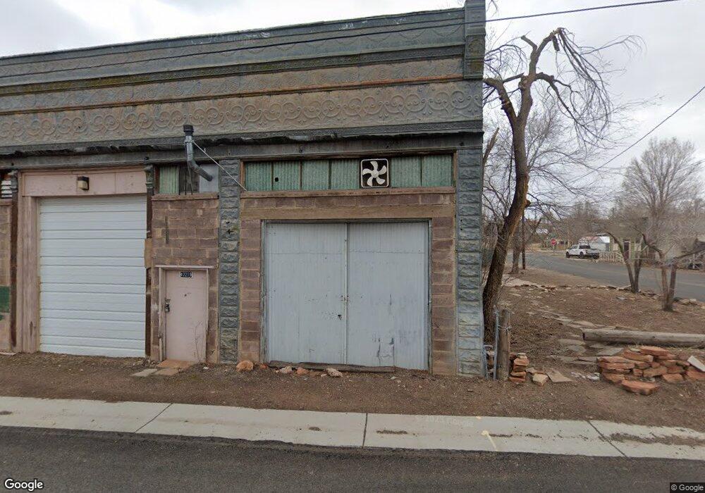
47219 3rd St Ash Fork, AZ 86320
Ash Fork NeighborhoodEstimated Value: $174,364
Studio
--
Bath
3,200
Sq Ft
$54/Sq Ft
Est. Value
About This Home
This home is located at 47219 3rd St, Ash Fork, AZ 86320 and is currently estimated at $174,364, approximately $54 per square foot. 47219 3rd St is a home located in Yavapai County with nearby schools including Ash Fork Elementary School, Ash Fork Middle School, and Ash Fork High School.
Ownership History
Date
Name
Owned For
Owner Type
Purchase Details
Closed on
Mar 20, 2020
Sold by
Jeremiah S International Trading Co Inc
Bought by
Blue Water Gold Alaska Inc
Current Estimated Value
Purchase Details
Closed on
Jul 7, 2014
Sold by
Equity Trust Company Custodian
Bought by
Jeremiah S International Trading Company
Purchase Details
Closed on
Aug 5, 2008
Sold by
Bonelli Joseph
Bought by
First Regional Bank and Greg L Crump Roth Ira #1638
Purchase Details
Closed on
Jul 26, 2002
Sold by
Bonelli Joseph
Bought by
Turner Andrew B and Turner Judy L
Home Financials for this Owner
Home Financials are based on the most recent Mortgage that was taken out on this home.
Original Mortgage
$26,914
Interest Rate
6.6%
Mortgage Type
Seller Take Back
Purchase Details
Closed on
Jun 4, 1998
Sold by
Madison Graham Dale and Estate Of Graham Bremond Madis
Bought by
Bonelli Joseph
Create a Home Valuation Report for This Property
The Home Valuation Report is an in-depth analysis detailing your home's value as well as a comparison with similar homes in the area
Home Values in the Area
Average Home Value in this Area
Purchase History
| Date | Buyer | Sale Price | Title Company |
|---|---|---|---|
| Blue Water Gold Alaska Inc | $22,500 | None Available | |
| Jeremiah S International Trading Company | $25,000 | Yavapai Title | |
| First Regional Bank | $41,527 | Empire Title Agency | |
| Turner Andrew B | $80,000 | -- | |
| Bonelli Joseph | $43,000 | Capital Title Agency |
Source: Public Records
Mortgage History
| Date | Status | Borrower | Loan Amount |
|---|---|---|---|
| Previous Owner | Turner Andrew B | $26,914 |
Source: Public Records
Tax History
| Year | Tax Paid | Tax Assessment Tax Assessment Total Assessment is a certain percentage of the fair market value that is determined by local assessors to be the total taxable value of land and additions on the property. | Land | Improvement |
|---|---|---|---|---|
| 2026 | $723 | -- | -- | -- |
| 2024 | $703 | -- | -- | -- |
| 2023 | $703 | $11,768 | $1,314 | $10,454 |
| 2022 | $642 | $8,781 | $958 | $7,823 |
| 2021 | $588 | $8,447 | $958 | $7,489 |
| 2020 | $592 | $0 | $0 | $0 |
| 2019 | $611 | $0 | $0 | $0 |
| 2018 | $658 | $0 | $0 | $0 |
| 2017 | $591 | $0 | $0 | $0 |
| 2016 | $552 | $0 | $0 | $0 |
| 2015 | -- | $0 | $0 | $0 |
| 2014 | -- | $0 | $0 | $0 |
Source: Public Records
Map
Nearby Homes
- 268 Park Ave
- 47115 N 2nd St
- 0 Ash Fork Unit AZ 86320
- 2576 W Roberts Rd
- 127 Lewis Ave
- 47077 N 5th St
- 11cxx Old Route 66
- 46812 N 8th St
- 644 Cortez Ranch Rd
- 10111 W Old Highway 66
- 0000 W Old Highway 66
- 8406 W Old Highway 66
- 202 Couchman's Trail
- 205 Couchman's Trail
- 996 Couchman's Trail Unit 204
- 2026 W Herman Way
- 00 N Trackside Trail Ln Unit 211
- 1550 W Joseph Dr
- 1802 Cumberland Rd
- 2392 Albert Way
Your Personal Tour Guide
Ask me questions while you tour the home.