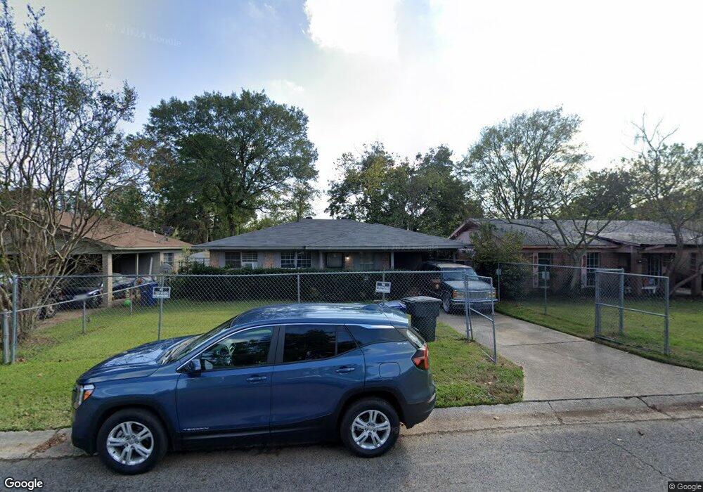
4722 Roberts Cir Shreveport, LA 71109
Mooretown and Hollywood Heights NeighborhoodEstimated Value: $38,000 - $56,000
3
Beds
1
Bath
1,055
Sq Ft
$46/Sq Ft
Est. Value
About This Home
This home is located at 4722 Roberts Cir, Shreveport, LA 71109 and is currently estimated at $48,119, approximately $45 per square foot. 4722 Roberts Cir is a home located in Caddo Parish with nearby schools including Oak Park Elementary School, Judson Fundamental Elementary School, and Fairfield Magnet School.
Ownership History
Date
Name
Owned For
Owner Type
Purchase Details
Closed on
Jun 28, 2024
Sold by
Parish Of Caddo
Bought by
Parish Of Caddo
Current Estimated Value
Purchase Details
Closed on
Apr 14, 2023
Sold by
Carroll Willie V
Bought by
Merrells Paul Samuel
Purchase Details
Closed on
Mar 19, 2010
Sold by
Ocwen Federal Bank Fsb
Bought by
Carroll Willie V and Carroll Milton
Create a Home Valuation Report for This Property
The Home Valuation Report is an in-depth analysis detailing your home's value as well as a comparison with similar homes in the area
Home Values in the Area
Average Home Value in this Area
Purchase History
| Date | Buyer | Sale Price | Title Company |
|---|---|---|---|
| Parish Of Caddo | $981 | None Listed On Document | |
| Merrells Paul Samuel | $25,000 | None Listed On Document | |
| Carroll Willie V | -- | None Available | |
| Carroll Willie V | -- | None Available |
Source: Public Records
Tax History Compared to Growth
Tax History
| Year | Tax Paid | Tax Assessment Tax Assessment Total Assessment is a certain percentage of the fair market value that is determined by local assessors to be the total taxable value of land and additions on the property. | Land | Improvement |
|---|---|---|---|---|
| 2024 | $662 | $4,247 | $656 | $3,591 |
| 2023 | $672 | $4,216 | $625 | $3,591 |
| 2022 | $672 | $4,216 | $625 | $3,591 |
| 2021 | $662 | $4,216 | $625 | $3,591 |
| 2020 | $662 | $4,216 | $625 | $3,591 |
| 2019 | $667 | $4,124 | $625 | $3,499 |
| 2018 | $531 | $4,124 | $625 | $3,499 |
| 2017 | $677 | $4,124 | $625 | $3,499 |
| 2015 | $537 | $4,140 | $630 | $3,510 |
| 2014 | $541 | $4,140 | $630 | $3,510 |
| 2013 | -- | $4,140 | $630 | $3,510 |
Source: Public Records
Map
Nearby Homes
- 4718 Gloria Cir
- 5222 Broadway Ave
- 5600 Norton St
- 4310 Saint Louis Ave
- 4302 Illinois Ave
- 4536 Curtis Ln
- 5415 Norton St
- 3841 Flora Ave
- 4031 Robin Ln
- 4228 Barbara Ave
- 3735 Tate St
- 4018 Golf Links Blvd
- 3718 Doris St
- 4814 Mcdaniel Dr
- Lot 1 Spanish Oak Cir
- 0 Miles St
- 4144 Marston Ave
- 3924 Miles St
- 3922 Miles St
- 3850 Lisa Ln
- 4724 Roberts Cir
- 4718 Roberts Cir
- 4714 Roberts Cir
- 4206 Jacobs St
- 4210 Jacobs St
- 4721 Roberts Cir
- 4153 Theo St
- 4725 Roberts Cir
- 4717 Roberts Cir
- 4717 Roberts Cir
- 4212 Jacobs St
- 4710 Roberts Cir
- 4729 Roberts Cir
- 4729 Roberts Cir
- 4713 Roberts Cir
- 4152 Theo St
- 4149 Theo St
- 4706 Roberts Cir
- 4152 Jacobs St
- 4709 Roberts Cir