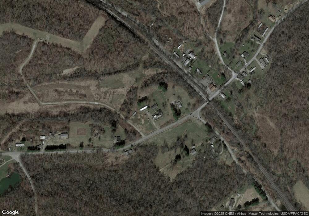
Estimated Value: $219,000 - $274,000
3
Beds
2
Baths
1,728
Sq Ft
$140/Sq Ft
Est. Value
About This Home
This home is located at 47224 Unionvale Rd Unit 47224, Cadiz, OH 43907 and is currently estimated at $241,244, approximately $139 per square foot. 47224 Unionvale Rd Unit 47224 is a home located in Harrison County with nearby schools including Harrison Central Elementary School and Harrison Central Junior/Senior High School.
Ownership History
Date
Name
Owned For
Owner Type
Purchase Details
Closed on
Sep 18, 2024
Sold by
Amy Investments Llc
Bought by
Blair Cathryn R and Gill Caleb
Current Estimated Value
Home Financials for this Owner
Home Financials are based on the most recent Mortgage that was taken out on this home.
Original Mortgage
$193,325
Outstanding Balance
$191,160
Interest Rate
6.49%
Mortgage Type
FHA
Estimated Equity
$50,084
Purchase Details
Closed on
Nov 15, 2023
Sold by
Barnhart Edward H
Bought by
Amy Investments Llc
Purchase Details
Closed on
May 23, 1994
Purchase Details
Closed on
Nov 20, 1989
Create a Home Valuation Report for This Property
The Home Valuation Report is an in-depth analysis detailing your home's value as well as a comparison with similar homes in the area
Home Values in the Area
Average Home Value in this Area
Purchase History
| Date | Buyer | Sale Price | Title Company |
|---|---|---|---|
| Blair Cathryn R | $220,000 | Northwest Title | |
| Blair Cathryn R | $220,000 | Northwest Title | |
| Amy Investments Llc | $69,000 | None Listed On Document | |
| -- | $18,000 | -- | |
| -- | $8,800 | -- |
Source: Public Records
Mortgage History
| Date | Status | Borrower | Loan Amount |
|---|---|---|---|
| Open | Blair Cathryn R | $193,325 | |
| Closed | Blair Cathryn R | $193,325 |
Source: Public Records
Tax History Compared to Growth
Tax History
| Year | Tax Paid | Tax Assessment Tax Assessment Total Assessment is a certain percentage of the fair market value that is determined by local assessors to be the total taxable value of land and additions on the property. | Land | Improvement |
|---|---|---|---|---|
| 2024 | $1,845 | $52,200 | $16,760 | $35,440 |
| 2023 | $1,845 | $45,050 | $12,600 | $32,450 |
| 2022 | $1,430 | $38,740 | $8,000 | $30,740 |
| 2021 | $1,085 | $38,740 | $8,000 | $30,740 |
| 2020 | $1,081 | $38,740 | $8,000 | $30,740 |
| 2019 | $931 | $34,590 | $7,140 | $27,450 |
| 2018 | $931 | $34,590 | $7,140 | $27,450 |
| 2017 | $943 | $34,590 | $7,140 | $27,450 |
| 2016 | $1,012 | $34,510 | $6,450 | $28,060 |
| 2015 | $1,350 | $34,510 | $6,450 | $28,060 |
| 2014 | $782 | $32,730 | $5,460 | $27,270 |
| 2013 | $782 | $32,730 | $5,460 | $27,270 |
Source: Public Records
Map
Nearby Homes
- 0 E Market St
- 804 E Market St
- 44208 Meadowlark Ln
- 265 Old Steubenville Pike
- 273 Old Steubenville Pike
- 0 N Main St Unit 5153554
- 388 N Main St
- 647 Kerr Ave
- 203 Roan Ave
- 207 Maplewood Dr
- 254 S Buffalo St
- 608 Kerr Ave
- 150 E South St
- 593 Dewey Ave
- 413 Saint Clair Ave
- 419 Saint Clair Ave
- 508 Lower Lincoln
- 616 Mccready Ave
- 324 Central St
- 812 Bakers Addition
- 47224 Unionvale Rd
- 47222 Unionvale Rd
- 47260 Unionvale Rd
- 47300 Unionvale Rd
- 47148 Unionvale Rd
- 0 Tomilson Rd #12
- 47169 Unionvale Rd Unit 12
- 81451 Unionvale Kenwood Rd
- 81564 Unionvale Kenwood Rd
- 47351 Unionvale Rd
- 81631 Dump Rd
- 47375 Unionvale Rd
- 47393 Unionvale Rd
- 47399 Unionvale Rd
- 81339 Unionvale Kenwood Rd
- 47040 Unionvale Rd
- 47458 Unionvale Rd
- 47480 Unionvale Rd
- 46977 Unionvale Rd
- 47510 Unionvale Rd
