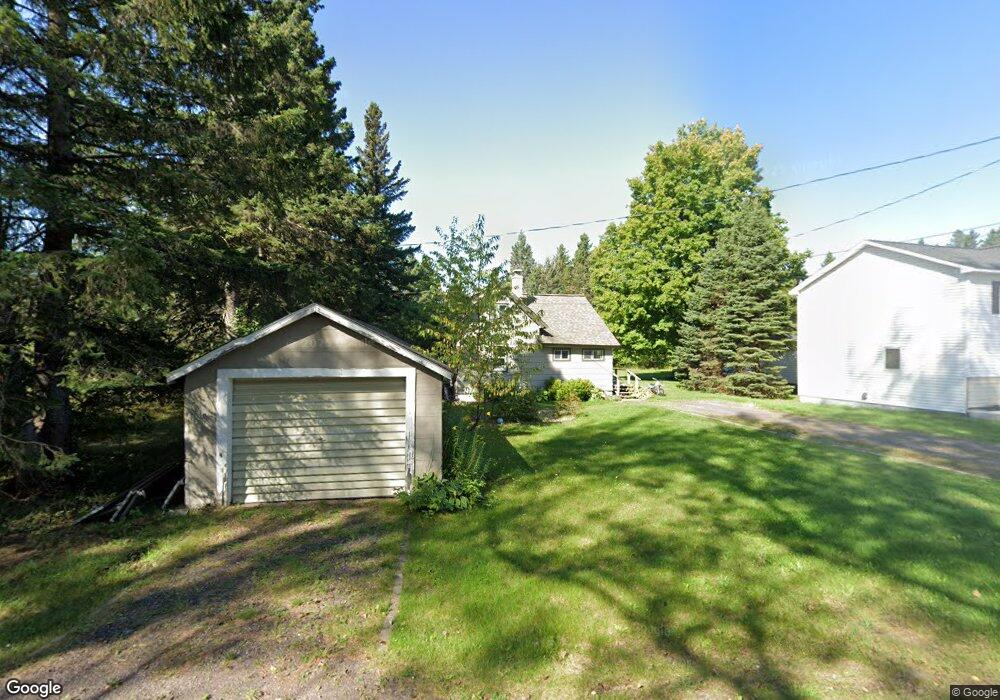
47225 Allouez St Atlantic Mine, MI 49905
Estimated Value: $246,000 - $321,000
2
Beds
1
Bath
1,100
Sq Ft
$250/Sq Ft
Est. Value
About This Home
This home is located at 47225 Allouez St, Atlantic Mine, MI 49905 and is currently estimated at $275,164, approximately $250 per square foot. 47225 Allouez St is a home located in Houghton County with nearby schools including South Range Elementary School and Jeffers High School.
Ownership History
Date
Name
Owned For
Owner Type
Purchase Details
Closed on
May 18, 2021
Sold by
Zerbst Joseph R and Zerbst Melinda S
Bought by
Heltunen Charlie
Current Estimated Value
Home Financials for this Owner
Home Financials are based on the most recent Mortgage that was taken out on this home.
Original Mortgage
$140,400
Outstanding Balance
$126,958
Interest Rate
2.96%
Mortgage Type
Construction
Estimated Equity
$148,206
Purchase Details
Closed on
Aug 18, 2014
Sold by
Larson Scott J and Larson Christy
Bought by
Zerbst Joseph R and Zerbst Melinda S
Create a Home Valuation Report for This Property
The Home Valuation Report is an in-depth analysis detailing your home's value as well as a comparison with similar homes in the area
Home Values in the Area
Average Home Value in this Area
Purchase History
| Date | Buyer | Sale Price | Title Company |
|---|---|---|---|
| Heltunen Charlie | $175,500 | Simplifile Lc E-Recording | |
| Zerbst Joseph R | $122,000 | -- |
Source: Public Records
Mortgage History
| Date | Status | Borrower | Loan Amount |
|---|---|---|---|
| Open | Heltunen Charlie | $140,400 |
Source: Public Records
Tax History Compared to Growth
Tax History
| Year | Tax Paid | Tax Assessment Tax Assessment Total Assessment is a certain percentage of the fair market value that is determined by local assessors to be the total taxable value of land and additions on the property. | Land | Improvement |
|---|---|---|---|---|
| 2025 | $3,181 | $123,050 | $0 | $0 |
| 2024 | $2,528 | $103,094 | $0 | $0 |
| 2023 | $2,409 | $95,896 | $0 | $0 |
| 2022 | $2,806 | $84,234 | $0 | $0 |
| 2021 | $2,329 | $69,222 | $0 | $0 |
| 2020 | $2,299 | $67,808 | $0 | $0 |
| 2019 | $2,303 | $67,903 | $0 | $0 |
| 2018 | $2,271 | $70,093 | $0 | $0 |
| 2017 | $2,223 | $67,177 | $0 | $0 |
| 2016 | -- | $65,091 | $0 | $0 |
| 2015 | -- | $72,437 | $0 | $0 |
| 2014 | -- | $68,277 | $0 | $0 |
Source: Public Records
Map
Nearby Homes
- 47474 Huron St
- TBD Huron St
- 46882 Naumkeg St
- 52275 N Superior Rd
- 17970 Spring Brook Ln
- 47302 Janovosky Rd
- 2103 Balsam Ln
- TBD-undeveloped Oak Ridge Ln
- 68 4th St
- 15710 Coles Creek Rd
- 1906 White Oak Ln
- 1607 W Quincy St
- 1905 Poplar Dr
- TBD32 Houghton Canal Rd
- 1506 Sugar Maple Ln
- 1504 Sugar Maple Ln
- 52097 Michigan 203
- 1401 Anthony St
- TBD A B C Navy Stream
- 2150 Jasberg St
- 47225 Allouez St
- 47235 Allouez St
- 47205 Allouez St
- 46993 Ontario St
- 46997 Allouez St
- 16889 Atlantic Ave
- 47208 Ontario St
- 16699 Obenhoff Rd
- 47101 Ontario St
- 47297 Douglas St
- 47220 Douglas St
- 17064 Atlantic Ave
- 47021 Ontario St
- 47266 Douglas St
- AD-1 & Lot 248 Ontario Rd
- 47327 Mine St
- 47362 Mine St
- 16687 Obenhoff Rd
- 46931 Ontario St
- 47052 Ontario St