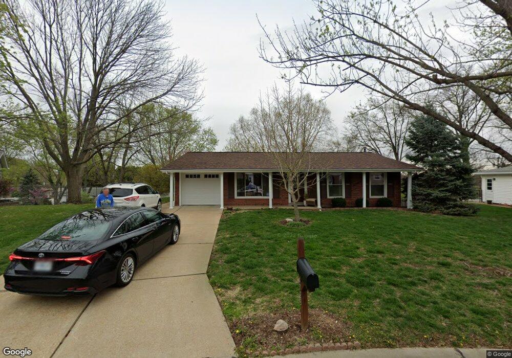
4723 Morestead Dr Saint Louis, MO 63128
Estimated Value: $312,000 - $372,000
About This Home
This home is located at 4723 Morestead Dr, Saint Louis, MO 63128 and is currently estimated at $337,310, approximately $281 per square foot. 4723 Morestead Dr is a home located in St. Louis County with nearby schools including Kennerly Elementary School, Sperreng Middle School, and Lindbergh High School.
Ownership History
We collect this data history from publicly available records. To have your information removed, we recommend requesting removal directly through your county’s website.
Purchase Details
Purchase Details
Home Financials for this Owner
Home Financials are based on the most recent Mortgage that was taken out on this home.Home Values in the Area
Average Home Value in this Area
Purchase History
We collect this data history from publicly available records. To have your information removed, we recommend requesting removal directly through your county’s website.
| Date | Buyer | Sale Price | Title Company |
|---|---|---|---|
| -- | None Available | ||
| -- | Abstar Title Company |
Mortgage History
We collect this data history from publicly available records. To have your information removed, we recommend requesting removal directly through your county’s website.
| Date | Status | Borrower | Loan Amount |
|---|---|---|---|
| Closed | $129,500 |
Tax History
We collect this data history from publicly available records. To have your information removed, we recommend requesting removal directly through your county’s website.
| Year | Tax Paid | Tax Assessment Tax Assessment Total Assessment is a certain percentage of the fair market value that is determined by local assessors to be the total taxable value of land and additions on the property. | Land | Improvement |
|---|---|---|---|---|
| 2025 | $3,048 | $58,820 | $14,930 | $43,890 |
| 2024 | $3,048 | $46,760 | $14,930 | $31,830 |
| 2023 | $3,041 | $46,760 | $14,930 | $31,830 |
| 2022 | $2,703 | $39,840 | $14,930 | $24,910 |
| 2021 | $2,607 | $39,840 | $14,930 | $24,910 |
| 2020 | $2,225 | $32,750 | $14,930 | $17,820 |
| 2019 | $2,219 | $32,750 | $14,930 | $17,820 |
| 2018 | $2,112 | $28,330 | $9,120 | $19,210 |
| 2017 | $2,089 | $28,330 | $9,120 | $19,210 |
| 2016 | $2,176 | $28,040 | $8,300 | $19,740 |
| 2015 | $2,143 | $28,040 | $8,300 | $19,740 |
| 2014 | $2,513 | $32,620 | $7,390 | $25,230 |
Map
- 4684 Venarde Dr
- 4833 Mattis Rd
- 4905 Milsmar Dr
- 4921 Brockwood Dr
- 4723 Langtree Dr
- 4817 Bankfield Ct
- 5105 Worthington Terrace Unit 42
- 12430 Somerset Place Dr
- 12364 Worthington Dr
- 12401 Somerset Place Dr Unit E
- 4513 Du Bourg Ln
- 12415 Somerset Place Dr Unit F
- 4657 Skyridge Ct
- 12586 Chardin Place Unit 4
- 10017 Chardin Way Unit 3
- 12574 Chardin Place Unit 4
- 5032 Kempf Dr
- 12587 Chardin Place Unit 4
- 4768 Longspur Dr
- 4902 Brunston Dr
- 4717 Morestead Dr
- 4912 Mattis Rd
- 4729 Morestead Dr
- 4920 Mattis Rd
- 4906 Mattis Rd
- 4736 Morestead Dr
- 4928 Mattis Rd
- 4705 Morestead Dr
- 4735 Morestead Dr
- 4737 Towne S
- 4742 Morestead Dr
- 4701 Towne South Rd
- 4741 Morestead Dr
- 4737 Towne South Rd
- 4911 Mattis Rd
- 4743 Towne Rd S
- 4907 Mattis Rd
- 4743 Towne South Rd
- 4748 Morestead Dr
- 4919 Mattis Rd
Ask me questions while you tour the home.