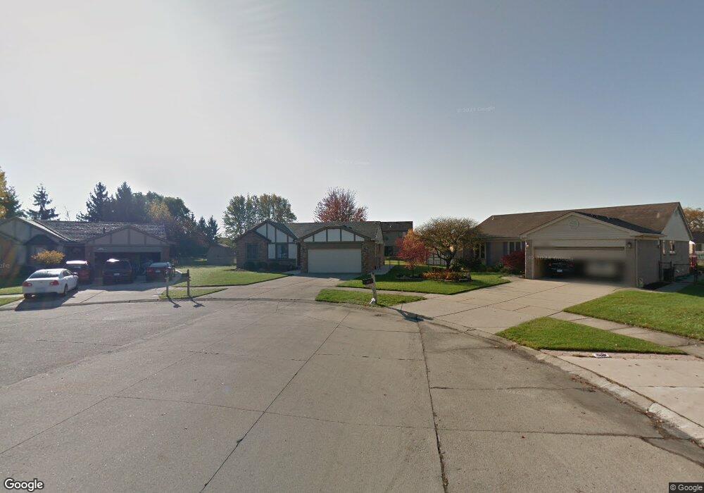
47238 Nola Dr Macomb, MI 48044
Estimated Value: $318,000 - $354,000
Studio
1
Bath
1,438
Sq Ft
$236/Sq Ft
Est. Value
About This Home
This home is located at 47238 Nola Dr, Macomb, MI 48044 and is currently estimated at $339,087, approximately $235 per square foot. 47238 Nola Dr is a home located in Macomb County with nearby schools including Mohawk Elementary School, Iroquois Middle School, and Dakota High School.
Ownership History
Date
Name
Owned For
Owner Type
Purchase Details
Closed on
Sep 25, 2007
Sold by
Shirey Raymond E and Shirey Constance B
Bought by
Walezak Michael M
Current Estimated Value
Home Financials for this Owner
Home Financials are based on the most recent Mortgage that was taken out on this home.
Original Mortgage
$12,000
Interest Rate
6.49%
Mortgage Type
Stand Alone Second
Purchase Details
Closed on
Aug 30, 2002
Sold by
Kirchhoff Robert
Bought by
Shirey Raymond E
Create a Home Valuation Report for This Property
The Home Valuation Report is an in-depth analysis detailing your home's value as well as a comparison with similar homes in the area
Home Values in the Area
Average Home Value in this Area
Purchase History
| Date | Buyer | Sale Price | Title Company |
|---|---|---|---|
| Walezak Michael M | $185,000 | Greco | |
| Shirey Raymond E | $189,500 | -- |
Source: Public Records
Mortgage History
| Date | Status | Borrower | Loan Amount |
|---|---|---|---|
| Closed | Walezak Michael M | $12,000 | |
| Open | Walezak Michael M | $148,000 |
Source: Public Records
Tax History
| Year | Tax Paid | Tax Assessment Tax Assessment Total Assessment is a certain percentage of the fair market value that is determined by local assessors to be the total taxable value of land and additions on the property. | Land | Improvement |
|---|---|---|---|---|
| 2025 | $2,433 | $153,300 | $0 | $0 |
| 2024 | $24 | $147,800 | $0 | $0 |
| 2023 | $2,244 | $138,800 | $0 | $0 |
| 2022 | $2,787 | $121,700 | $0 | $0 |
| 2021 | $2,712 | $114,300 | $0 | $0 |
| 2020 | $2,059 | $109,700 | $0 | $0 |
| 2019 | $2,509 | $103,800 | $0 | $0 |
| 2018 | $2,456 | $96,700 | $0 | $0 |
| 2017 | $2,406 | $91,850 | $30,000 | $61,850 |
| 2016 | $2,282 | $91,880 | $0 | $0 |
| 2015 | $2,252 | $86,930 | $0 | $0 |
| 2014 | $2,252 | $75,730 | $21,000 | $54,730 |
| 2011 | $432 | $72,920 | $18,500 | $54,420 |
Source: Public Records
Map
Nearby Homes
- 47192 Sanborn Dr
- 46980 Country Ln Unit 8
- 46784 Country Ln Unit 18
- 17456 Judy Ct
- 46813 Fox Run Dr
- 17115 Scarborough Dr Unit 562
- 17903 Red Oaks Dr
- 47825 Chrys Rd
- 46101 Allenton Dr
- 16213 Haverhill Dr
- 47821 Concord Rd
- 48088 Greenbriar Dr
- 17014 Newbury Ave Unit 93
- 48670 Arnold Dr
- 48711 Cross Creek Dr
- 16431 Dominion Dr Unit 235
- 17025 Crosbydale St
- 45691 Heather Ridge Dr Unit 221
- 45679 Heather Ridge Dr Unit 216
- 50675-50811 Romeo Plank Rd
- 47256 Nola Dr
- 47261 Nola Dr
- 17037 Compania Dr
- 17055 Compania Dr
- 17013 Compania Dr
- 47277 Nola Dr
- 47272 Nola Dr
- 16991 Compania Dr Unit Bldg-Unit
- 16991 Compania Dr
- 47298 Nola Dr
- 47303 Nola Dr
- 47220 Sarnus Dr
- 47288 Napoli Ln
- 47262 Napoli Ln
- 47251 Stephanie Dr
- 47265 Stephanie Dr
- 47237 Stephanie Dr
- 47324 Nola Dr
- 47314 Napoli Ln
- 47329 Nola Dr
Your Personal Tour Guide
Ask me questions while you tour the home.