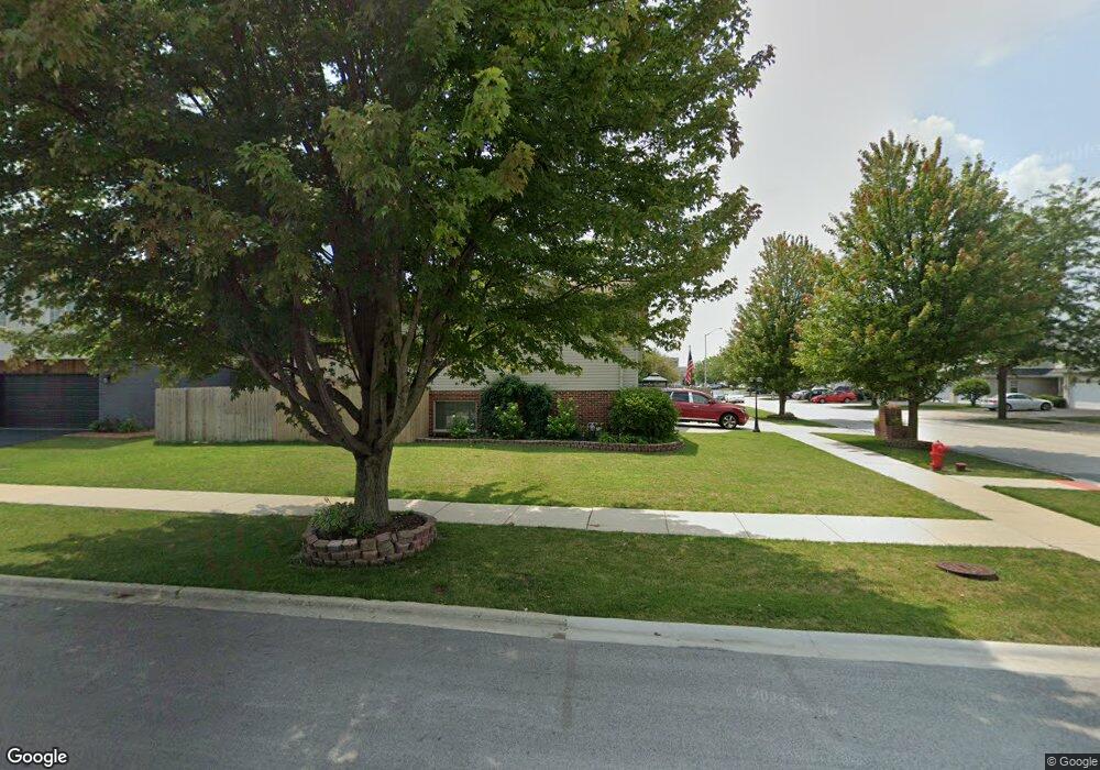
4725 Oakridge Ave Oak Forest, IL 60452
Estimated Value: $262,000 - $388,000
3
Beds
2
Baths
1,291
Sq Ft
$247/Sq Ft
Est. Value
About This Home
This home is located at 4725 Oakridge Ave, Oak Forest, IL 60452 and is currently estimated at $318,968, approximately $247 per square foot. 4725 Oakridge Ave is a home located in Cook County with nearby schools including Kimberly Heights Elementary School, Scarlet Oak Elementary School, and Arbor Park Middle School.
Ownership History
Date
Name
Owned For
Owner Type
Purchase Details
Closed on
Jul 29, 1999
Sold by
Bridgeview Bank & Trust
Bought by
Ketter Henry D and Ketter Michelle L
Current Estimated Value
Home Financials for this Owner
Home Financials are based on the most recent Mortgage that was taken out on this home.
Original Mortgage
$169,922
Outstanding Balance
$48,944
Interest Rate
7.68%
Mortgage Type
FHA
Estimated Equity
$270,024
Purchase Details
Closed on
Apr 22, 1999
Sold by
First National Bank Of Blue Island
Bought by
Bridgeview Bank & Trust and Trust #1-2712
Create a Home Valuation Report for This Property
The Home Valuation Report is an in-depth analysis detailing your home's value as well as a comparison with similar homes in the area
Home Values in the Area
Average Home Value in this Area
Purchase History
| Date | Buyer | Sale Price | Title Company |
|---|---|---|---|
| Ketter Henry D | $155,500 | -- | |
| Bridgeview Bank & Trust | $39,000 | -- |
Source: Public Records
Mortgage History
| Date | Status | Borrower | Loan Amount |
|---|---|---|---|
| Open | Ketter Henry D | $169,922 |
Source: Public Records
Tax History Compared to Growth
Tax History
| Year | Tax Paid | Tax Assessment Tax Assessment Total Assessment is a certain percentage of the fair market value that is determined by local assessors to be the total taxable value of land and additions on the property. | Land | Improvement |
|---|---|---|---|---|
| 2024 | $8,566 | $27,000 | $4,950 | $22,050 |
| 2023 | $6,460 | $27,000 | $4,950 | $22,050 |
| 2022 | $6,460 | $17,287 | $4,275 | $13,012 |
| 2021 | $6,341 | $17,287 | $4,275 | $13,012 |
| 2020 | $6,213 | $17,287 | $4,275 | $13,012 |
| 2019 | $6,630 | $18,205 | $3,825 | $14,380 |
| 2018 | $6,482 | $18,205 | $3,825 | $14,380 |
| 2017 | $6,478 | $18,205 | $3,825 | $14,380 |
| 2016 | $5,680 | $15,014 | $3,375 | $11,639 |
| 2015 | $5,462 | $15,014 | $3,375 | $11,639 |
| 2014 | $5,351 | $15,014 | $3,375 | $11,639 |
| 2013 | $6,111 | $18,585 | $3,375 | $15,210 |
Source: Public Records
Map
Nearby Homes
- 16465 Roy St
- 16453 Harold St
- 4401 Adele Ln
- 16740 Forest Ave
- 16224 S Cicero Ave
- 16409 Craig Dr
- 16524 Brockton Ln
- 4348 Mann St
- 4363 Henry St
- 16104 Oak Ave
- 4316 Mann St
- 16934 Cicero Ave
- 5112 Deerpath Rd Unit 4
- 16938 Cicero Ave
- 4230 Barry Ln
- 5103 Elmwood Rd
- 5150 Shadow Creek Dr Unit 4
- 5256 169th Place
- 5185 Greentree Rd
- 15240 S Cicero Ave
- 4717 Oakridge Ave
- 4726 Newberry Ave
- 4709 Oakridge Ave
- 4718 Newberry Ave
- 16530 Knottingwood Ave
- 16530 Knottingwood Ave Unit 1
- 16532 Knottingwood Ave
- 16536 Knottingwood Ave
- 16536 Knottingwood Ave Unit 1
- 16534 Knottingwood Ave
- 16526 Knottingwood Ave
- 16524 Knottingwood Ave
- 4710 Newberry Ave
- 4726 Oakridge Ave
- 4701 Oakridge Ave
- 4718 Oakridge Ave
- 16522 Knottingwood Ave
- 16522 Knottingwood Ave Unit 1652
- 16520 Knottingwood Ave