472623 E 1070 Rd Muldrow, OK 74948
Estimated Value: $122,000 - $283,629
3
Beds
2
Baths
2,784
Sq Ft
$76/Sq Ft
Est. Value
About This Home
This home is located at 472623 E 1070 Rd, Muldrow, OK 74948 and is currently estimated at $210,907, approximately $75 per square foot. 472623 E 1070 Rd is a home located in Sequoyah County with nearby schools including Muldrow Elementary School, Muldrow Middle School, and Muldrow High School.
Ownership History
Date
Name
Owned For
Owner Type
Purchase Details
Closed on
May 18, 2021
Sold by
Green Jerry D and Green Shirley J
Bought by
Green Marty and Green Robin
Current Estimated Value
Purchase Details
Closed on
Nov 5, 2018
Sold by
Weisenfels Judy and Weisenfels Matthew
Bought by
Green Marty and Green Robin
Purchase Details
Closed on
Dec 9, 2016
Sold by
London Jack and London Robin
Bought by
Green Marty D and Green Robin R
Home Financials for this Owner
Home Financials are based on the most recent Mortgage that was taken out on this home.
Original Mortgage
$140,000
Interest Rate
3.54%
Mortgage Type
Future Advance Clause Open End Mortgage
Create a Home Valuation Report for This Property
The Home Valuation Report is an in-depth analysis detailing your home's value as well as a comparison with similar homes in the area
Purchase History
| Date | Buyer | Sale Price | Title Company |
|---|---|---|---|
| Green Marty | $175,000 | None Available | |
| Green Marty | $175,000 | None Listed On Document | |
| Green Marty | $51,000 | None Available | |
| Green Marty D | $128,700 | None Available |
Source: Public Records
Mortgage History
| Date | Status | Borrower | Loan Amount |
|---|---|---|---|
| Previous Owner | Green Marty D | $140,000 |
Source: Public Records
Tax History
| Year | Tax Paid | Tax Assessment Tax Assessment Total Assessment is a certain percentage of the fair market value that is determined by local assessors to be the total taxable value of land and additions on the property. | Land | Improvement |
|---|---|---|---|---|
| 2025 | $917 | $13,900 | $1,724 | $12,176 |
| 2024 | $917 | $13,496 | $1,674 | $11,822 |
| 2023 | $888 | $13,103 | $1,674 | $11,429 |
| 2022 | $833 | $12,722 | $1,674 | $11,048 |
| 2021 | $828 | $12,656 | $1,674 | $10,982 |
| 2020 | $827 | $12,639 | $1,672 | $10,967 |
| 2019 | $844 | $12,876 | $704 | $12,172 |
| 2018 | $863 | $13,142 | $697 | $12,445 |
| 2017 | $836 | $12,759 | $666 | $12,093 |
| 2016 | $809 | $12,388 | $640 | $11,748 |
| 2015 | $784 | $12,028 | $604 | $11,424 |
| 2014 | $759 | $11,677 | $570 | $11,107 |
Source: Public Records
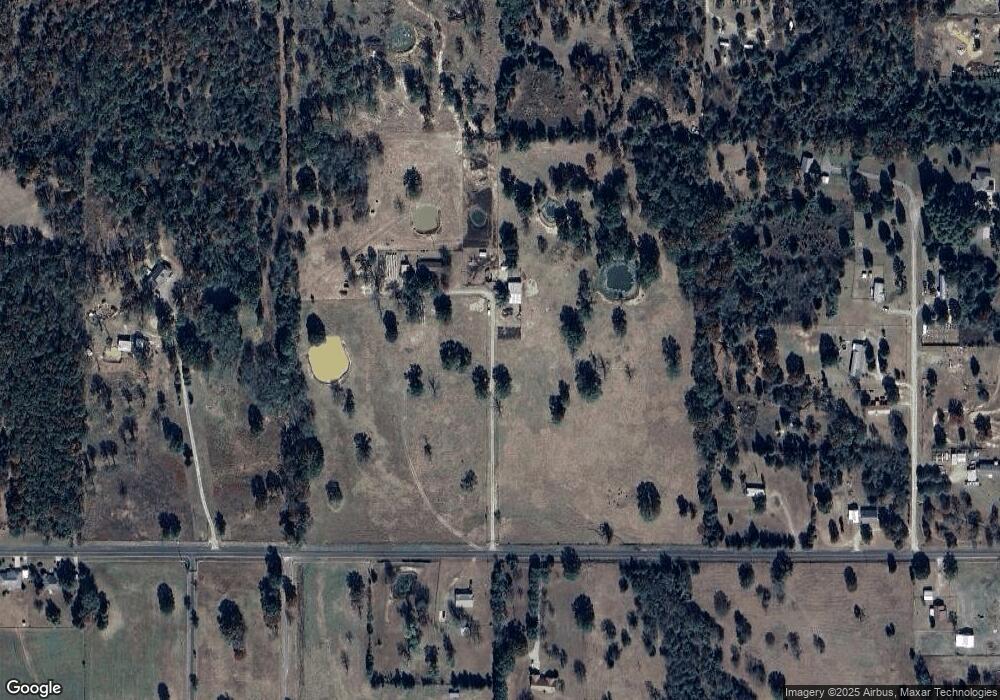
Map
Nearby Homes
- 471804 E 1070 Rd
- 107774 S 4720
- 106078 S 4715 Rd
- 108412 S 4720 Rd
- 109635 S 4720 Rd
- 105750 S 4700 Rd
- 106438 S 4757 Rd
- Tbd Water Tower Rd
- 110 Water Tower Rd
- 203 Pendergrass St
- 106219 S 4757 Rd
- 469517 E 1060 Rd
- 103891 Oklahoma 64b
- 701 N Oak St
- TBD S 4720 Rd
- 103 NE 1st St
- 1505 Cherokee Rd
- 109365 S 4749 Rd
- 475531 E 1050 Rd
- 103756 Oklahoma 64b
- 472555 E 1070 Rd
- 472602 E 1070 Rd
- 106814 S 4728 Rd
- 472650 E 1070 Rd
- 106639 S 4727 Rd
- 106862 S 4728 Rd
- 106642 S 4727 Rd
- 472360 E 1070 Rd
- 472460 E 1065 Rd
- 104290 S 4739 Rd
- 472847 E 1070 Rd
- 472316 E 1070 Rd
- n/a S 4727 Rd
- 107165 S 4725 Rd
- 00 E 1065 Rd
- 106814 State Highway 64b
- 106553 S 4727 Rd
- 472258 E 1070 Rd
- 472284 E 1065 Rd
- 472440 E 1070 Rd
Your Personal Tour Guide
Ask me questions while you tour the home.