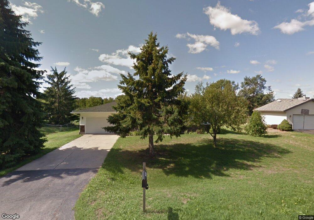
4727 Crown Point Rd Roscoe, IL 61073
Estimated Value: $237,459 - $239,000
3
Beds
2
Baths
1,124
Sq Ft
$212/Sq Ft
Est. Value
About This Home
This home is located at 4727 Crown Point Rd, Roscoe, IL 61073 and is currently estimated at $238,365, approximately $212 per square foot. 4727 Crown Point Rd is a home located in Winnebago County with nearby schools including Ledgewood Elementary School, Kinnikinnick School, and Stone Creek School.
Ownership History
Date
Name
Owned For
Owner Type
Purchase Details
Closed on
Aug 3, 2020
Sold by
Phelan Robert M and Phelan Barbara J
Bought by
Berkland Development Llc
Current Estimated Value
Purchase Details
Closed on
Jul 30, 2020
Sold by
Phelan Robert M and Phelan Barbara J
Bought by
Berkland Development Llc
Create a Home Valuation Report for This Property
The Home Valuation Report is an in-depth analysis detailing your home's value as well as a comparison with similar homes in the area
Home Values in the Area
Average Home Value in this Area
Purchase History
We collect this data history from publicly available records. To have your information removed, we recommend requesting removal directly through your county’s website.
| Date | Buyer | Sale Price | Title Company |
|---|---|---|---|
| Berkland Development Llc | $131,000 | Meason James E | |
| Berkland Development Llc | $131,000 | Meason James E | |
| Berkland Development Llc | $131,000 | Meason James E |
Source: Public Records
Tax History
| Year | Tax Paid | Tax Assessment Tax Assessment Total Assessment is a certain percentage of the fair market value that is determined by local assessors to be the total taxable value of land and additions on the property. | Land | Improvement |
|---|---|---|---|---|
| 2024 | $4,462 | $54,098 | $12,654 | $41,444 |
| 2022 | $4,004 | $44,381 | $10,381 | $34,000 |
| 2021 | $3,843 | $41,692 | $9,752 | $31,940 |
| 2020 | $3,782 | $40,178 | $9,398 | $30,780 |
| 2019 | $3,695 | $38,378 | $8,977 | $29,401 |
| 2018 | $3,508 | $36,877 | $8,626 | $28,251 |
| 2017 | $3,608 | $35,568 | $8,320 | $27,248 |
| 2016 | $3,466 | $34,998 | $8,187 | $26,811 |
| 2015 | $3,330 | $33,998 | $7,953 | $26,045 |
| 2014 | $3,067 | $33,568 | $7,852 | $25,716 |
Source: Public Records
Map
Nearby Homes
- 11392 Mount Vernon Rd
- 11392 Edgemere Terrace
- 11785 Balsa Ln
- 10458 Main St
- 12014 Baneberry Dr
- 11103 Downing Ln
- 3941 Joan Dr
- 11891 Tresemer Rd
- 10945 Meadowsweet Ln
- 3620 Valerie Rd
- 11188 3rd St
- 5710 Willow Creek Ln
- 12715 Waltham Close
- 12104 Joncey Dr
- 4802 Pipers Way
- 10205 Monarch Rd
- 148 Sandhurst Dr
- 10050 Skipperling Rd Unit 1
- 638 Merrion Rd
- 11687 Tranary Ct
- 4745 Crown Point Rd
- 4719 Crown Point Rd
- 4670 Wild Deer Ct
- 4763 Crown Point Rd
- 4678 Wild Deer Ct
- 11463 Cedarbrook Rd
- 11515 Cedarbrook Rd
- 4738 Crown Point Rd
- 4662 Wild Deer Ct
- 11449 Cedarbrook Rd
- 4782 Crown Point Rd
- 4779 Crown Point Rd
- 11541 Cedarbrook Rd
- 4686 Wild Deer Ct
- 4830 Crown Point Rd
- 4730 Wild Deer Trail
- 4654 Wild Deer Ct
- 4803 Crown Point Rd
- 4752 Wild Deer Trail
- 11569 Cedarbrook Rd
Your Personal Tour Guide
Ask me questions while you tour the home.