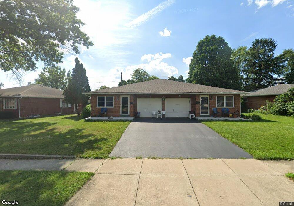
4727 Maize Rd Unit 729 Columbus, OH 43229
Woodward Park NeighborhoodEstimated Value: $305,843 - $364,000
4
Beds
2
Baths
2,020
Sq Ft
$165/Sq Ft
Est. Value
About This Home
This home is located at 4727 Maize Rd Unit 729, Columbus, OH 43229 and is currently estimated at $333,961, approximately $165 per square foot. 4727 Maize Rd Unit 729 is a home located in Franklin County with nearby schools including Valley Forge Elementary School, Woodward Park Middle School, and Northland High School.
Ownership History
Date
Name
Owned For
Owner Type
Purchase Details
Closed on
Jul 26, 2017
Sold by
Mascari Louis J
Bought by
Mathew Paul M and Mascari Paula M
Current Estimated Value
Purchase Details
Closed on
Oct 23, 2001
Sold by
Mascari Mary A
Bought by
Mascari Paula M and Mascari Louis J
Purchase Details
Closed on
Feb 10, 1989
Bought by
Mascari Mary A Le
Purchase Details
Closed on
Feb 1, 1987
Purchase Details
Closed on
Oct 1, 1986
Create a Home Valuation Report for This Property
The Home Valuation Report is an in-depth analysis detailing your home's value as well as a comparison with similar homes in the area
Home Values in the Area
Average Home Value in this Area
Purchase History
| Date | Buyer | Sale Price | Title Company |
|---|---|---|---|
| Mathew Paul M | $60,800 | None Available | |
| Mascari Paula M | -- | -- | |
| Mascari Mary A Le | -- | -- | |
| -- | $74,000 | -- | |
| -- | $74,000 | -- |
Source: Public Records
Tax History
| Year | Tax Paid | Tax Assessment Tax Assessment Total Assessment is a certain percentage of the fair market value that is determined by local assessors to be the total taxable value of land and additions on the property. | Land | Improvement |
|---|---|---|---|---|
| 2025 | $3,896 | $95,590 | $20,860 | $74,730 |
| 2024 | $3,896 | $95,590 | $20,860 | $74,730 |
| 2023 | $3,874 | $95,590 | $20,860 | $74,730 |
| 2022 | $2,253 | $51,560 | $13,020 | $38,540 |
| 2021 | $2,257 | $51,560 | $13,020 | $38,540 |
| 2020 | $2,260 | $51,560 | $13,020 | $38,540 |
| 2019 | $2,004 | $41,270 | $10,430 | $30,840 |
| 2018 | $2,035 | $41,270 | $10,430 | $30,840 |
| 2017 | $2,003 | $41,270 | $10,430 | $30,840 |
| 2016 | $2,276 | $42,560 | $9,730 | $32,830 |
| 2015 | $2,070 | $42,560 | $9,730 | $32,830 |
| 2014 | $2,064 | $42,390 | $9,730 | $32,660 |
| 2013 | $1,143 | $46,515 | $10,220 | $36,295 |
Source: Public Records
Map
Nearby Homes
- 1116 Tulsa Dr
- 1144 Reed Circle Dr
- 4800 Bourke Rd
- 4795 Colonel Perry Dr
- 1485 Norma Rd
- 4923 Karl Rd Unit 4925
- 5004 Julie Place
- 5010 Julie Place
- 4605 Glenmawr Ave
- 4450 N 4th St
- 1130 Carbone Dr
- 1685 Norma Rd
- 4320 Sandy Lane Rd
- 4143 Karl Rd Unit 215
- 4143 Karl Rd Unit 314
- 4145 Karl Rd Unit 223
- 4852 Snowbird Cir Unit 13B
- 952 Minerva Ave
- 940 Minerva Ave
- 4857 Tamarack Blvd
- 4737 Maize Rd
- 4711 Maize Rd Unit 713
- 4728 Esterbrook Rd
- 4736 Esterbrook Rd
- 4749 Maize Rd
- 4718 Esterbrook Rd Unit 720
- 4718-4720 Esterbrook Rd
- 4748 Esterbrook Rd
- 1250 Fenceway Dr
- 4732 Maize Rd
- 4757 Maize Rd
- 1253 Maize Ct
- 4756 Esterbrook Rd
- 1258 Fenceway Dr
- 4764 Esterbrook Rd
- 1234 Morse Rd
- 4765 Maize Rd
- 4711 Esterbrook Rd Unit 713
- 4731 Esterbrook Rd
- 1265 Maize Ct
Your Personal Tour Guide
Ask me questions while you tour the home.