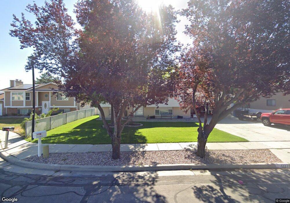
4727 S Spicewood Cir Taylorsville, UT 84129
Estimated Value: $488,000 - $523,000
4
Beds
2
Baths
1,886
Sq Ft
$269/Sq Ft
Est. Value
About This Home
This home is located at 4727 S Spicewood Cir, Taylorsville, UT 84129 and is currently estimated at $508,160, approximately $269 per square foot. 4727 S Spicewood Cir is a home located in Salt Lake County with nearby schools including Harry S Truman Elementary School, Eisenhower Jr High School, and Taylorsville High School.
Ownership History
Date
Name
Owned For
Owner Type
Purchase Details
Closed on
Aug 28, 2013
Sold by
Affleck Larry and Affleck Twila
Bought by
Smith David L and Smith Jennifer C
Current Estimated Value
Home Financials for this Owner
Home Financials are based on the most recent Mortgage that was taken out on this home.
Original Mortgage
$98,000
Outstanding Balance
$72,928
Interest Rate
4.33%
Mortgage Type
New Conventional
Estimated Equity
$435,232
Purchase Details
Closed on
Jul 12, 2002
Sold by
Affleck Twila B and Affleck Larry
Bought by
Affleck Larry and Affleck Twila B
Home Financials for this Owner
Home Financials are based on the most recent Mortgage that was taken out on this home.
Original Mortgage
$102,500
Interest Rate
6.69%
Create a Home Valuation Report for This Property
The Home Valuation Report is an in-depth analysis detailing your home's value as well as a comparison with similar homes in the area
Home Values in the Area
Average Home Value in this Area
Purchase History
| Date | Buyer | Sale Price | Title Company |
|---|---|---|---|
| Smith David L | -- | First American Title | |
| Affleck Larry | -- | Title West |
Source: Public Records
Mortgage History
| Date | Status | Borrower | Loan Amount |
|---|---|---|---|
| Open | Smith David L | $98,000 | |
| Previous Owner | Affleck Larry | $102,500 |
Source: Public Records
Tax History Compared to Growth
Tax History
| Year | Tax Paid | Tax Assessment Tax Assessment Total Assessment is a certain percentage of the fair market value that is determined by local assessors to be the total taxable value of land and additions on the property. | Land | Improvement |
|---|---|---|---|---|
| 2025 | $2,650 | $503,200 | $152,800 | $350,400 |
| 2024 | $2,650 | $434,600 | $128,500 | $306,100 |
| 2023 | $2,316 | $372,600 | $123,600 | $249,000 |
| 2022 | $2,342 | $380,000 | $121,200 | $258,800 |
| 2021 | $2,042 | $288,600 | $93,200 | $195,400 |
| 2020 | $1,963 | $262,600 | $93,200 | $169,400 |
| 2019 | $2,008 | $262,300 | $87,900 | $174,400 |
| 2018 | $2,052 | $258,300 | $87,900 | $170,400 |
| 2017 | $1,773 | $234,600 | $87,900 | $146,700 |
| 2016 | $1,729 | $228,600 | $87,900 | $140,700 |
| 2015 | $1,550 | $191,600 | $87,100 | $104,500 |
| 2014 | $1,521 | $184,600 | $84,400 | $100,200 |
Source: Public Records
Map
Nearby Homes
- 4717 Spicewood Way
- 2752 Santex Cir
- 3055 Westcove Dr
- 4571 S Stonewood Dr
- 2767 W Lacewood Dr Unit T-149
- 4483 S Parkbury Way
- 4482 S Stonington Way
- 3238 W 4630 S
- 2717 W Redwick Ct
- 3288 W 4700 S
- 2892 Roxborough Ct
- 4892 S Snarr Haven Ct
- 2658 W Scarsdale Ct Unit 49
- 2306 Bonniebrook Cir
- 4414 S 3200 W
- 2604 W West Central Park Way
- 4497 S Edgeware Ln
- 4533 S Knightsbridge Rd
- 4318 S King Arthur Dr
- 4831 S 3475 W
- 4727 Spicewood Cir
- 4717 Spicewood Cir
- 4717 S Spicewood Cir
- 4735 Spicewood Cir
- 4735 S Spicewood Cir
- 2842 W Sable Ave
- 2842 Sable Ave
- 4722 Rockface Dr
- 4710 Rockface Dr
- 4710 S Rockface Dr
- 4736 Rockface Dr
- 4728 Spicewood Cir
- 4718 Spicewood Cir
- 2880 W Sable Ave
- 2880 Sable Ave
- 2840 W 4700 S
- 4749 Spicewood Way
- 4749 S Spicewood Way
- 2841 W Sable Ave
- 2841 W Sable Ave