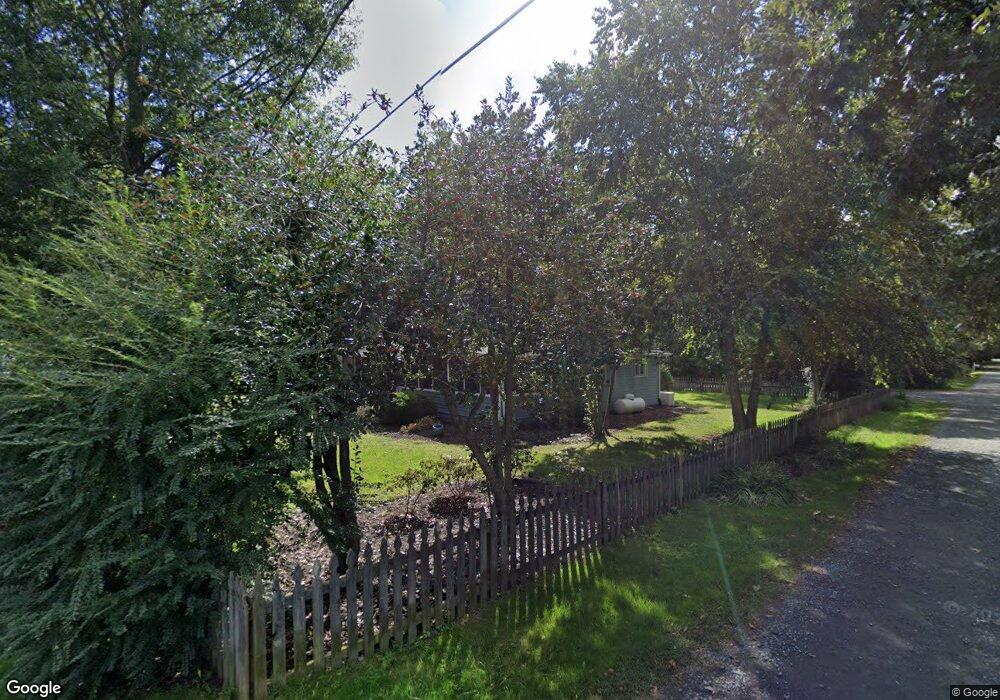
4728 Poplar Rd Shady Side, MD 20764
Estimated Value: $407,338 - $503,000
Studio
1
Bath
1,542
Sq Ft
$293/Sq Ft
Est. Value
About This Home
This home is located at 4728 Poplar Rd, Shady Side, MD 20764 and is currently estimated at $452,085, approximately $293 per square foot. 4728 Poplar Rd is a home located in Anne Arundel County with nearby schools including Shady Side Elementary School, Southern Middle School, and Southern High School.
Ownership History
Date
Name
Owned For
Owner Type
Purchase Details
Closed on
Jul 2, 2020
Sold by
Roesler Joann M and Courtney Irwin Greene
Bought by
Roesler Joann M
Current Estimated Value
Purchase Details
Closed on
Sep 25, 2014
Sold by
Patricia Renno Revocable Trust
Bought by
Kerill William B and Kerill Suzanne D
Purchase Details
Closed on
Aug 16, 2012
Sold by
Roesler Joann M
Bought by
Roesler Joann M and Courtney Ii Irwin Greene
Purchase Details
Closed on
Apr 10, 1989
Sold by
Burns William S
Bought by
Roesler Joann M
Home Financials for this Owner
Home Financials are based on the most recent Mortgage that was taken out on this home.
Original Mortgage
$90,400
Interest Rate
11.07%
Create a Home Valuation Report for This Property
The Home Valuation Report is an in-depth analysis detailing your home's value as well as a comparison with similar homes in the area
Home Values in the Area
Average Home Value in this Area
Purchase History
| Date | Buyer | Sale Price | Title Company |
|---|---|---|---|
| Roesler Joann M | -- | None Available | |
| Kerill William B | $325,000 | Legends Title Group | |
| Roesler Joann M | -- | None Available | |
| Roesler Joann M | $113,000 | -- |
Source: Public Records
Mortgage History
| Date | Status | Borrower | Loan Amount |
|---|---|---|---|
| Previous Owner | Roesler Joann M | $90,400 |
Source: Public Records
Tax History
| Year | Tax Paid | Tax Assessment Tax Assessment Total Assessment is a certain percentage of the fair market value that is determined by local assessors to be the total taxable value of land and additions on the property. | Land | Improvement |
|---|---|---|---|---|
| 2025 | $2,787 | $279,200 | -- | -- |
| 2024 | $2,787 | $265,300 | $0 | $0 |
| 2023 | $2,474 | $251,400 | $140,500 | $110,900 |
| 2022 | $2,592 | $248,033 | $0 | $0 |
| 2020 | $947 | $241,300 | $140,500 | $100,800 |
| 2019 | $832 | $229,533 | $0 | $0 |
| 2018 | $2,208 | $217,767 | $0 | $0 |
| 2017 | $2,317 | $206,000 | $0 | $0 |
| 2016 | -- | $205,767 | $0 | $0 |
| 2015 | -- | $205,533 | $0 | $0 |
| 2014 | -- | $205,300 | $0 | $0 |
Source: Public Records
Map
Nearby Homes
- 4738 Washington Ave
- 4721 Girton Ave
- 1650 Cedar Ln
- 4949 Idlewilde Rd
- 1462 Snug Harbor Rd
- 4846 Woods Wharf Rd
- 5191 Spring Ave
- 1379 McDonald Rd
- 1340 E West Shady Side Rd
- 1451 Shady Rest Rd
- 1419 Shady Rest Rd
- 1199 Oak Ave
- 1302 Spruce St
- 1225 Juniper St
- 1241 Steamboat Rd
- 1461 Cedarhurst Rd
- 1330 Jordan Dr
- 0 Haile Pkwy Unit MDAA2127474
- 1445 & 1447 Haile Pkwy
- 1436 Haile Pkwy
Your Personal Tour Guide
Ask me questions while you tour the home.