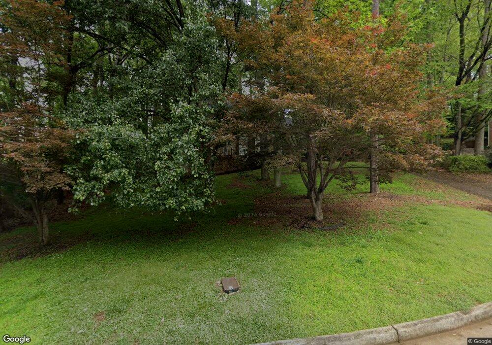
4729 Brownstone Dr Unit 1 Duluth, GA 30096
Estimated Value: $586,452 - $638,000
4
Beds
3
Baths
2,392
Sq Ft
$257/Sq Ft
Est. Value
About This Home
This home is located at 4729 Brownstone Dr Unit 1, Duluth, GA 30096 and is currently estimated at $615,113, approximately $257 per square foot. 4729 Brownstone Dr Unit 1 is a home located in Gwinnett County with nearby schools including Berkeley Lake Elementary School, Duluth Middle School, and Duluth High School.
Ownership History
Date
Name
Owned For
Owner Type
Purchase Details
Closed on
Dec 29, 2014
Sold by
Brincks Cynthia L
Bought by
Brincks Cynthia L and Brincks Dennis J
Current Estimated Value
Purchase Details
Closed on
Mar 24, 1998
Sold by
Jones Marion D and Jones Caroldene M
Bought by
Brincks Cynthia L
Home Financials for this Owner
Home Financials are based on the most recent Mortgage that was taken out on this home.
Original Mortgage
$158,000
Interest Rate
7.01%
Mortgage Type
New Conventional
Create a Home Valuation Report for This Property
The Home Valuation Report is an in-depth analysis detailing your home's value as well as a comparison with similar homes in the area
Home Values in the Area
Average Home Value in this Area
Purchase History
| Date | Buyer | Sale Price | Title Company |
|---|---|---|---|
| Brincks Cynthia L | -- | -- | |
| Brincks Cynthia L | $197,500 | -- |
Source: Public Records
Mortgage History
| Date | Status | Borrower | Loan Amount |
|---|---|---|---|
| Previous Owner | Brincks Cynthia L | $158,000 |
Source: Public Records
Tax History
| Year | Tax Paid | Tax Assessment Tax Assessment Total Assessment is a certain percentage of the fair market value that is determined by local assessors to be the total taxable value of land and additions on the property. | Land | Improvement |
|---|---|---|---|---|
| 2025 | $1,487 | $249,600 | $34,000 | $215,600 |
| 2024 | $1,464 | $227,560 | $41,600 | $185,960 |
| 2023 | $1,464 | $214,440 | $36,360 | $178,080 |
| 2022 | $1,453 | $184,960 | $36,360 | $148,600 |
| 2021 | $1,448 | $152,280 | $28,800 | $123,480 |
| 2020 | $1,444 | $142,840 | $24,000 | $118,840 |
| 2019 | $1,328 | $142,840 | $24,000 | $118,840 |
| 2018 | $1,324 | $142,840 | $24,000 | $118,840 |
| 2016 | $1,280 | $115,000 | $22,000 | $93,000 |
| 2015 | $1,312 | $103,840 | $22,000 | $81,840 |
| 2014 | -- | $103,840 | $22,000 | $81,840 |
Source: Public Records
Map
Nearby Homes
- 3850 River Hollow Run
- 3870 River Mansion Dr
- 4915 Millers Trace
- 3555 Schilling Ridge
- 3610 Mansions Pkwy
- 4819 Coppedge Trail
- 4006 N Berkeley Lake Rd NW
- 335 Marshy Pointe
- 195 High Bluff Ct
- 4048 Kingsley Park Ln
- 4775 Berkeley Walk Point
- 5018 Wickford Dr
- 250 Parian Run
- 3507 Dunlin Shore Ct Unit 3
- 3425 Kingsland Cir
- 4897 Lou Ivy Rd
- 4611 Medlock Bridge Rd
- 5064 Insperon Ln Unit 34
- 0 Medlock Bridge Rd Unit 7311679
- 4640 Avocet Dr
- 4739 Brownstone Dr
- 4773 Riveredge Dr
- 4719 Brownstone Dr
- 4684 Stonehenge Dr
- 4674 Stonehenge Dr Unit 2
- 4743 Riveredge Dr Unit 1
- 4718 Brownstone Dr
- 4728 Brownstone Dr
- 4783 Riveredge Dr
- 4664 Stonehenge Dr
- 4694 Stonehenge Dr
- 4793 Riveredge Dr
- 4654 Stonehenge Dr
- 3748 Coldstream Ln
- 4723 Riveredge Dr
- 4772 Riveredge Dr
- 4782 Riveredge Dr Unit 3
- 4742 Riveredge Dr
- 3747 Coldstream Ln
- 4665 Stonehenge Dr
Your Personal Tour Guide
Ask me questions while you tour the home.
