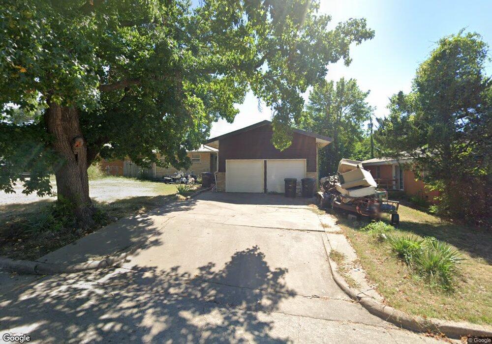
4729 Cornell Dr Bartlesville, OK 74006
Estimated Value: $86,000 - $140,000
3
Beds
3
Baths
1,250
Sq Ft
$89/Sq Ft
Est. Value
About This Home
This home is located at 4729 Cornell Dr, Bartlesville, OK 74006 and is currently estimated at $111,323, approximately $89 per square foot. 4729 Cornell Dr is a home located in Washington County with nearby schools including Hoover Elementary School, Madison Middle School, and Bartlesville High School.
Ownership History
Date
Name
Owned For
Owner Type
Purchase Details
Closed on
Dec 19, 2022
Sold by
Nading Timothy Joe
Bought by
Mcarthur James D
Current Estimated Value
Home Financials for this Owner
Home Financials are based on the most recent Mortgage that was taken out on this home.
Original Mortgage
$63,822
Outstanding Balance
$61,843
Interest Rate
6.95%
Mortgage Type
FHA
Estimated Equity
$49,480
Create a Home Valuation Report for This Property
The Home Valuation Report is an in-depth analysis detailing your home's value as well as a comparison with similar homes in the area
Home Values in the Area
Average Home Value in this Area
Purchase History
| Date | Buyer | Sale Price | Title Company |
|---|---|---|---|
| Mcarthur James D | $65,000 | -- |
Source: Public Records
Mortgage History
| Date | Status | Borrower | Loan Amount |
|---|---|---|---|
| Open | Mcarthur James D | $63,822 |
Source: Public Records
Tax History
| Year | Tax Paid | Tax Assessment Tax Assessment Total Assessment is a certain percentage of the fair market value that is determined by local assessors to be the total taxable value of land and additions on the property. | Land | Improvement |
|---|---|---|---|---|
| 2025 | $997 | $8,304 | $1,020 | $7,284 |
| 2024 | $1,022 | $8,511 | $1,020 | $7,491 |
| 2023 | $1,022 | $8,105 | $1,020 | $7,085 |
| 2022 | $526 | $5,552 | $671 | $4,881 |
| 2021 | $497 | $5,234 | $629 | $4,605 |
| 2020 | $490 | $5,081 | $609 | $4,472 |
| 2019 | $472 | $4,933 | $589 | $4,344 |
| 2018 | $470 | $4,933 | $589 | $4,344 |
| 2017 | $481 | $4,933 | $589 | $4,344 |
| 2016 | $452 | $4,933 | $589 | $4,344 |
| 2015 | $457 | $4,933 | $589 | $4,344 |
| 2014 | $463 | $4,933 | $589 | $4,344 |
Source: Public Records
Map
Nearby Homes
- 4709 Amherst Dr
- 543 SE Wilshire Ave
- 5012 Allen Ct
- 4507 E Frank Phillips Blvd
- 1001 May Ln
- 1045 Rolling Meadows Ct
- 919 Terri Dr
- 1037 Meadow Dr
- 4610 Rolling Meadows Rd
- 0 E Frank Phillips Blvd Unit 2608484
- 0 SE Adams Rd Unit 2606810
- 1115 Grandview Rd
- 1030 East Dr
- 320 SE Greystone Ave
- 1309 Harned Dr
- 1307 S Madison Blvd
- 1324 Lariat Dr
- 5712 Hazel Rd
- 4008 State St
- 618 Kenwood Dr
- 4733 Cornell Dr
- 4725 Cornell Dr
- 4730 Dartmouth Dr
- 4726 Dartmouth Dr
- 4737 Cornell Dr
- 4737 SE Cornell
- 4721 Cornell Dr
- 4722 Dartmouth Dr
- 4734 Dartmouth Dr
- 4736 Cornell Dr
- 4740 Cornell Dr
- 4728 Cornell Dr
- 4741 Cornell Dr
- 4741 SE Cornell
- 4717 Cornell Dr
- 4738 Dartmouth Dr
- 4744 Cornell Dr
- 4724 Cornell Dr
- 4718 Dartmouth Dr
- 4745 Cornell Dr
Your Personal Tour Guide
Ask me questions while you tour the home.