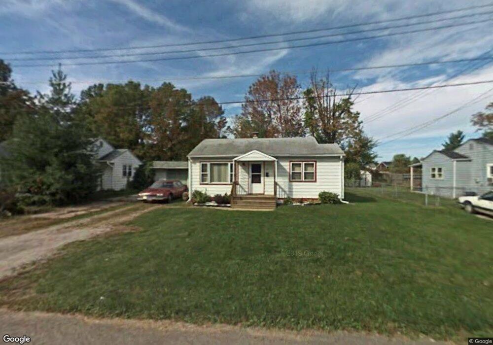
473 Collins Dr Mansfield, OH 44903
Estimated Value: $68,997 - $75,000
2
Beds
1
Bath
720
Sq Ft
$100/Sq Ft
Est. Value
About This Home
This home is located at 473 Collins Dr, Mansfield, OH 44903 and is currently estimated at $71,999, approximately $99 per square foot. 473 Collins Dr is a home located in Richland County with nearby schools including Foundation Academy, Mansfield Elective Academy, and Goal Digital Academy.
Ownership History
Date
Name
Owned For
Owner Type
Purchase Details
Closed on
Jul 30, 1999
Sold by
Goetz Anna M
Bought by
Reese David A and Reese Michelle
Current Estimated Value
Home Financials for this Owner
Home Financials are based on the most recent Mortgage that was taken out on this home.
Original Mortgage
$26,400
Outstanding Balance
$7,610
Interest Rate
7.69%
Mortgage Type
New Conventional
Estimated Equity
$64,389
Purchase Details
Closed on
Oct 7, 1992
Bought by
Swetcoff Anna M
Create a Home Valuation Report for This Property
The Home Valuation Report is an in-depth analysis detailing your home's value as well as a comparison with similar homes in the area
Home Values in the Area
Average Home Value in this Area
Purchase History
| Date | Buyer | Sale Price | Title Company |
|---|---|---|---|
| Reese David A | $22,500 | -- | |
| Swetcoff Anna M | -- | -- |
Source: Public Records
Mortgage History
| Date | Status | Borrower | Loan Amount |
|---|---|---|---|
| Open | Reese David A | $26,400 |
Source: Public Records
Tax History
| Year | Tax Paid | Tax Assessment Tax Assessment Total Assessment is a certain percentage of the fair market value that is determined by local assessors to be the total taxable value of land and additions on the property. | Land | Improvement |
|---|---|---|---|---|
| 2024 | $581 | $12,690 | $1,530 | $11,160 |
| 2023 | $594 | $12,690 | $1,530 | $11,160 |
| 2022 | $540 | $9,670 | $1,400 | $8,270 |
| 2021 | $544 | $9,670 | $1,400 | $8,270 |
| 2020 | $556 | $9,670 | $1,400 | $8,270 |
| 2019 | $617 | $9,670 | $1,400 | $8,270 |
| 2018 | $608 | $9,670 | $1,400 | $8,270 |
| 2017 | $592 | $9,670 | $1,400 | $8,270 |
| 2016 | $656 | $10,390 | $2,210 | $8,180 |
| 2015 | $626 | $10,390 | $2,210 | $8,180 |
| 2014 | $618 | $10,390 | $2,210 | $8,180 |
| 2012 | $248 | $10,930 | $2,320 | $8,610 |
Source: Public Records
Map
Nearby Homes
- 688 Mcpherson St
- 0 State Route 314 Unit 9069650
- 799 Mcpherson St
- 0 Lemley Ave Unit 9070540
- 572 France St
- 516 Burns St
- 641 Averill Ave
- 0 Highway 30
- 230 Rae Ave
- 701 Springmill St
- 447 Spayer Ln
- 224 Atcheson Ave
- 0 Voegele Ave Unit Lot 6048, 6049, 6
- 368 W 6th St
- 519 Heineman Blvd
- 10 Gray Ct
- 761 Fairfax Ave
- 340 Boston Ave
- 728 N Trimble Rd
- 0 W Fourth St - Trimble Lenox
Your Personal Tour Guide
Ask me questions while you tour the home.