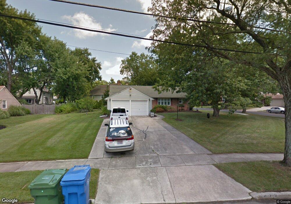
473 Covered Bridge Rd Cherry Hill, NJ 08034
Estimated Value: $360,000 - $547,000
Studio
--
Bath
1,666
Sq Ft
$285/Sq Ft
Est. Value
About This Home
This home is located at 473 Covered Bridge Rd, Cherry Hill, NJ 08034 and is currently estimated at $474,964, approximately $285 per square foot. 473 Covered Bridge Rd is a home located in Camden County with nearby schools including A. Russell Knight Elementary School, John A Carusi Middle School, and Cherry Hill High-West High School.
Ownership History
Date
Name
Owned For
Owner Type
Purchase Details
Closed on
Feb 18, 2005
Sold by
C Marion Hess Est Of
Bought by
Pepper Thomas
Current Estimated Value
Home Financials for this Owner
Home Financials are based on the most recent Mortgage that was taken out on this home.
Original Mortgage
$170,000
Outstanding Balance
$86,295
Interest Rate
5.73%
Estimated Equity
$388,669
Create a Home Valuation Report for This Property
The Home Valuation Report is an in-depth analysis detailing your home's value as well as a comparison with similar homes in the area
Home Values in the Area
Average Home Value in this Area
Purchase History
| Date | Buyer | Sale Price | Title Company |
|---|---|---|---|
| Pepper Thomas | $260,000 | -- |
Source: Public Records
Mortgage History
| Date | Status | Borrower | Loan Amount |
|---|---|---|---|
| Open | Pepper Thomas | $170,000 |
Source: Public Records
Tax History
| Year | Tax Paid | Tax Assessment Tax Assessment Total Assessment is a certain percentage of the fair market value that is determined by local assessors to be the total taxable value of land and additions on the property. | Land | Improvement |
|---|---|---|---|---|
| 2025 | $9,957 | $223,300 | $73,500 | $149,800 |
| 2024 | $9,383 | $223,300 | $73,500 | $149,800 |
| 2023 | $9,383 | $223,300 | $73,500 | $149,800 |
| 2022 | $9,124 | $223,300 | $73,500 | $149,800 |
| 2021 | $9,153 | $223,300 | $73,500 | $149,800 |
| 2020 | $9,041 | $223,300 | $73,500 | $149,800 |
| 2019 | $9,037 | $223,300 | $73,500 | $149,800 |
| 2018 | $9,012 | $223,300 | $73,500 | $149,800 |
| 2017 | $8,890 | $223,300 | $73,500 | $149,800 |
| 2016 | $8,771 | $223,300 | $73,500 | $149,800 |
| 2015 | $8,633 | $223,300 | $73,500 | $149,800 |
| 2014 | $8,537 | $223,300 | $73,500 | $149,800 |
Source: Public Records
Map
Nearby Homes
- 1023 Red Oak Dr
- 113 White Oak Rd
- 418 Sherry Way
- 333 Covered Bridge Rd
- 21 Teak Ct
- 121 Europa Blvd
- 803 Kresson Rd
- 324 Tuvira Ln
- 116 Pine Valley Rd
- 116 Fox Chase Ln
- 371 Kresson Rd
- 150 Pearl Croft Rd
- 115 Courtland Rd
- 1121 Winding Dr
- 32 Imperial Dr
- 7 Cameo Ct
- 2 Collage Ct
- 1840 Frontage Rd Unit 1004
- 1840 Frontage Rd Unit 1103
- 124 Edison Rd
- 469 Covered Bridge Rd
- 440 Burning Tree Rd
- 436 Burning Tree Rd
- 477 Covered Bridge Rd
- 476 Covered Bridge Rd
- 465 Covered Bridge Rd
- 451 Burning Tree Rd
- 472 Covered Bridge Rd
- 447 Burning Tree Rd
- 480 Covered Bridge Rd
- 443 Burning Tree Rd
- 468 Covered Bridge Rd
- 439 Burning Tree Rd
- 461 Covered Bridge Rd
- 481 Covered Bridge Rd
- 464 Covered Bridge Rd
- 484 Covered Bridge Rd
- 1235 Black Baron Dr
- 428 Burning Tree Rd
- 429 Burning Tree Rd
Your Personal Tour Guide
Ask me questions while you tour the home.