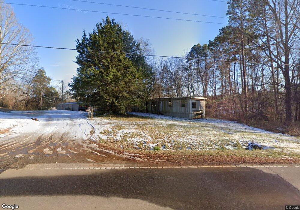
473 Dalton Rd Mocksville, NC 27028
Estimated Value: $308,000 - $450,982
2
Beds
1
Bath
1,168
Sq Ft
$334/Sq Ft
Est. Value
About This Home
This home is located at 473 Dalton Rd, Mocksville, NC 27028 and is currently estimated at $390,661, approximately $334 per square foot. 473 Dalton Rd is a home located in Davie County with nearby schools including Cornatzer Elementary School, William Ellis Middle School, and Davie County High School.
Ownership History
Date
Name
Owned For
Owner Type
Purchase Details
Closed on
Feb 20, 2023
Sold by
Allen Cathy D and Allen Eric J
Bought by
Allen Cathy D and Allen Eric J
Current Estimated Value
Purchase Details
Closed on
Oct 27, 2015
Sold by
Allen Cathy Draughn
Bought by
Allen Cathy D and Eric Allen J
Purchase Details
Closed on
Dec 14, 2006
Sold by
Allen Larry Joe
Bought by
Allen Larry Joe and Allen Cathy Draughn
Purchase Details
Closed on
Sep 1, 1960
Create a Home Valuation Report for This Property
The Home Valuation Report is an in-depth analysis detailing your home's value as well as a comparison with similar homes in the area
Home Values in the Area
Average Home Value in this Area
Purchase History
| Date | Buyer | Sale Price | Title Company |
|---|---|---|---|
| Allen Cathy D | -- | -- | |
| Semaji Group Llc | -- | -- | |
| Allen Cathy D | -- | None Available | |
| Allen Larry Joe | -- | Attorney | |
| Allen Larry Joe | $85,000 | Attorney | |
| -- | -- | -- |
Source: Public Records
Tax History Compared to Growth
Tax History
| Year | Tax Paid | Tax Assessment Tax Assessment Total Assessment is a certain percentage of the fair market value that is determined by local assessors to be the total taxable value of land and additions on the property. | Land | Improvement |
|---|---|---|---|---|
| 2025 | $1,821 | $264,470 | $0 | $0 |
| 2024 | $1,420 | $183,700 | $0 | $0 |
| 2023 | $1,420 | $183,700 | $0 | $0 |
| 2022 | $1,420 | $183,700 | $0 | $0 |
| 2021 | $1,420 | $183,700 | $0 | $0 |
| 2020 | $1,362 | $175,110 | $0 | $0 |
| 2019 | $1,362 | $175,110 | $0 | $0 |
| 2018 | $1,362 | $175,110 | $0 | $0 |
| 2017 | $1,345 | $175,110 | $0 | $0 |
| 2016 | $1,151 | $149,910 | $0 | $0 |
| 2015 | $334 | $149,910 | $0 | $0 |
| 2014 | -- | $43,490 | $0 | $0 |
| 2013 | -- | $43,490 | $0 | $0 |
Source: Public Records
Map
Nearby Homes
- 174 Eric Rd Unit 12
- 174 Eric Rd
- 822 Turrentine Church Rd
- 130 Turrentine Church Rd
- 718 Deadmon Rd
- 876 Deadmon Rd
- 882 Deadmon Rd
- 890 Deadmon Rd
- 898 Deadmon Rd
- 906 Deadmon Rd
- 916 Deadmon Rd
- 109 Marbrook Dr
- KYLE Plan at Hudson Glen
- BELHAVEN Plan at Hudson Glen
- PENWELL Plan at Hudson Glen
- HAYDEN Plan at Hudson Glen
- CALI Plan at Hudson Glen
- 158 John Crotts Rd
- 191 Big Laurel Dr
- 193 Big Laurel Dr
- 119 Faith Ln
- 445 Dalton Rd
- 143 Faith Ln
- 431 Dalton Rd
- 425 Dalton Rd
- 482 Turrentine Church Rd
- 466 Turrentine Church Rd
- 129 Piper Ln
- 510 Turrentine Church Rd
- 119 Drexel Ln
- 365 Dalton Rd
- 428 Turrentine Church Rd
- 410 Turrentine Church Rd
- TBD Dalton Rd
- 383 Turrentine Church Rd
- 173 Piper Ln
- 176 Piper Ln
- 335 Dalton Rd
- 00 Turrentine Church Rd
- 619 Turrentine Church Rd