473 Highway 464 Leesville, LA 71446
Estimated Value: $229,308 - $303,000
4
Beds
2
Baths
3,852
Sq Ft
$70/Sq Ft
Est. Value
About This Home
This home is located at 473 Highway 464, Leesville, LA 71446 and is currently estimated at $269,577, approximately $69 per square foot. 473 Highway 464 is a home located in Vernon Parish.
Ownership History
Date
Name
Owned For
Owner Type
Purchase Details
Closed on
Jan 18, 2024
Sold by
Sanders Linda Jo
Bought by
Stolfi Donna J and Stolfi Leo M
Current Estimated Value
Purchase Details
Closed on
Jan 25, 2007
Sold by
Meyer Wilfried Klaus
Bought by
Robbins Ruel Michael and Robbins Rebecca Louise Burch
Create a Home Valuation Report for This Property
The Home Valuation Report is an in-depth analysis detailing your home's value as well as a comparison with similar homes in the area
Purchase History
| Date | Buyer | Sale Price | Title Company |
|---|---|---|---|
| Stolfi Donna J | -- | None Listed On Document | |
| Robbins Ruel Michael | $161,000 | -- |
Source: Public Records
Tax History
| Year | Tax Paid | Tax Assessment Tax Assessment Total Assessment is a certain percentage of the fair market value that is determined by local assessors to be the total taxable value of land and additions on the property. | Land | Improvement |
|---|---|---|---|---|
| 2025 | $896 | $19,930 | $1,600 | $18,330 |
| 2024 | $905 | $19,930 | $1,600 | $18,330 |
| 2023 | $928 | $19,820 | $1,450 | $18,370 |
| 2022 | $2,180 | $19,820 | $1,450 | $18,370 |
| 2021 | $2,519 | $18,150 | $1,450 | $16,700 |
| 2020 | $2,782 | $18,150 | $1,450 | $16,700 |
| 2019 | $2,453 | $18,150 | $1,450 | $16,700 |
| 2018 | $2,625 | $18,150 | $1,450 | $16,700 |
| 2017 | $2,413 | $18,150 | $1,450 | $16,700 |
| 2015 | $2,439 | $17,620 | $920 | $16,700 |
| 2014 | $1,534 | $11,920 | $920 | $11,000 |
| 2013 | $1,793 | $11,920 | $920 | $11,000 |
Source: Public Records
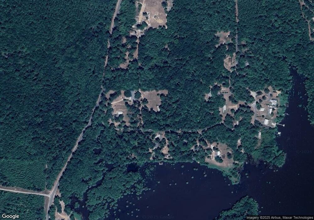
Map
Nearby Homes
- 0 Tbd Hwy 8 & 464 Unit 29-1650
- 0 Hwy 8 & 464 Hwy Unit SWL22004749
- 0 Archie Wilbert Rd
- 0 Lot 7 Woodland Park Phase III Unit 29-1652
- 149 Methodist Landing Rd
- 601 Vinson Rd
- 0 Empire Point Rd
- 588 Hickory Ridge Rd
- 0 Woods Rd Unit RD
- 0 Nichols Rd
- 147 Blackmon Rd
- 115 Deerhunter Ln
- 1976 Savage Forks Rd
- 728 Section Line Rd
- 128 Kelley St
- 579 Lake Vernon Rd
- TBD Driftwood Dr
- 708 Woodland Dr
- 0 Tbd Driftwood Dr
- 0 Mt Pleasant Cemetery Rd
- 167 J M Q Loop
- 140 Harman Loop
- 232 J M Q Loop
- 336 John Jeane Rd
- 328 Highway 464
- 289 Highway 464
- 176 Cole Rd
- 576 Highway 464
- 220 H Roberts Rd
- 587 Highway 464
- 149 Cole Rd
- 501 John Jeane Rd
- 501 John Jeane Rd
- 139 H Roberts Rd
- 160 Cole Rd
- 906 Louisiana 464
- 906 Louisiana 464
- 161 Cole Rd
- 148 Highway 464
- 117 Rabbit Island Ln
Your Personal Tour Guide
Ask me questions while you tour the home.