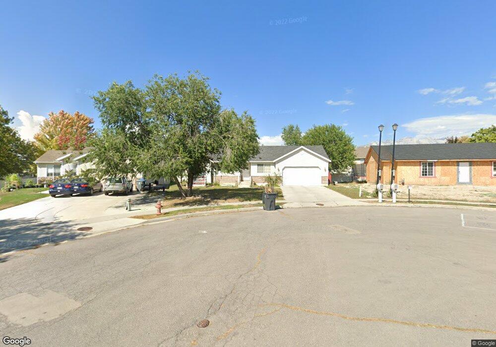
473 N 480 W American Fork, UT 84003
Estimated Value: $508,000 - $574,461
3
Beds
2
Baths
2,320
Sq Ft
$232/Sq Ft
Est. Value
About This Home
This home is located at 473 N 480 W, American Fork, UT 84003 and is currently estimated at $538,487, approximately $232 per square foot. 473 N 480 W is a home located in Utah County with nearby schools including Shelley Elementary School, American Fork Junior High School, and American Fork High School.
Ownership History
Date
Name
Owned For
Owner Type
Purchase Details
Closed on
Dec 15, 2023
Sold by
Fautin Lynn Silvia
Bought by
Hunt Austin Tyler and Hunt Kaylee Ann
Current Estimated Value
Home Financials for this Owner
Home Financials are based on the most recent Mortgage that was taken out on this home.
Original Mortgage
$160,000
Outstanding Balance
$148,784
Interest Rate
7.03%
Mortgage Type
New Conventional
Estimated Equity
$389,703
Purchase Details
Closed on
Feb 11, 2004
Sold by
Fautin Russell
Bought by
Fautin Dora
Purchase Details
Closed on
Jul 26, 2000
Sold by
Building Youth Institute
Bought by
Peterson Joel A and Peterson Leann Z
Home Financials for this Owner
Home Financials are based on the most recent Mortgage that was taken out on this home.
Original Mortgage
$153,477
Interest Rate
8.2%
Mortgage Type
FHA
Create a Home Valuation Report for This Property
The Home Valuation Report is an in-depth analysis detailing your home's value as well as a comparison with similar homes in the area
Home Values in the Area
Average Home Value in this Area
Purchase History
| Date | Buyer | Sale Price | Title Company |
|---|---|---|---|
| Hunt Austin Tyler | -- | Inwest Title | |
| Fautin Dora | -- | Title West Title Company | |
| Fautin Russell | -- | Title West Title Company | |
| Peterson Joel A | -- | First American Title Co |
Source: Public Records
Mortgage History
| Date | Status | Borrower | Loan Amount |
|---|---|---|---|
| Open | Hunt Austin Tyler | $160,000 | |
| Previous Owner | Peterson Joel A | $153,477 |
Source: Public Records
Tax History
| Year | Tax Paid | Tax Assessment Tax Assessment Total Assessment is a certain percentage of the fair market value that is determined by local assessors to be the total taxable value of land and additions on the property. | Land | Improvement |
|---|---|---|---|---|
| 2025 | $2,294 | $280,225 | -- | -- |
| 2024 | $2,294 | $463,500 | $0 | $0 |
| 2023 | $2,151 | $253,330 | $0 | $0 |
| 2022 | $4,292 | $499,000 | $223,600 | $275,400 |
| 2021 | $2,020 | $366,800 | $159,700 | $207,100 |
| 2020 | $1,889 | $332,600 | $142,600 | $190,000 |
| 2019 | $1,721 | $313,500 | $131,900 | $181,600 |
| 2018 | $1,623 | $282,700 | $124,800 | $157,900 |
| 2017 | $1,550 | $145,695 | $0 | $0 |
| 2016 | $1,512 | $132,055 | $0 | $0 |
| 2015 | $1,528 | $126,610 | $0 | $0 |
| 2014 | $1,428 | $116,710 | $0 | $0 |
Source: Public Records
Map
Nearby Homes
- 589 W 480 N
- 164 N 450 W
- 777 W State Rd
- 599 W 860 N
- 831 N 600 W
- 621 N 100 W
- 120 N 350 W Unit 127
- 120 N 350 W Unit 133
- 120 N 350 W Unit 130
- 120 N 350 W Unit 129
- 120 N 350 W Unit 131
- 822 W 800 St N Unit LOT319
- 822 N 860 W Unit 317
- 764 W 880 North St Unit 308
- 217 W Main St
- 374 N Center St
- 484 N 950 W Unit 7
- 525 W 990 N
- 1023 N 250 W
- 1016 N 250 W
Your Personal Tour Guide
Ask me questions while you tour the home.