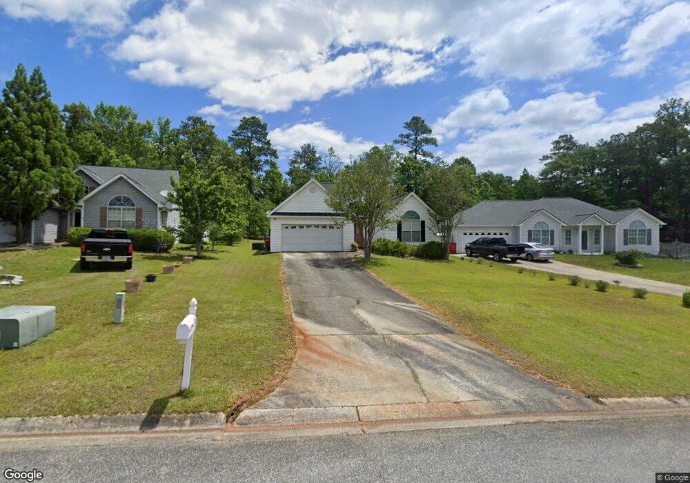
473 Simsbury Ridge Macon, GA 31220
Estimated Value: $218,000 - $224,000
3
Beds
2
Baths
1,458
Sq Ft
$152/Sq Ft
Est. Value
About This Home
This home is located at 473 Simsbury Ridge, Macon, GA 31220 and is currently estimated at $220,990, approximately $151 per square foot. 473 Simsbury Ridge is a home located in Bibb County with nearby schools including Union Elementary School, Weaver Middle School, and Westside High School.
Ownership History
Date
Name
Owned For
Owner Type
Purchase Details
Closed on
Apr 27, 2006
Sold by
Lindamood Keri B
Bought by
Smith Tony
Current Estimated Value
Home Financials for this Owner
Home Financials are based on the most recent Mortgage that was taken out on this home.
Original Mortgage
$127,893
Outstanding Balance
$73,773
Interest Rate
6.33%
Mortgage Type
FHA
Estimated Equity
$147,217
Purchase Details
Closed on
Feb 27, 2004
Purchase Details
Closed on
Nov 15, 2002
Purchase Details
Closed on
Jul 24, 2000
Create a Home Valuation Report for This Property
The Home Valuation Report is an in-depth analysis detailing your home's value as well as a comparison with similar homes in the area
Home Values in the Area
Average Home Value in this Area
Purchase History
| Date | Buyer | Sale Price | Title Company |
|---|---|---|---|
| Smith Tony | $129,900 | None Available | |
| -- | $117,000 | -- | |
| -- | $115,000 | -- | |
| -- | $108,500 | -- |
Source: Public Records
Mortgage History
| Date | Status | Borrower | Loan Amount |
|---|---|---|---|
| Open | Smith Tony | $127,893 |
Source: Public Records
Tax History Compared to Growth
Tax History
| Year | Tax Paid | Tax Assessment Tax Assessment Total Assessment is a certain percentage of the fair market value that is determined by local assessors to be the total taxable value of land and additions on the property. | Land | Improvement |
|---|---|---|---|---|
| 2024 | $1,628 | $71,116 | $13,000 | $58,116 |
| 2023 | $1,171 | $71,116 | $13,000 | $58,116 |
| 2022 | $1,890 | $61,589 | $9,200 | $52,389 |
| 2021 | $1,697 | $51,658 | $8,000 | $43,658 |
| 2020 | $1,734 | $51,658 | $8,000 | $43,658 |
| 2019 | $1,748 | $51,658 | $8,000 | $43,658 |
| 2018 | $2,857 | $51,658 | $8,000 | $43,658 |
| 2017 | $1,673 | $51,658 | $8,000 | $43,658 |
| 2016 | $1,545 | $51,658 | $8,000 | $43,658 |
| 2015 | $2,187 | $51,658 | $8,000 | $43,658 |
| 2014 | $2,191 | $51,658 | $8,000 | $43,658 |
Source: Public Records
Map
Nearby Homes
- 469 Simsbury Ridge
- 477 Simsbury Ridge
- 465 Simsbury Ridge
- 461 Simsbury Ridge
- 470 Simsbury Ridge
- 457 Simsbury Ridge
- 485 Simsbury Ridge
- 460 Simsbury Ridge
- 474 Simsbury Ridge
- 482 Simsbury Ridge
- 478 Simsbury Ridge
- 450 Simsbury Ridge
- 449 Simsbury Ridge
- 440 Simsbury Ridge
- 416 Simsbury Ridge
- 420 Simsbury Ridge
- 445 Simsbury Ridge
- 426 Simsbury Ridge
- 441 Simsbury Ridge
- 412 Simsbury Ridge