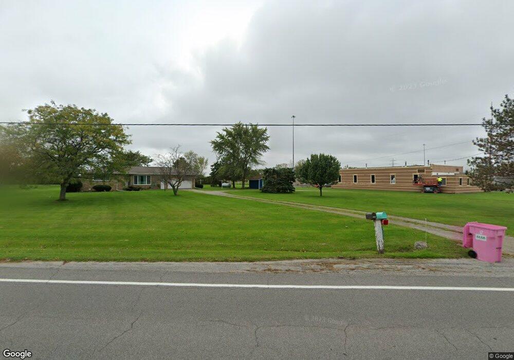
4730 E Bayshore Rd Port Clinton, OH 43452
Estimated Value: $238,000 - $303,818
2
Beds
2
Baths
1,292
Sq Ft
$213/Sq Ft
Est. Value
About This Home
This home is located at 4730 E Bayshore Rd, Port Clinton, OH 43452 and is currently estimated at $274,955, approximately $212 per square foot. 4730 E Bayshore Rd is a home located in Ottawa County with nearby schools including Danbury Middle School and Danbury High School.
Ownership History
Date
Name
Owned For
Owner Type
Purchase Details
Closed on
Jun 26, 2020
Sold by
Dubbert Betty J
Bought by
Hermes Bo Frederick
Current Estimated Value
Home Financials for this Owner
Home Financials are based on the most recent Mortgage that was taken out on this home.
Original Mortgage
$142,500
Interest Rate
3%
Mortgage Type
New Conventional
Create a Home Valuation Report for This Property
The Home Valuation Report is an in-depth analysis detailing your home's value as well as a comparison with similar homes in the area
Home Values in the Area
Average Home Value in this Area
Purchase History
| Date | Buyer | Sale Price | Title Company |
|---|---|---|---|
| Hermes Bo Frederick | $150,000 | None Available |
Source: Public Records
Mortgage History
| Date | Status | Borrower | Loan Amount |
|---|---|---|---|
| Previous Owner | Hermes Bo Frederick | $142,500 |
Source: Public Records
Tax History Compared to Growth
Tax History
| Year | Tax Paid | Tax Assessment Tax Assessment Total Assessment is a certain percentage of the fair market value that is determined by local assessors to be the total taxable value of land and additions on the property. | Land | Improvement |
|---|---|---|---|---|
| 2024 | $2,548 | $72,584 | $23,475 | $49,109 |
| 2023 | $2,548 | $63,582 | $20,108 | $43,474 |
| 2022 | $2,195 | $63,582 | $20,108 | $43,474 |
| 2021 | $2,202 | $63,580 | $20,110 | $43,470 |
| 2020 | $1,527 | $51,360 | $14,470 | $36,890 |
| 2019 | $1,434 | $51,360 | $14,470 | $36,890 |
| 2018 | $1,734 | $51,360 | $14,470 | $36,890 |
| 2017 | $1,643 | $49,350 | $13,780 | $35,570 |
| 2016 | $1,629 | $49,350 | $13,780 | $35,570 |
| 2015 | $1,640 | $49,350 | $13,780 | $35,570 |
| 2014 | $836 | $49,350 | $13,780 | $35,570 |
| 2013 | $1,570 | $49,350 | $13,780 | $35,570 |
Source: Public Records
Map
Nearby Homes
- 0 S Lightner Rd
- 0 State Route 269 Unit 20250044
- 5677 E Bayshore Rd
- 708 SE Catawba Rd Unit 2
- 708 SE Catawba Rd Unit 3
- 3720 E Clean St Unit 37
- 3720 E Clean St Unit 28,29
- 3720 E Clean St
- 2735 S Harbor Bay Dr Unit 1132
- 2782 S Waterside Ct Unit 192
- 3720 E Aqua Aire Dr Unit 138
- 2360 Yacht Club Ln Unit 9
- 2360 Yacht Club Ln
- 764 SE Catawba Rd Unit 115
- 764 SE Catawba Rd Unit 196
- 764 SE Catawba Rd Unit 109
- 764 SE Catawba Rd Unit 98
- 2324 Yacht Club Ln Unit 6
- 0 Port Clinton Eastern Rd Unit 20253597
- 0 von Glahn Rd
- 4733 E Bayshore Rd
- 4718 E Port Clinton Eastern Rd
- 4816 E Bayshore Rd
- 4850 E Bayshore Rd
- 4625 E Bayshore Rd
- 4562 E Bayshore Rd
- 4880 E Bayshore Rd
- 1745 S Chandler Dr
- 1725 S Chandler Dr
- 1805 S Chandler Dr
- 4930 E Bayshore Rd
- 4933 E Ronel Ct
- 4934 E Ronel Ct
- 1705 S Chandler Dr
- 4933 E Bayshore Rd
- 0 Ronel Ct
- 1780 S Chandler Dr
- 4964 E Ronel Ct
- 4649 E Kirk Rd
- 4965 E Bayshore Rd